RG PNAT 11 Laguna de la Salobreja
14 km circular tour to the Salobreja Lagoon

The Salobreja Lagoon Route
Dirección
Start and finish at the Peñas Rubias in Orea
GPS
40.530627285006, -1.7374608513594
Circular 14 Km | Unevenness 400 m | Duration 4 h | Route On foot
General Route 11: La Salobreja Lagoon
The proposed route is of a circularThe route will be entirely suitable for walkers and, in the case of cyclists, it will be a return trip from the Salobreja lagoon . It has a length of 14 kilometres which will take time to complete at around 4 hours. The unevenness maximum is 240 metres and falls into the category of low difficulty, although you will have to take it easy on the occasional steep slope.
To start the route we must first go to Oreaand from here take the road that leaves from the Interpretation Centre towards the campsite, and a few kilometres further on you will come to a crossroads presided over by the START PANEL where they explain the characteristics of the path we are going to tackle.
The entire route is marked with pink colourThe beacons are set up for a counter-clockwise route, taking into account that the beacons are set up for an anti-clockwise route. We recommend downloading the track We will find no fountains along the route, so it is a good idea to take water with you, as there are no fountains along the route.
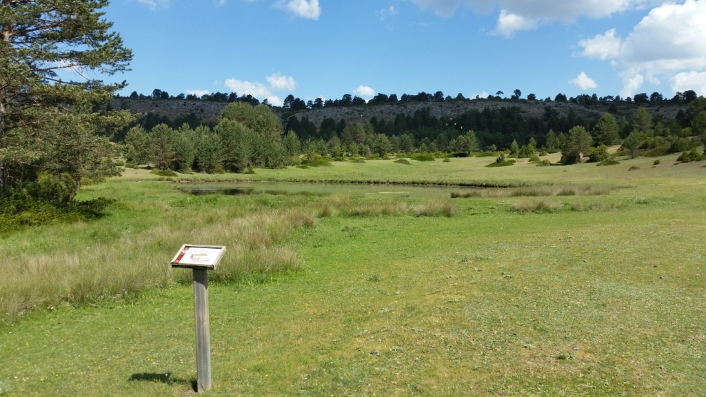
Signposting and Start of the Route
We start our walk, and a few metres later we start to see the curious formations of the enchanted city of the Peñas Rubias de OreaThese reddish mounds have been created by the action of atmospheric agents, such as ice and water, which have gradually modelled the sandstone rock.
The route continues along a somewhat exposed path for hot days, which takes us into a pine forest of Scots pine that is not very dense, so that shrub species such as the creeping juniper, hawthorn and juniper, typical species of pine forests located at high altitudes, can be seen.
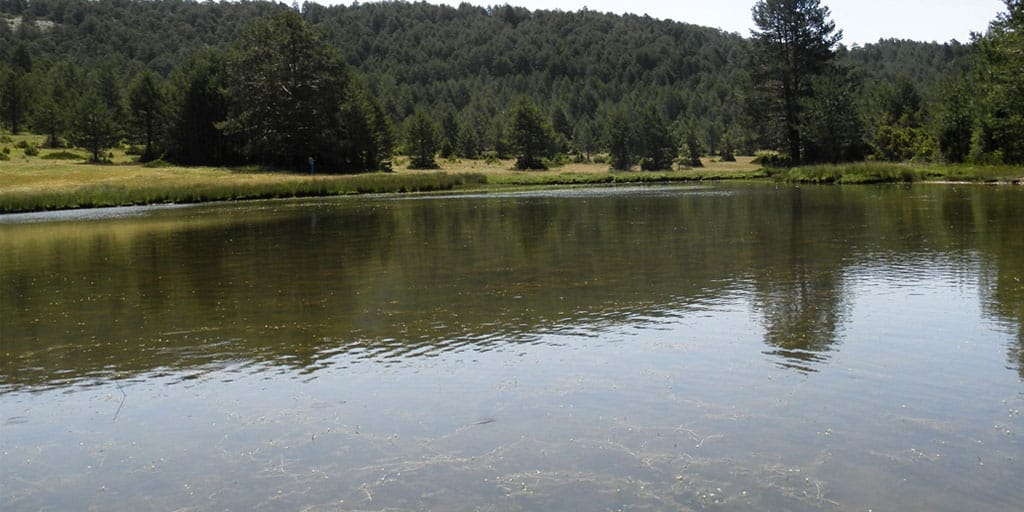
Our route continues to ascend until we reach the depression occupied by the Salobreja Lagoon located at the bottom of a "poldjé"of karstic origin. Once we have enjoyed the landscape and the views that the lagoon offers us, we can decide whether to return the way we came or do the circular route.
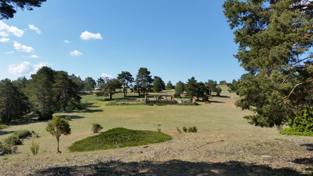
If you have decided to follow the circular route, the trail goes through the Aunt Raimunda's Ravineto the Hoz Seca River. This section runs along a path that at some points advances along the slope and at others along the bottom of the ravine in order to avoid areas with high stony ground and an abundance of barberry bushes and creeping juniper.
At the end of the ravine you reach the Hoz Seca Riverwhich runs wedged between limestone walls. When we reach the riverbed, we turn left to follow the river upstream. This section has a great variety and wealth of flora, with riverside species such as willows, mountain elms, ashes and poplars. In the shady areas we can find typical mountain species such as yew and holly trees, which form a large patch in the area of the Rocha de los TejosOn the sunny areas we find species that are more resistant to changes in temperature, such as junipers and aromatic plants.
Afterwards, once you have descended to the river, the path crosses the Hoz Seca on several occasions, sometimes on the right and sometimes on the left of the river, which at many times of the year remains dry.
Given the steepness of the ravine and its proximity to the riverbed, this section of the route should be avoided on days when there is a risk of heavy rain. Once the ravine opens up, keep an eye out and follow the pink signs, as the silt trail leaves the riverbed on the left to climb back to the start of the route.
This trail is currently part of the network of official footpaths of the Upper Tagus in the number 17It is well signposted, although it is always advisable to download the track, as at some points, especially on the descent, the route can be confusing.

