RG PNAT 6 Arroyo del Enebral
Ideal route to get to know one of the highest areas of the park.

Dirección
Start and finish in Orea
GPS
40.556173322473, -1.7266280339232
Only Ida 16 Km | 16 Km | 16 Km | 16 Km | 16 Km | 16 Km | 16 Km | 16 Km | 16 Km Unevenness 340 m | Duration 4,5 h | Route On foot - Bike
General Route 6: Arroyo del Enebral
This is one of the most complete routes of the Upper Tagus Natural Park, due to its great geological and biological diversity. The proposed itinerary starts from Oreais a route of circularof 19 kilometres in total, including the climb to the San Cristobal Hill. The unevenness accumulated around 400 metres, which is why it has been catalogued as a average difficultyThe height of the road is very high, as there are big changes in altitude to be overcome.
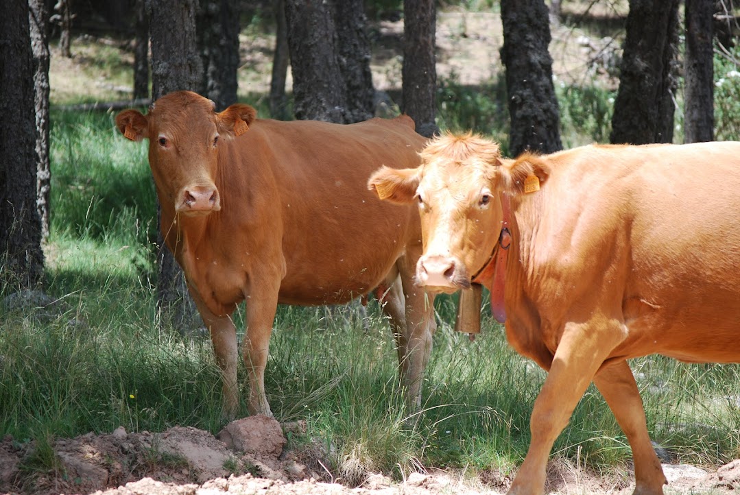
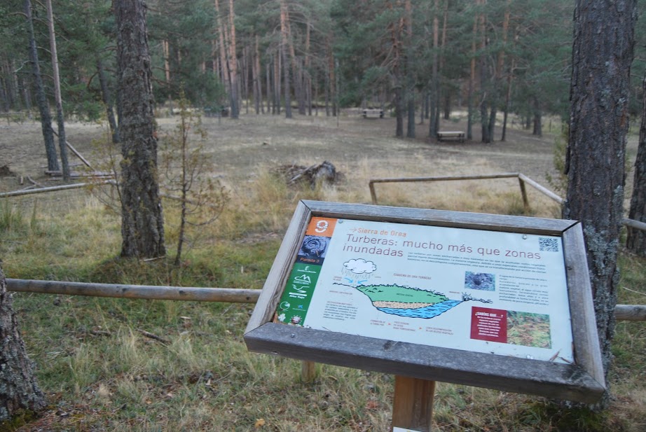
If you look closely, among the forest mass you will be able to spot some of the existing peat bogs and ponds, with species of great floristic value, such as the Drosera or carnivorous plants. The fauna that will accompany us will be mostly made up of small forest birds that live in these extensive masses, although with luck we may be able to contemplate the fleeting flight of goshawks or sparrowhawks, which nest in these forests, or come across the odd deer or roe deer, which are very abundant in the area.
Signposting and Start of the Route
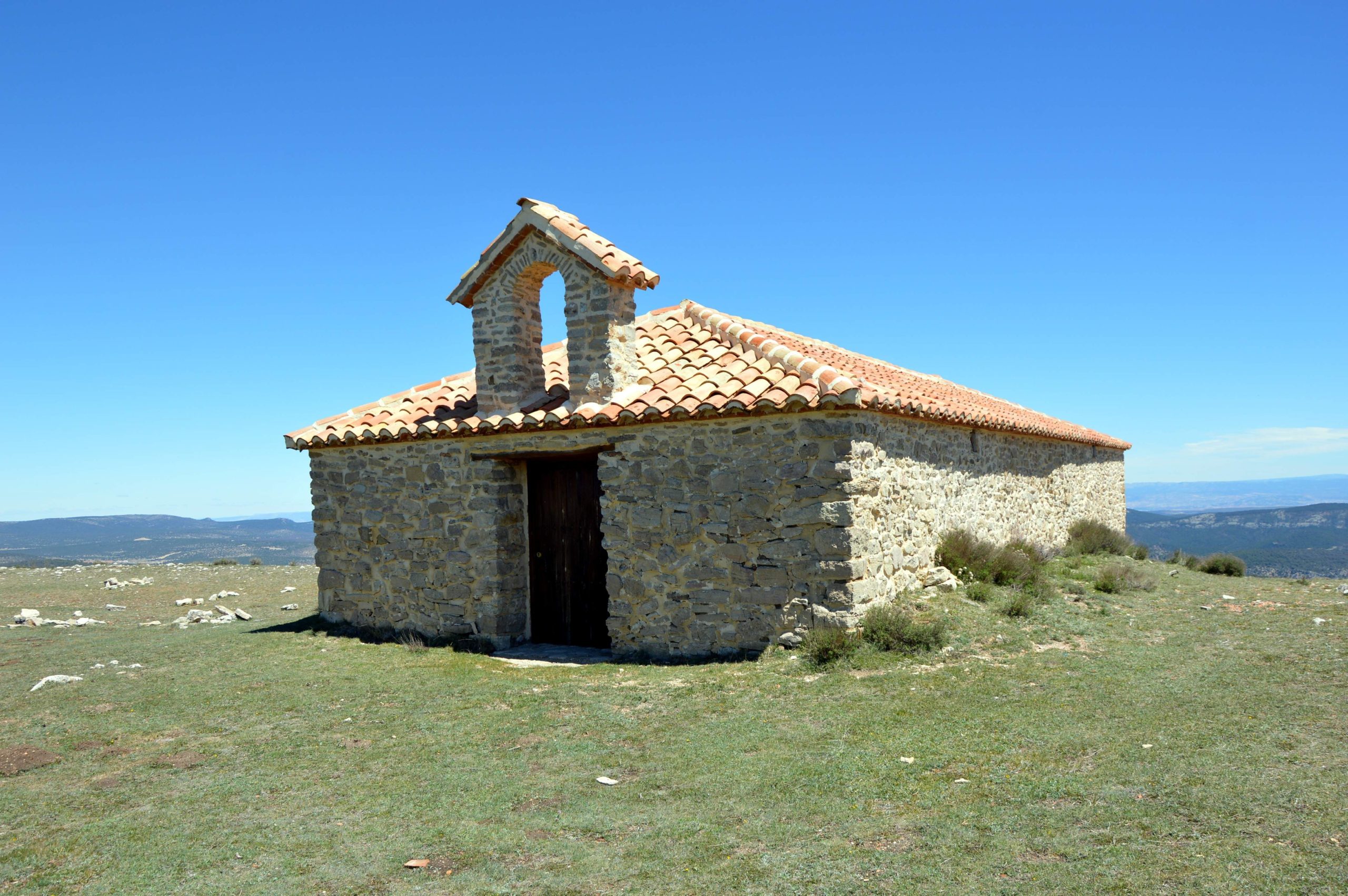
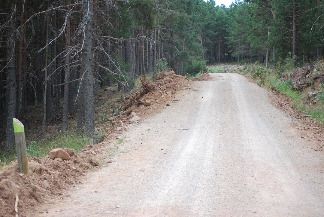
This type of long-distance route has no perceptible signposting that allows you to follow it in its entirety, despite being marked with green markings, so we recommend that you download the track to do it without over jumping. At the beginning of the route, there is an information panel with a brief description of the route.
We begin our journey by taking the path that runs along the cañada real de merinas. This is located at the exit of Orea in the direction of Orihuela del Tremedal, from here we will go steadily upwards until we reach the top of the mountain pass of Orihuela del Tremedal. Cerro de San Cristóbal.
Our path continues to climb in altitude until we reach a clear area, now occupied by a grassy area, where we can see a path to our right, which invites us to continue to the top.
Now following the road to the San Cristobal Hill We pass by extensive green meadows where, in the right months, we can observe different species of valuable mushroomsThis is one of the favourite areas for mycology lovers visiting the Alto Tajo.
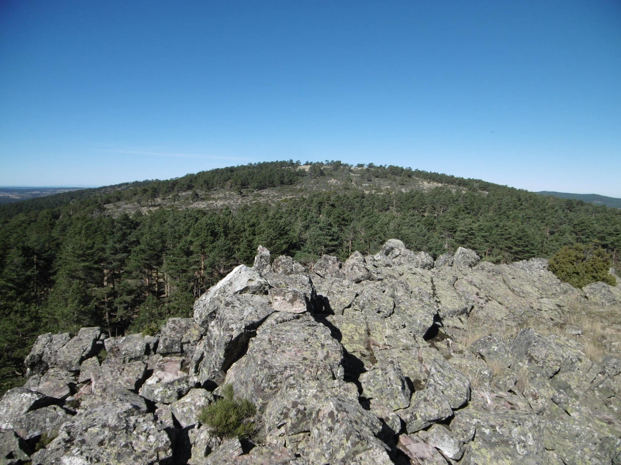
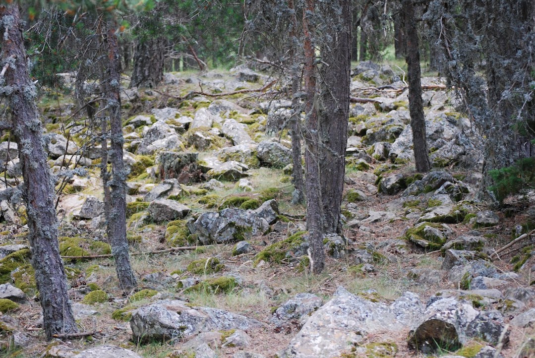
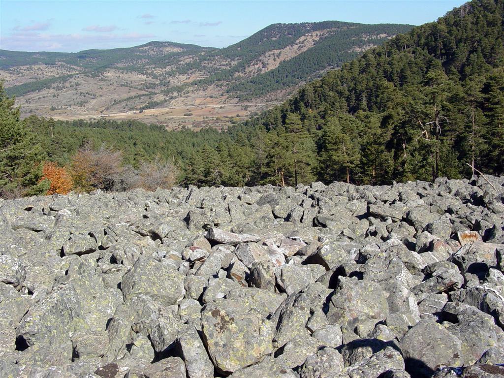
Continuing the ascent we will reach the Río de Piedrasa spectacular canchal of quartzite stone. These are large accumulations of stone blocks, which have been falling down the hillside, thanks to the atmospheric agents, which have been gradually pulling them off the nearby peaks.
Once we have enjoyed the views from the heights, we begin our descent. First we undo the path that has taken us to the top of Cerro San Cristobal, and once at the crossroads where we turned right before, we now turn right again to continue straight on along the dirt track that we were following in a continuous ascent.
From here the whole stretch is downhill until we reach the road that joins Orea with BronchalesTurn right towards Orea. Shortly after, on our right we will see the Fuente de la Jícara recreation areawhere you can contemplate "the 7 o'clock pine garras"one of the most unique trees of the High Tajo.
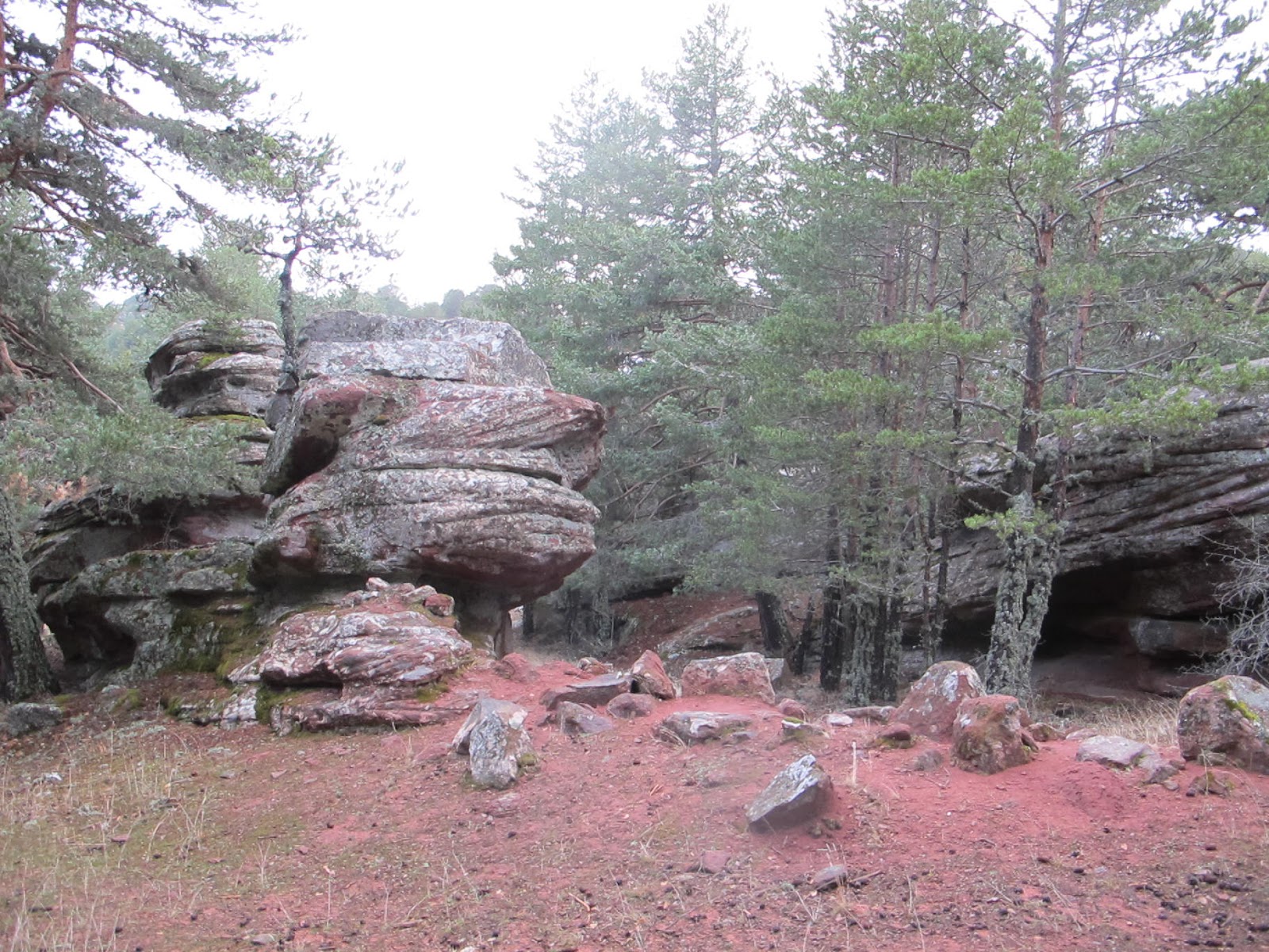
Following the asphalted road, you will come across some curious geomorphological formations on sandstone: the "Callejones Peñas Rubias" (Alleyways of Peñas Rubias)The trail is right at the start of another of the official trails of the Alto Tajo, the ascent to the Salobreja Lagoon. Continuing the route along the track and after passing through a volcanic outcropThe route ends at Orea, where the route comes to an end.
This route coincides for most of its route with the georute no. 9, We will be accompanied by a multitude of signs that explain the variety of geological formations that appear throughout the route, giving this route the didactic character that completes it. In addition, this route is currently included in the official park trailslocated in the number 18.

