Sierra Molina
A totally wild area

Dirección
Sierra Molina
GPS
40.494961862625, -1.7911614074997
Sierra Molina
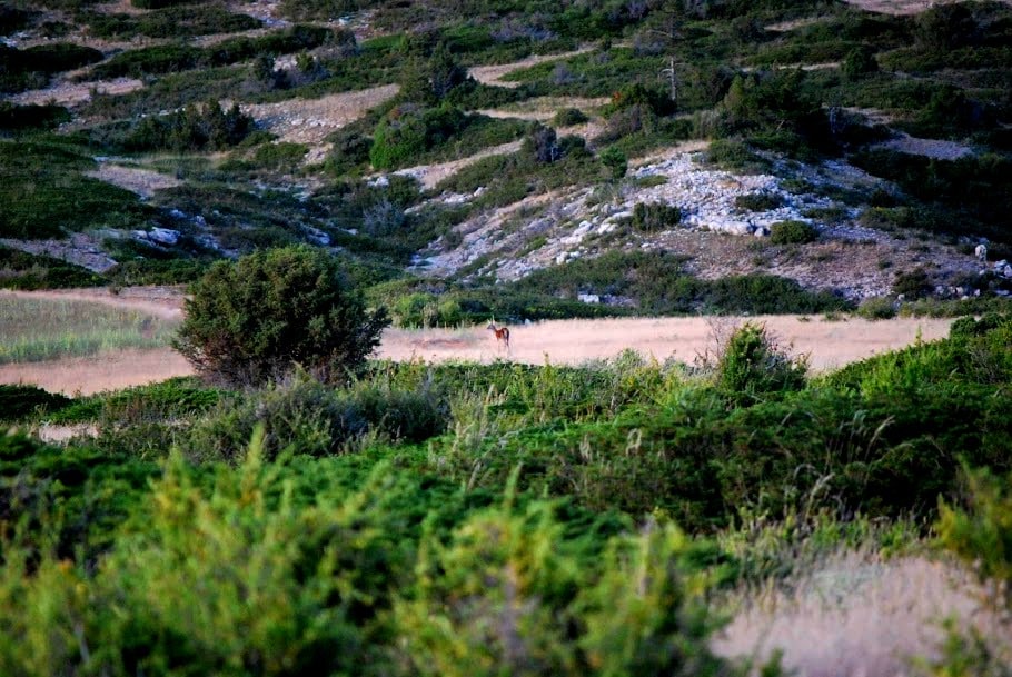
Sierra Molina, one of the wildest places of the Upper Tagus. The altitude and orography of Sierra Molina meant that all attempts at human repopulation of this area, which was once delimited by the rivers Hoce Seca, Tajo and the lands of Albarracín.
This meadow was halfway between the white lands, land that could be exploited free of charge, and the own property, land that could be exploited for a fee, as the exploitation of its pastures was free, but the obtaining of wood and charcoal required the payment of a fee that was shared equally between the Council of the Town of Molina and the Community of the Land of Molina.
Because of its large size, its location and the free pastureland it was a a site of vital importance for transhumanceThe route passes through Sierra Molina along a large number of livestock trails.
Nowadays, its surface area has been considerably reduced by the disentailment carried out in Spain during the second half of the 19th century, and the whole of it is located in the municipality of Czech. But its inaccessibility has made it possible for it to be endowed with an enviable environmental richness, with endless centenary pine forests that provide shelter to all kinds of fauna, as well as specimens of creeping juniper that give rise to what are known as leopard spots, which is why it is part of the Upper Taj Natural Parko.
As a curiosity, we can find in this inhospitable area an orthodox cross, this cross was erected in tribute to russian volunteers who fought on the National side during the Spanish Civil War. A group of them were on this hill from 1 September 1938 to 16 January 1939. The Divine Liturgy was celebrated here on 9 October 1938. The remains of the trenches occupied by the Russians can still be seen around the cross.


