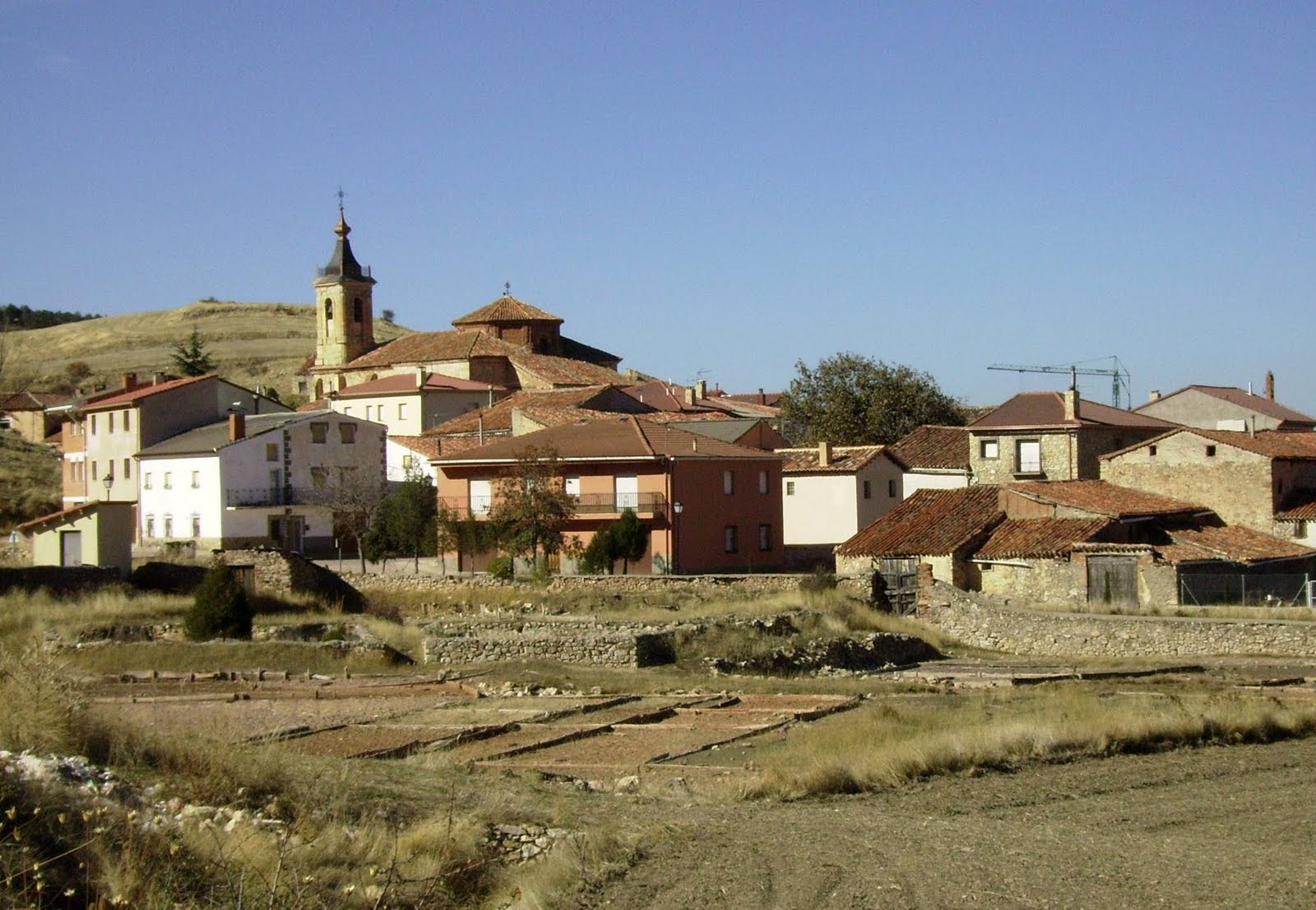
SL PNAT 9 Ruta del Barranco (Terzaga)
Almost circular route starting and finishing in Terzaga.

Terzaga ravine route
Dirección
Start and end of route in Terzaga
GPS
40.695865767818, -1.9040059565253
Circular 8,4 Km | 8,4 Km | 8,4 Km | 8,4 Km | 8,4 Km | 8,4 Km Unevenness 200 m | Duration 2,5 h | Route On foot - Bike
Local Trail 9: Ruta del Barranco (Ravine Route)
We start this local trail just in the immediate vicinity of Terzaga. Along this route we can highlight the landscape created by one of the hardiest and most resistant trees to the adverse conditions of this terrain. Above 800 metres altitude, and up to 1,600 metres, grows the Juniperus Thurifera, commonly known as the Juniperus Thurifera. sabina. These trees are up to 20 metres high and create an open forest passage that was once much sought after by shepherds and livestock breeders, as their strong wood and branches were used to build shelters for herds and shepherds.
In addition to enjoying a comfortable walk through the juniper grove, we come across an old building that corresponds to the Hermitage of the Virgen del Amorwhose carving, dating from the Romanesque period, is the bearer of the gift of preserving love according to old legends. See old farrowing troughs We will pass through forests and farmland, and countless birds and mammals inhabit the area, so it will not be difficult to enjoy the unforgettable views.
Route linear, with the possibility to circulate it. Your 8.4 kilometres and its low gradient (200m), make this route an ideal walk for the whole family. You can choose at any time The roads and paths are in perfect condition throughout the four seasons, but allow me to advise you on the best way to get to know it. springThe smells and colours that it leaves in the ravine will give you a sensation that you will never forget. Finally, as a recommendation, wear comfortable footwear, a cap and water, as the no sources along the route and if you need any further information, please consult the Natural Park.
Signposting and Start of the Route
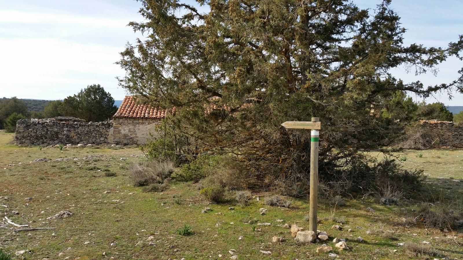
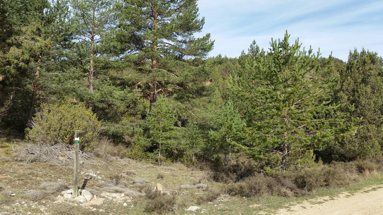
At the beginning of this route, we will find a information panel with the description and the general characteristics of the route, which is always guided by beacons coloured green and whiteIn addition, at some junctions that can be confusing, arrows have been placed so that we have clear changes of direction. For greater safety, we recommend that you download the track right here.
To start the route, we will leave from the town of Térzaga where we will park our vehicle. We go down Calle Real until we cross the Bullones River over a small bridge that takes us to the road to Térzaga, once we have crossed the road, we will climb up the forest track between fields and juniper woodland. Further on, we turn left after passing a shepherd's hut on flat ground where the path is not visible until we reach a track in better condition that leads us to the hermitage which we leave on the right and start to descend.
Once you have made the descent down the ravine of LoveAt the end of this, we go round a field on the right and immediately return to the starting point, where we will immediately see the starting point of the route on our right.
If in doubt, we recommend downloading the track The route's markers are often not sufficiently perceptible.
 5")
 6")