Tits of Viana
Natural monument near the Upper Tagus

Tits of Viana
Dirección
Viana de Mondéjar
GPS
40.661007, -2.5686285
Tits of Viana
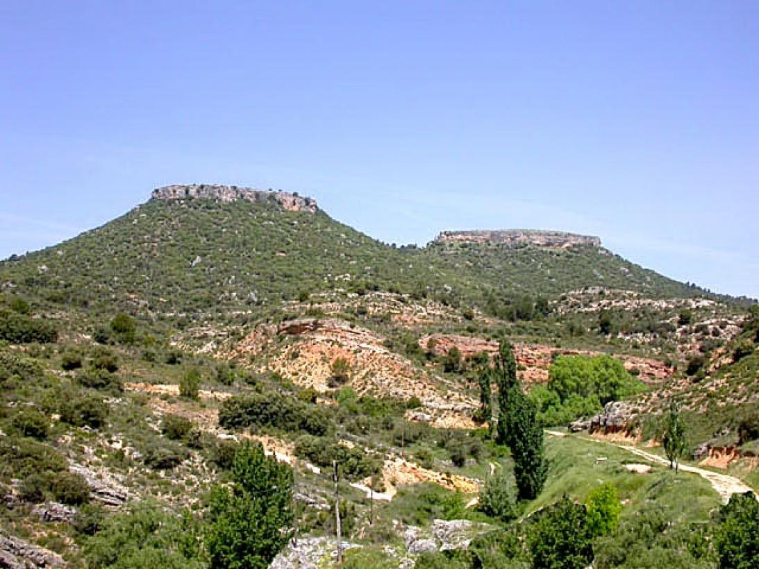
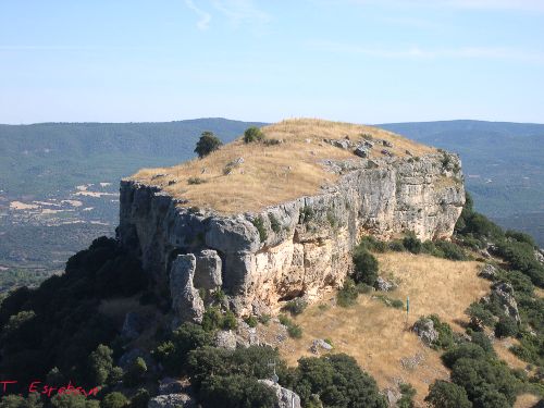
The Tits of Viana are two limestone grinding wheels eroded along several ramblas and along the Tagus and Solana rivers. They are made up of a common clayey body and two limestone peaks between 20 and 30 metres thick, which make them practically inaccessible due to the verticality of their walls. Only the southernmost one is accessible by means of an iron staircase that replaced the old stone stairs that served as access to the watchtower that stood on it.
The Tetas de Viana, peñas Alcalatenas, or peñas de Braña are two twin mountains, in the form of witness hills, they do not belong to the Alto Tajo Natural Parkbut they are located very close to each other, in The Alcarria between the towns of Trillo and Viana de Mondéjar. In December 2006, Las Tetas and its surroundings were declared a Natural Monument by the Junta de Comunidades de Castilla-La Mancha, this natural area covers an area of 115.63 hectares.
These hills have a height of 1,145 metres The highest point of the Alcarria region, its summit overlooks a landscape of great variety, in which coexist such diverse forms as the wastelandsplatforms located at a considerable height; the embedded valleyssuch as those of the Tagus and Tajuña rivers; extensive countrysideThe most important are the steep slopes of the moors, located at the bottom of the valleys, close to the watercourses; and the steep slopes of the moors, linking the high areas with the valley bottoms.
The uniqueness, representativeness and beauty of the geomorphological elements of the area confirm the importance of this site for it to be declared an Natural Monument. Moreover, these values have also motivated the inclusion of the area within the Natura 2000 Network as a Site of Community Importance (LIC) and Special Protection Area for Birds (SPA).

<<How to get there?
The easiest way to reach the top of these promontories is to start our journey from the town of Viana de MondejarFrom here, the top of the only accessible "tit" is located at 3 km. It is an easy to moderate path, as the final ascent becomes quite complicated if you don't like the steps with chains and metal ladders at great heights. However, it is not technically difficult and anyone with the will and some agility can reach the top.
Specifically, the path we are following is indicated as follows SL-2 Camino del ColladoIt takes just over 2 hours to get to this monument, although if you wish, from Trillowe also find the SL-1 with the same finish, but with a distance of 7 km, which becomes 14 km if you add the return home.


