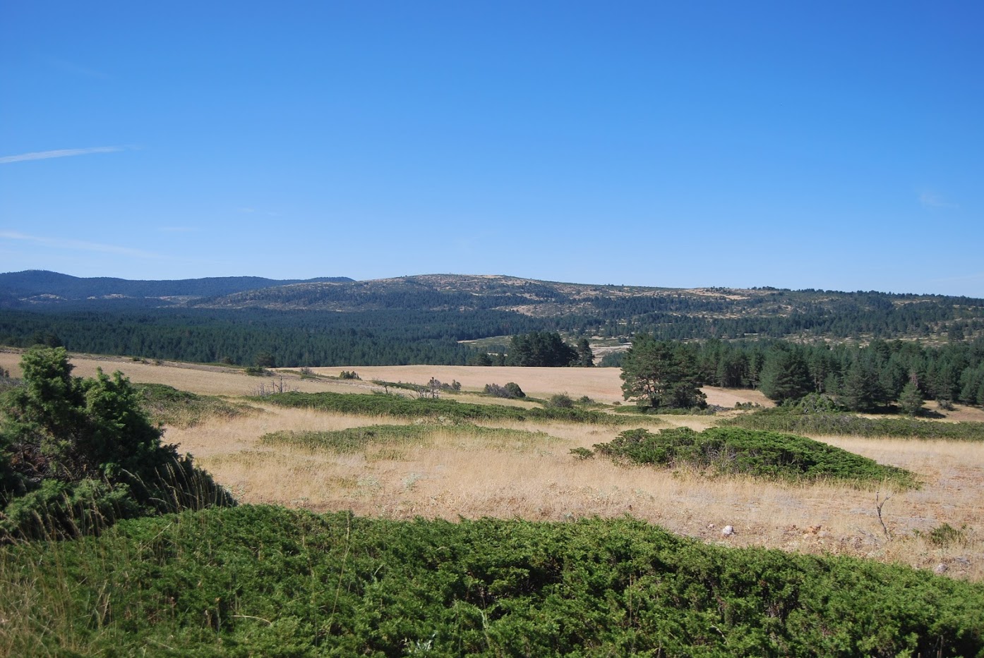
Altos de la Campana
One of the great unknowns of the Upper Tagus

Dirección
Altos de la Campana
GPS
40.525481912246, -1.8763670251017
Altos de la Campana
The bell towers are incredibly delimited on one side. by the Tagus and on the other by the Dry Sickleforming some spectacular cliffs in the area called "Las Juntas.
Its highest point is at 1746 metres and geographically it belongs to the "Sierra de Molina forming part of the former pastureland and being a prime witness of the transhumance.
These mountains belong to the municipality of CzechIf you look from above you can see the canyon of the Tagus river, which acts as a natural border and on the other side of it the Natural Monument of "La muela de Pinilla y el Puntal". already in the province of Basin.


