Hundido de Armallones
Traces of an event many years ago

Armallones Sinking
Dirección
ocentejo
GPS
40.76542116374, -2.3812016127197
Hundido de Armallones
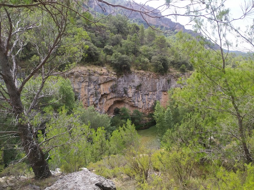
The site known as the "Hundido de Armallones" is one of the most important most spectacular enclaves in the park. The erosive power of the Tagus River is evident here, which has carved out a deep canyon with vertical walls over thousands of years, where numerous rupicolous birds nest.
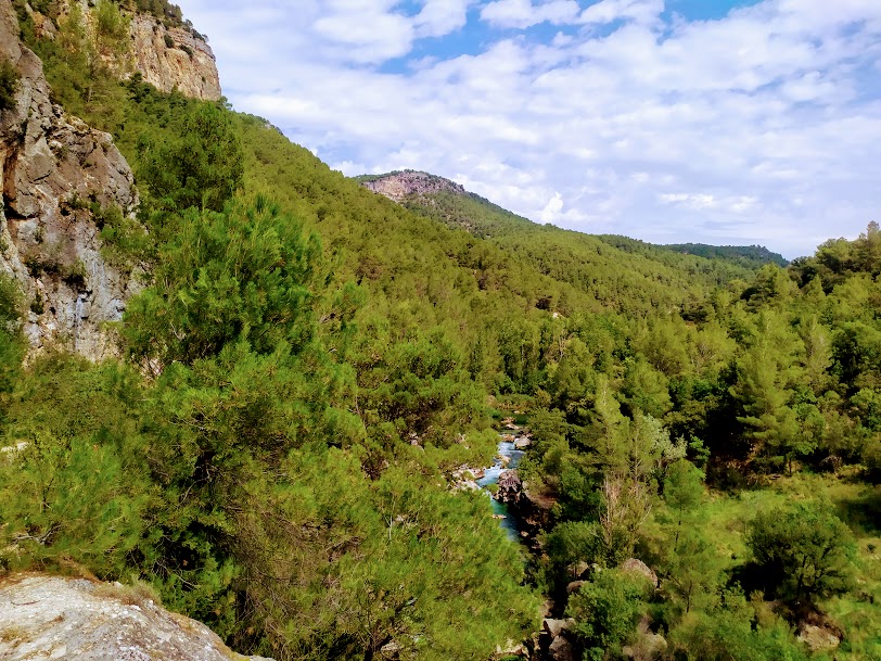
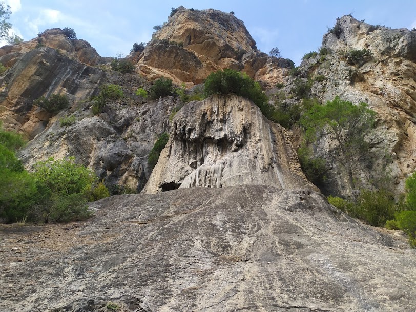
The action of the river has uncovered the geological history of the area, represented in the different strata that make up the walls, including a huge fold lying down which marks its southern end. A track gradually enters the canyon and, as you walk along it, you can first enjoy spectacular aerial views of the river and then descend to the riverbed itself.
It is named after a rockfallThe rocks fell down the slope and into the riverbed. The landslide took place in the 16th century and the blocks came to block the course of the Tagus River, located 200 metres below, at the bottom of the valley. The exact date of the landslide is not known, but the documents that the town of Ocentejo sent in 1578 to Felipe II, asking for help for the damage caused by the damming of the river, are still preserved. Today we can see the large blocks of rock on the banks of the river as, little by little, its course has been resuming its course.
In addition, in the Hundido de Armallones, there are species of flora of distribution Ibero-North African, Euro-Siberian and MediterraneanThe role of the Tagus canyon as a passageway for flora from the North, South and East, and its role as a refuge, due to the special microclimate which it enjoys for relic stocks of species of different origins, which have settled in this special enclave.
In terms of fauna, the most important community is the community of rupicolous birds of prey which find in the rocky walls of the canyon an ideal nesting habitat (Bonelli's eagle, Egyptian vulture, griffon vulture and peregrine falcon), as well as that of forest raptors (goshawk, sparrowhawk, etc.) and of small passerine birds (crossbills, chaffinch, coal tit, etc.) and, in the group of large herbivores, roe deer and red deer.
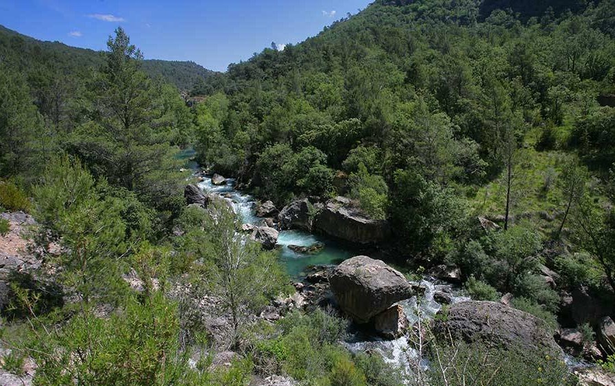
In the river section we will find good formations of gallery forests with twigs, poplars and poplar trees targetswhich provide refuge for wildlife species such as the otter, gnatcatcher, blue tit, kingfisherwater snake or the common trout.
<< How to get there?
To enjoy this spectacular spot, we must go to the village of Ocentejo and park at the entrance to it, next to the information booth there is. Next to it a poster of georuta which indicates the path to follow, which leaves the village and gradually descends towards the river. The whole route is perfectly signposted, as it is an official route of the Natural Park and Geopark.

