RE PNAT 01 Chozones de Ablanque route
3 trips to various groups of "chozones sabineros".

Dirección
Softening
GPS
40.898795072656, -2.2270021520635
Only Ida - Km | Unevenness - m | Duration - h | Route On foot - Bike
Ethnographic route 1: Los Chozones de Ablanque
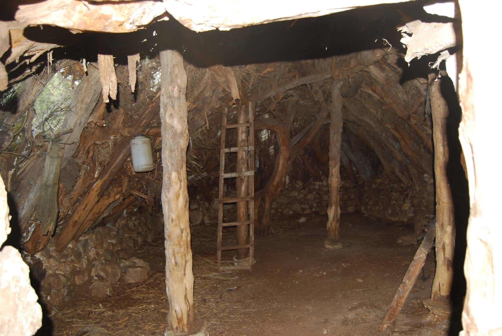
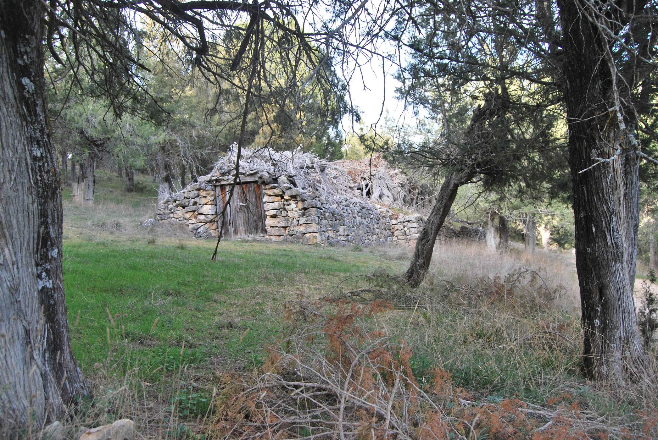
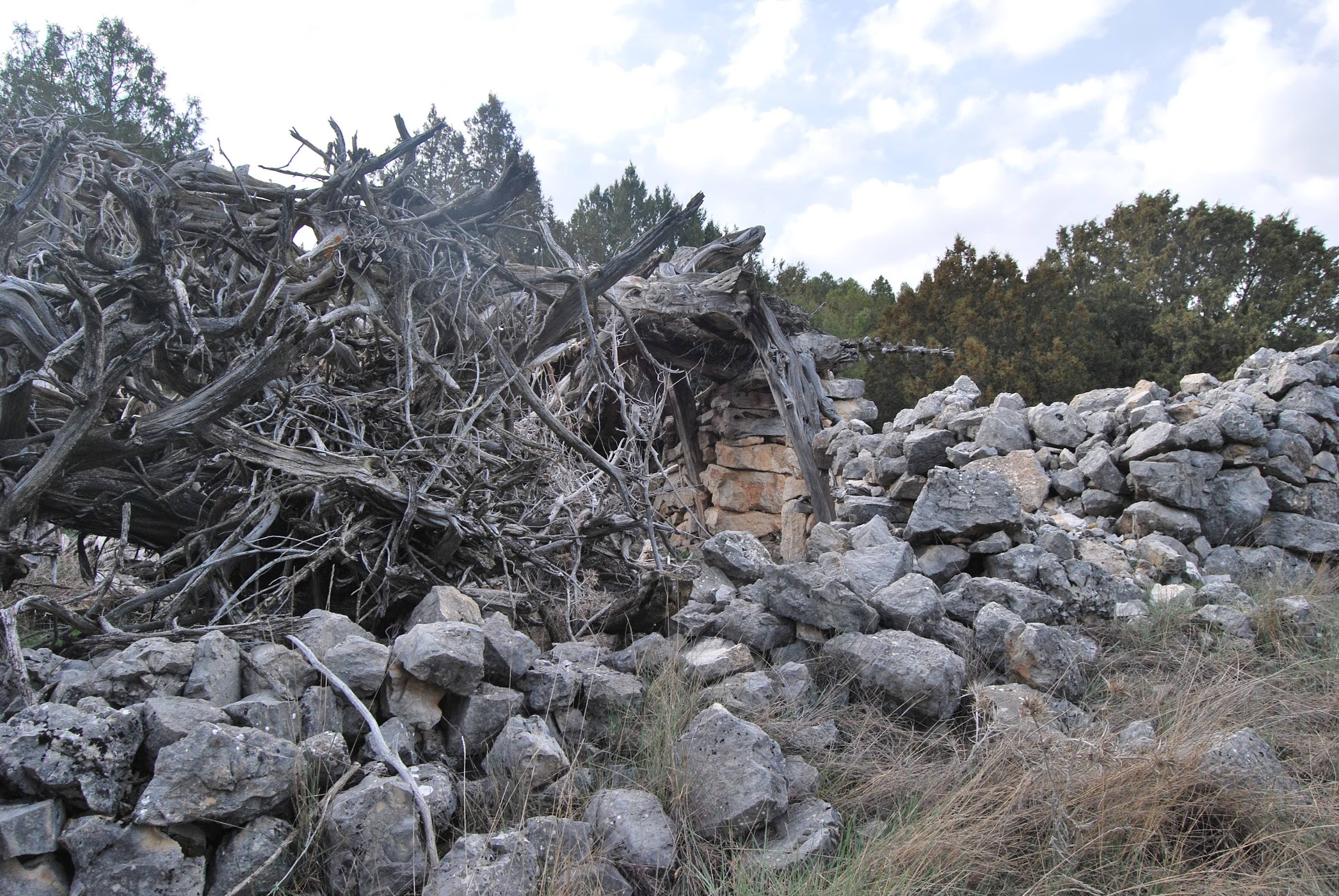
This route takes us from the huts of Softening invites us to discover these curious farrowing troughs used in antiquity that have survived to the present day. The chouzons sabineros These are constructions used for livestock farming in the Alto Tajo juniper groves. They date from the Middle AgesThe exact origin is not known due to the lack of a written record. They are usually distributed forming clusters as seasonal settlements. They were located on the moorsThe site is located in privileged places with a good defensive situation (hills and mounds), water and grazing areas nearby.
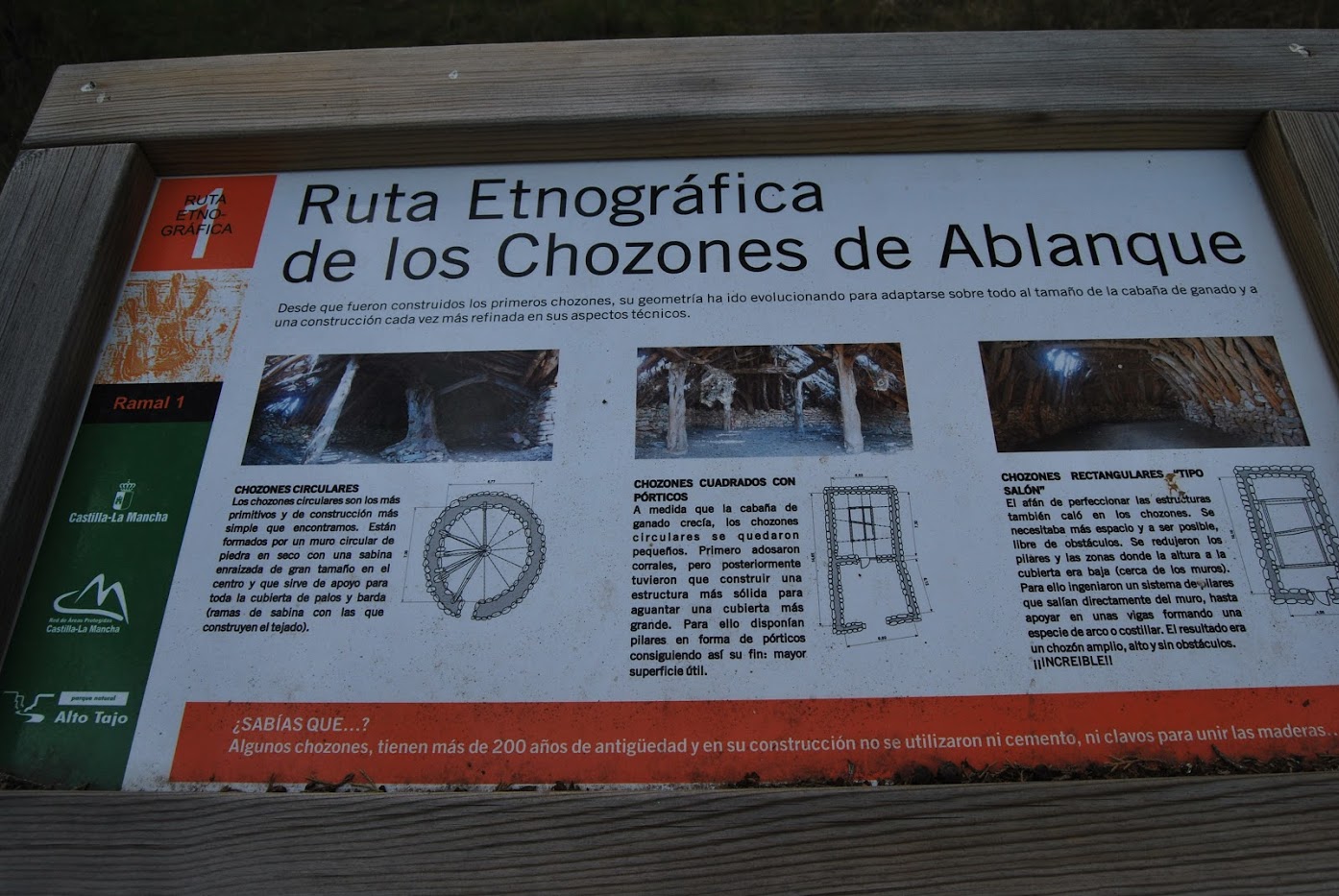
Stone limestone and juniper wood are the only materials used for their construction. There are different well-preserved examples of these huts, which were not always built in the same way, but they all used the same materials. Among the different types, we can find: circular with a central pillar; square with porticoes; or rectangular without pillars "saloon type".
First we turn to the Chozón Museum of AblanqueTo get there, look for the asphalted forest road in the direction of Buenafuente del SistalWe pass near a pretty bridge over the river Ablanquejo. As soon as we cross the river, we take a path to the right that climbs up to the "Mirador del Cerroindicated with wooden beacons, where you can visit the circular hut. restored as a museum.
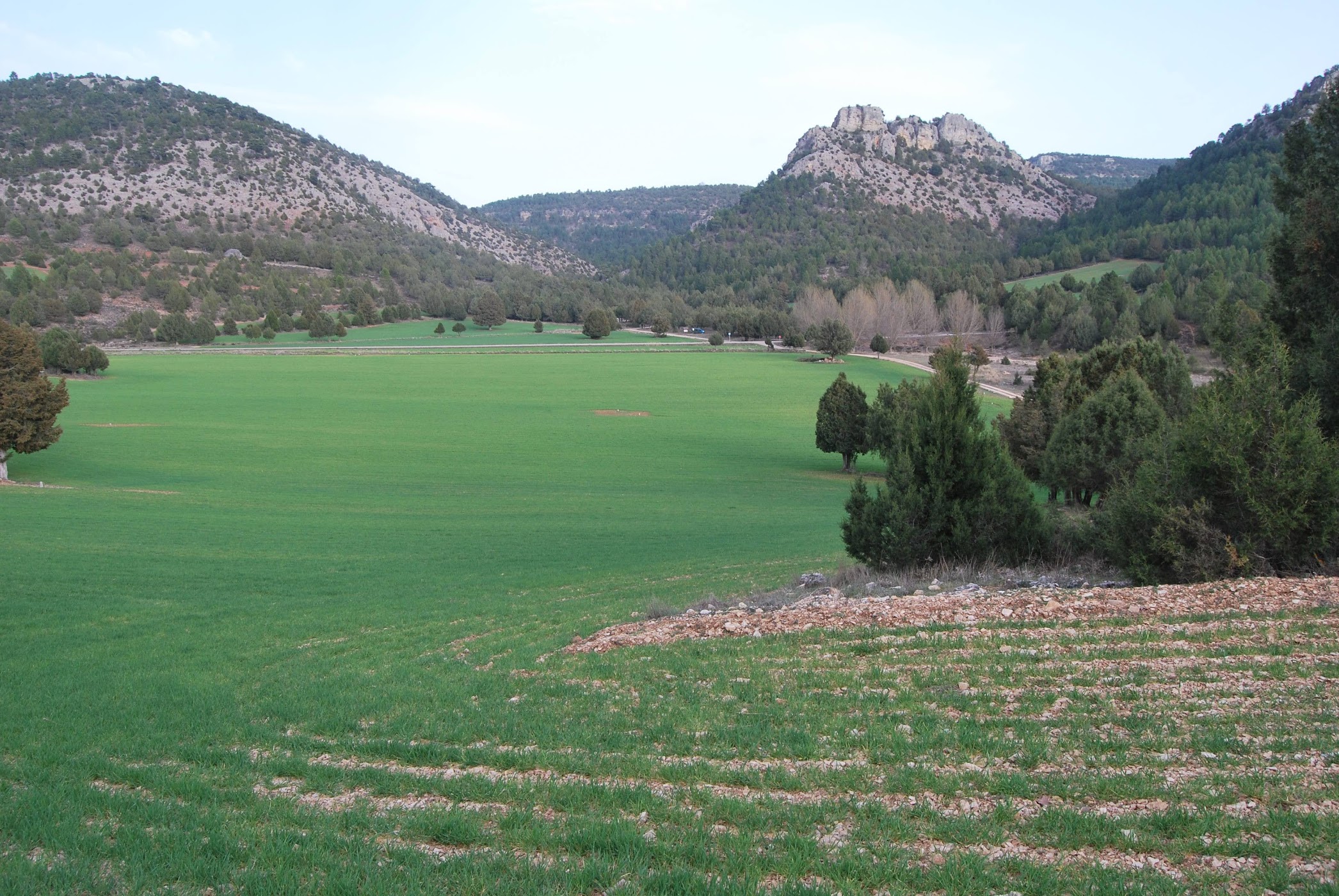
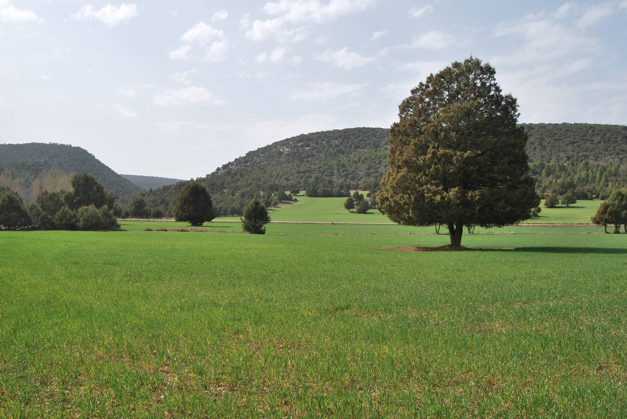
We can then follow the different branches that lead us to the three visitable groups of Ablanque. We will have to go down the hill and once at the crossroads turn right, we will continue straight on along the asphalted track towards Buenafuente del Sistal, until we reach the crossroads with the Arroyo de la Rambla where we will see the beginning of the different branches that we will explain below.
Signposting and Start of the Route
Just as the track crosses the Arroyo de la Rambla we will come across the parking area where a signpost will indicate the different branches of the route of the chozones de Ablanque, although it must be said that this last time we were there the signposting was on the ground, but even so you can't get lost and you will soon see the start from the road.
<< Section 1We will take a comfortable 970-metre walk along the west bank of the river, where we will approach the first grouping.
<< Section 2We will face a gentle climb of 540 metres in length as we ascend the eastern slope.
<< Section 3We recommend this route for the more adventurous. It is a 2-hour route with a gentle slope of 170 metres. It will take you to the top of the "Peña del escalerón".
Regardless of the visitor's physical condition, we recommend that you do at least the two shortest routes, as there are a large number of Ablanque huts, in all states of preservation, from totally in ruins to perfectly preserved and still in use, which make this route a perfect day to enjoy and learn a little more about the ancient uses present in our land.
We recommend doing the route on foot, although we can go from the base of the viewpoint of the hill to the beginning of the branches that visit the groups with our vehicle. The road up to the chozón-museum is passable for vehicles but we do not recommend it due to the state it was in on our last visit unless your vehicle is an off-road vehicle, in which case I don't think there would be any problem.
In short, this route offers us the opportunity to take a nice, short walk, suitable for the whole family, for which we recommend downloading the track here, where we can enjoy the surroundings and the ethnographic heritage of the place, getting to know some of the most characteristic constructions of the whole territory occupied by the Upper Tagus.