RG PNAT 5 La sierra
64 km route to do in 4×4 or by bike in the Sierra area.

Dirección
Home in Alcoroches
GPS
40.6259782, -1.7459725
Circular 68 Km | Unevenness 620 m | Duration 8 h | Route 4×4 - Bicycle
General Route 5: The mountains
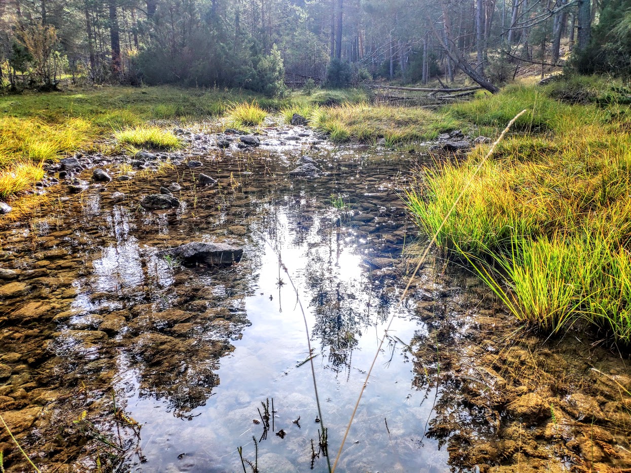
The route of La Sierra is a circular route, designed in two stages, ideal for cycling or driving through one of the largest and most solitary places in the whole province, Sierra Molina. The whole route runs along a road with its ups and downs, and it is advisable to check its condition given the altitude it passes through, although it can be said that the roads are not blessed glory, but they do not present great difficulties, so with a little care, there will be no problem.
This is a route circular from 68 kilometres that takes us into one of the most solitary and unpopulated areas of the entire country. Natura Parkl. Due to its long distance, it is designed to be done in two sections, although this will depend on the adventurer.
We will see a multitude of landscapes that have been very little transformed by humans, as well as enclaves that made human settlement possible in these areas. Creeping savin groves, moorlands, crop fields and a great ethnological, geological and faunal heritage. complete one of the longest and most solitary routes. In addition, we can complete our route with a visit to both the Sequero de Orea Interpretation Centre or the Interpretation Centre of Livestock Farming in the Upper Tagusin the town of Czech.

How to get there?
The route passes through the municipalities of Alcoroches, Czech y OreaThe route can therefore start in the town that best suits us, although, as the route is planned, it would be Orea-Puente de las tres provincias-Checa y Checa-Alcoroches-Orea.
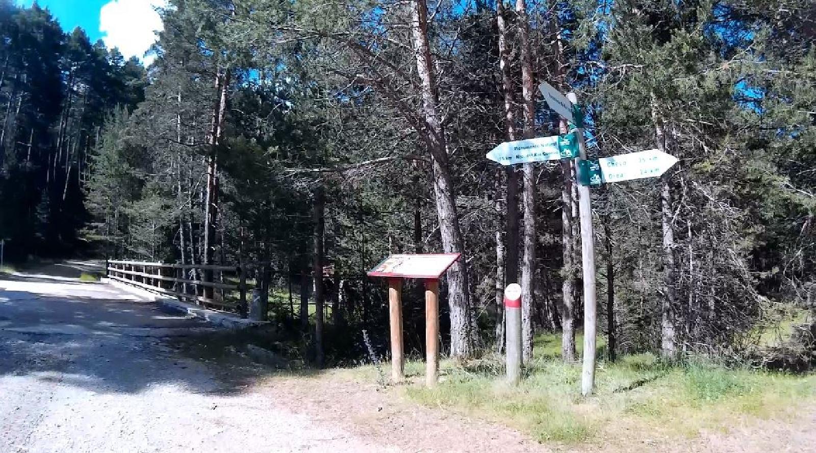
Signposting and Start of the Route
In case you want to do this route, be well informed about the state of the area. We recommend downloading the track on this page to avoid any unpleasantness and to be able to enjoy the path. At the beginning of the trail, there is a information panel and the route is marked with red colourThe length of the road makes it virtually impossible to see all the signs.
According to official information, the route is divided into two sections:
<< Section 1Section Czech–Mojon of the three provinces–Orea (54km)
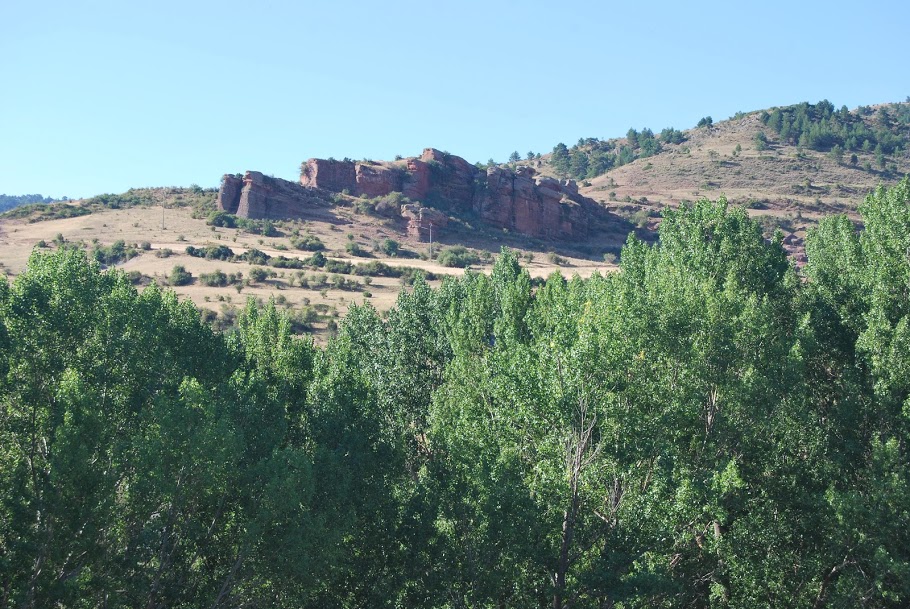
A 54-kilometre section that starts in the town of Checa and then enters this area located at an altitude of over 1,500 metres, where the landscape changes abruptly, with a predominance of harsh high mountain scenery that we had not seen before in other areas of the natural park.
We will see important enclaves with a high degree of conservation in which our presence should be imperceptible, such as the Rambla de las Sarguillas, Rambla Malilla or the river Hoz Seca itself, the essential lungs of the river Tagus.
These rugged mountains, where human presence is rare, are the ideal refuge for all kinds of animals, be they large mammals such as roe deer, deer or wild boar, or birds of prey and forest birds that find in the forests and rocky walls of La Sierra the home and food they need.
<< Section 2Section Orea–Alcoroches–Czech Republic (14km)
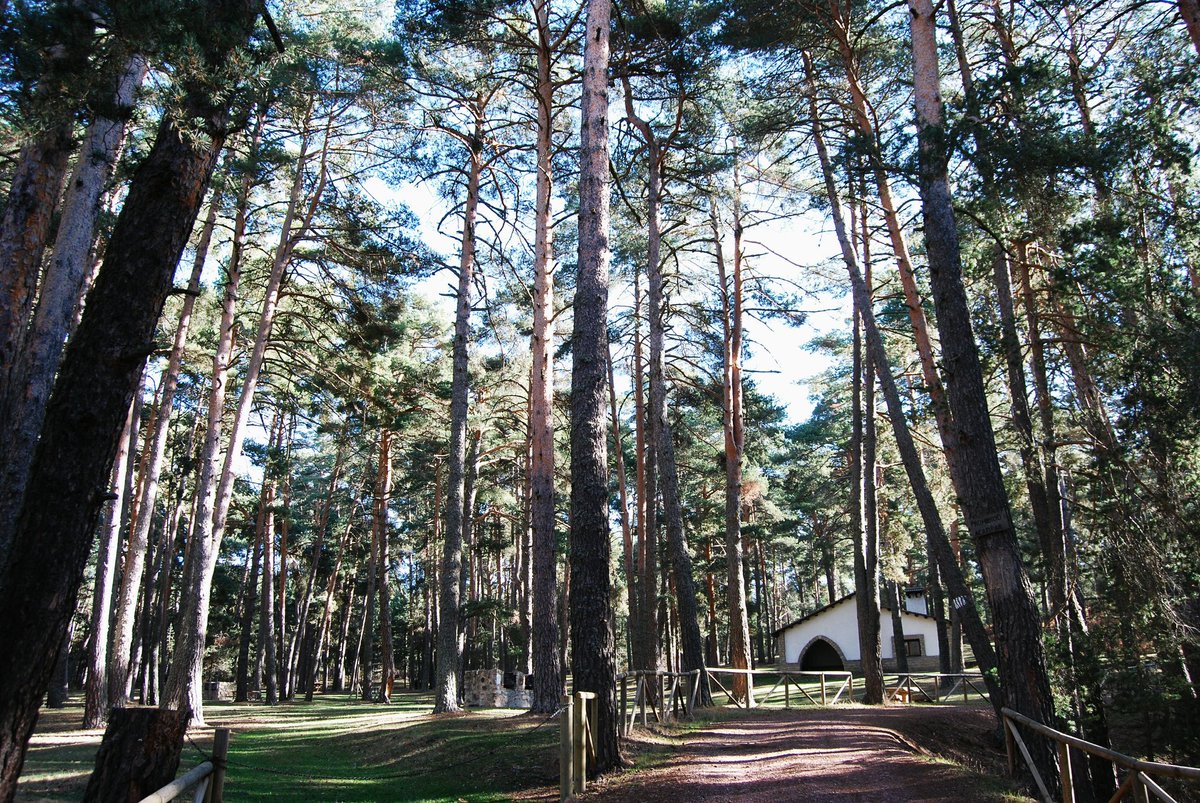
The second section starts in Orea, in the direction of neighbouring Alcoroches, and finally ends back in Checa, the starting point of our first section. The landscape of this second section is totally different to what we have seen in Sierra Molina. Its forests are still impressive, dense, mature and well preserved, and are dotted with a multitude of pastures where cattle abound, especially in the warmer seasons.
This area, which is also elevated, holds one of the treasures that fascinates all nature lovers, since with the right climate these mountains become an orchard of mushrooms that delight both local and foreign collectors.
In short, this is a long but complete route, which shows us one of the most solitary corners of the Alto Tajo, La Sierra, where nature and the beings that compose it embrace absolutely everything.
This route is currently included in the official cycling trails of the Upper Tagus, with the number 4.

