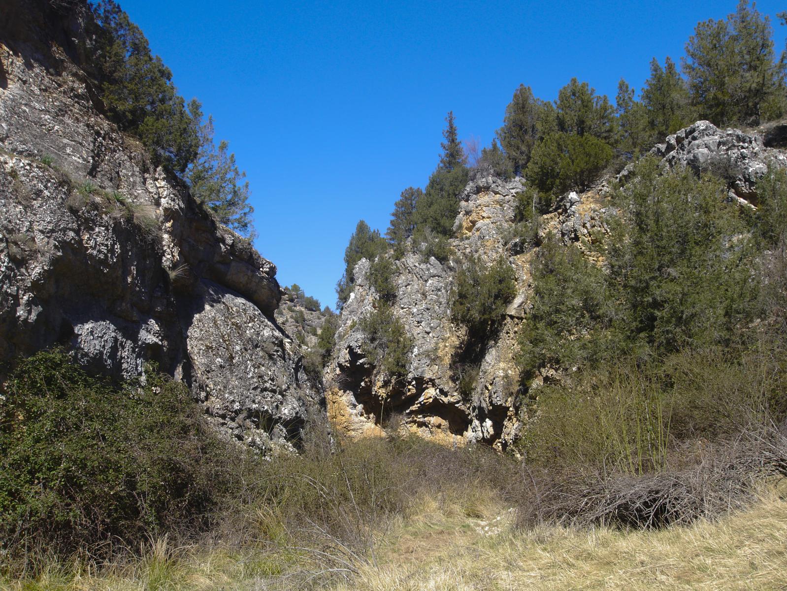
Route from Escalera to the Barranco del Río Bullones ravine
14 km circular through the beautiful gorge of the Bullones river

Route along the Bullones River
Dirección
Start in Escalera or Fuembellida
GPS
40.770308422409, -2.0271757654132
Circular 13.8 km Unevenness 400 m | Duration 4 h | Route On foot
Route from Escalera to the Barranco del Río Bullones ravine
This route starts in the town of Staircaseand during 14 kmwe will draw a circular around this locality, the ravine formed by the river Bullones, Fuenbellida and a grouping of chouzons sabinerosso typical in this area. It has a moderate as we will face several steep slopes that will exceed 400 metres accumulated, and it is only suitable for hikers.
Once in Escalera, we leave our car and we take the track leading out behind the churchWe continued along it until we came across a troughIt is here that we will enter the ravine of the "chorrera" until we descend surrounded by impressive rocky walls to the (generally dry) river bed of the Bullones RiverIt is here that we leave the track we came along to start walking along the riverbed itself.
We will continue for approximately 2 kilometres downstream, trying to trace our own path, which is not very well marked, until we gradually see how the ravine widens and the remains of ancient shepherds' pens. Once past these, we come to a large clearing and a path to our right, which we take to continue our route to the village of Fuenbellida, crossing a steadily ascending area of old orchards, most of which are now in disuse.
Once in Fuembellida, take the asphalted track on the right to reach Escalera, 3.5 kilometres away. Halfway along this track, you have the option of going to see one of the ethnological routes of the park that a group of chouzons sabineros. This detour will take us 3 kilometres round trip, so if we are tired we can shorten the route to approximately 11 kilometres.
After a short walk exploring the group of huts, you must retrace your steps back to the tarmac track, and in less than half an hour you will arrive at Escalera, where you started the route.
Signposting and Start of the Route
This route is not signposted and has no starting point, so if you are interested in doing the route from Escalera through the ravine of the river Bullones, we recommend that you download the track right here, it is essential.
Note:
This route is located in a natural area of incalculable value, which has several titles of protection, such as Red Natura 2000 or Natural Park, among others. In these areas, the use of motor vehicles, whether motorbikes or quads, is prohibited, so this and all the routes on this website, can only be done by bicycle or walking.
With this we would like to advise the intrepid who increasingly access controlled natural spaces as if it were their own backyard, to leave their vehicles in localities or car parks, and to enjoy our precious environment in the best and only way that allows us to appreciate every single detail, while minimising our impact on it, and it can only be one, by walking!
