Ablanquejo River Ravine Route
9 km with a moderate gradient in a breathtaking area.
Dirección
Home in Canales del Ducado
GPS
40.809715486429, -2.3590067338791
Only Ida 9 Km | 9 Km | 9 Km | 9 Km | 9 Km | 9 Km | 9 Km | 9 Km | 9 Km Unevenness 223 m | Duration 3 h | Route On foot
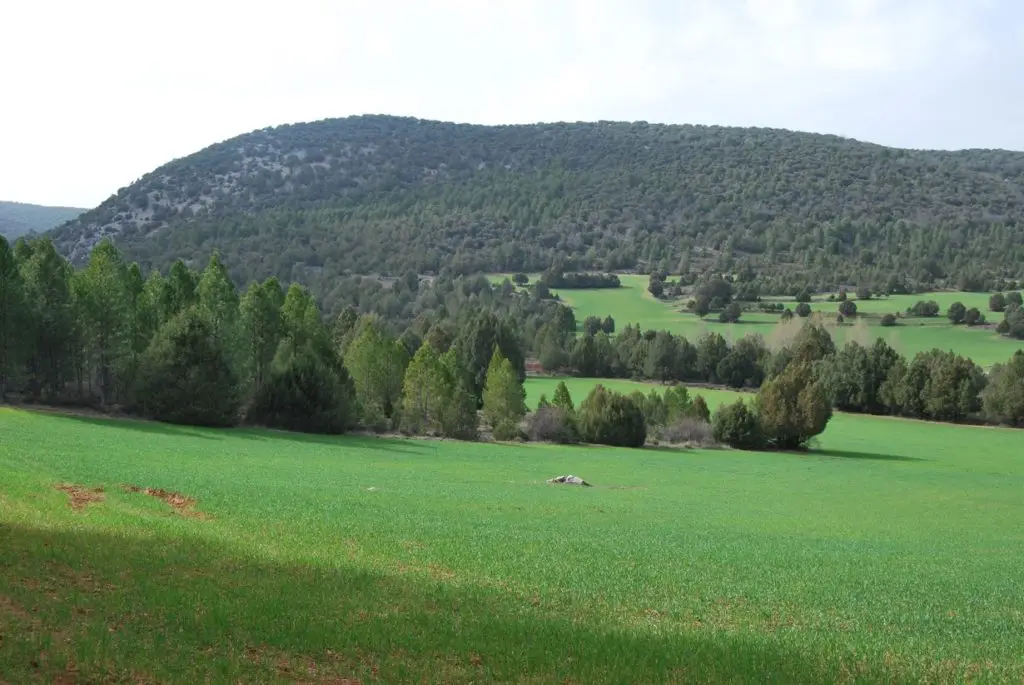
Ablanquejo river ravine route
On this route we will start from the town of Softening to get into the ravine of the river Ablanquejo until it meets the Arroyo de la Rambla, which we will cross for a few hundred metres to end up ascending to La Loma del Cerro, through which we will return to the starting point.
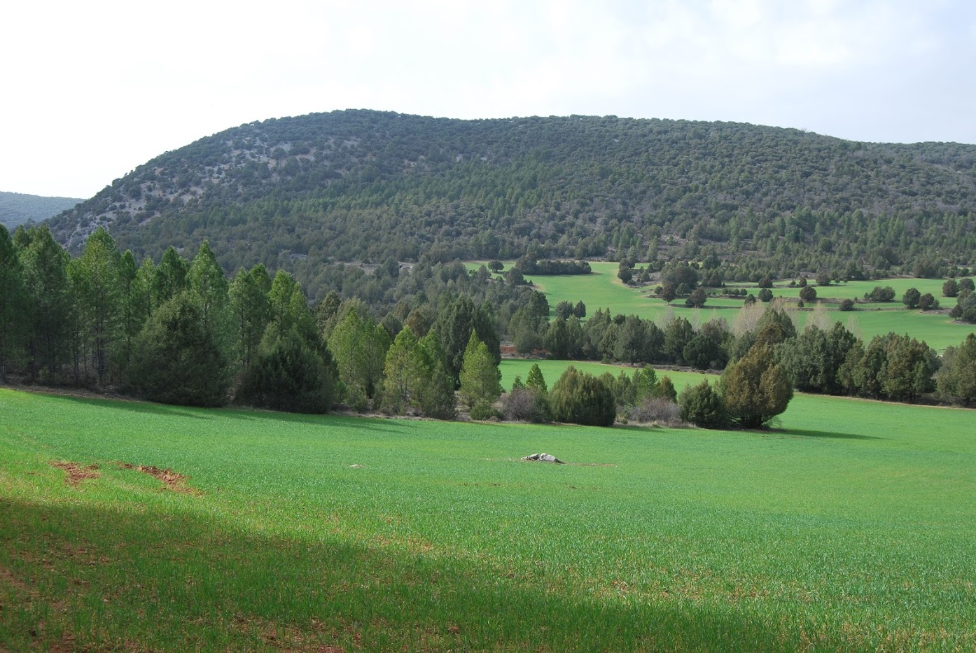
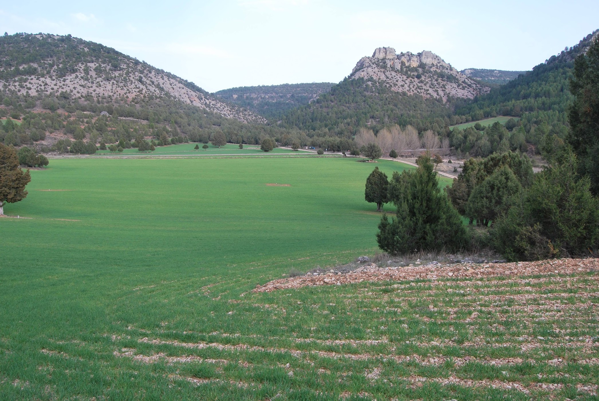
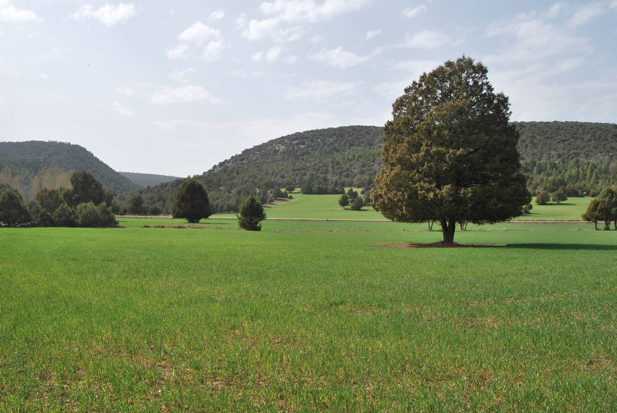
It is an easy route, although with some slope. circular and has a length of 9 kilometres, is a good way to get to know this area of the park of impressive juniper groves and green fields, which give the traveller a sense of peace and serenity.
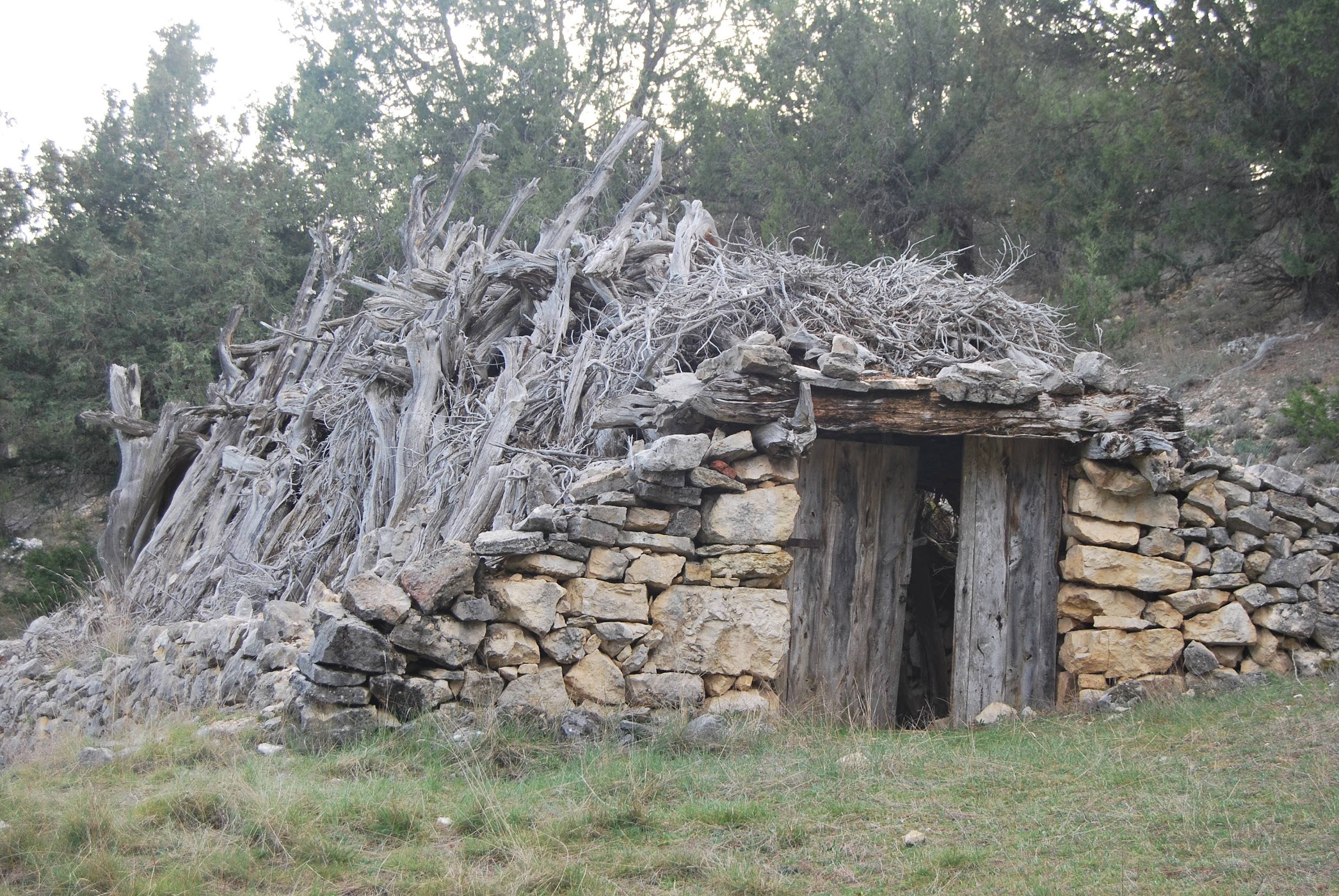
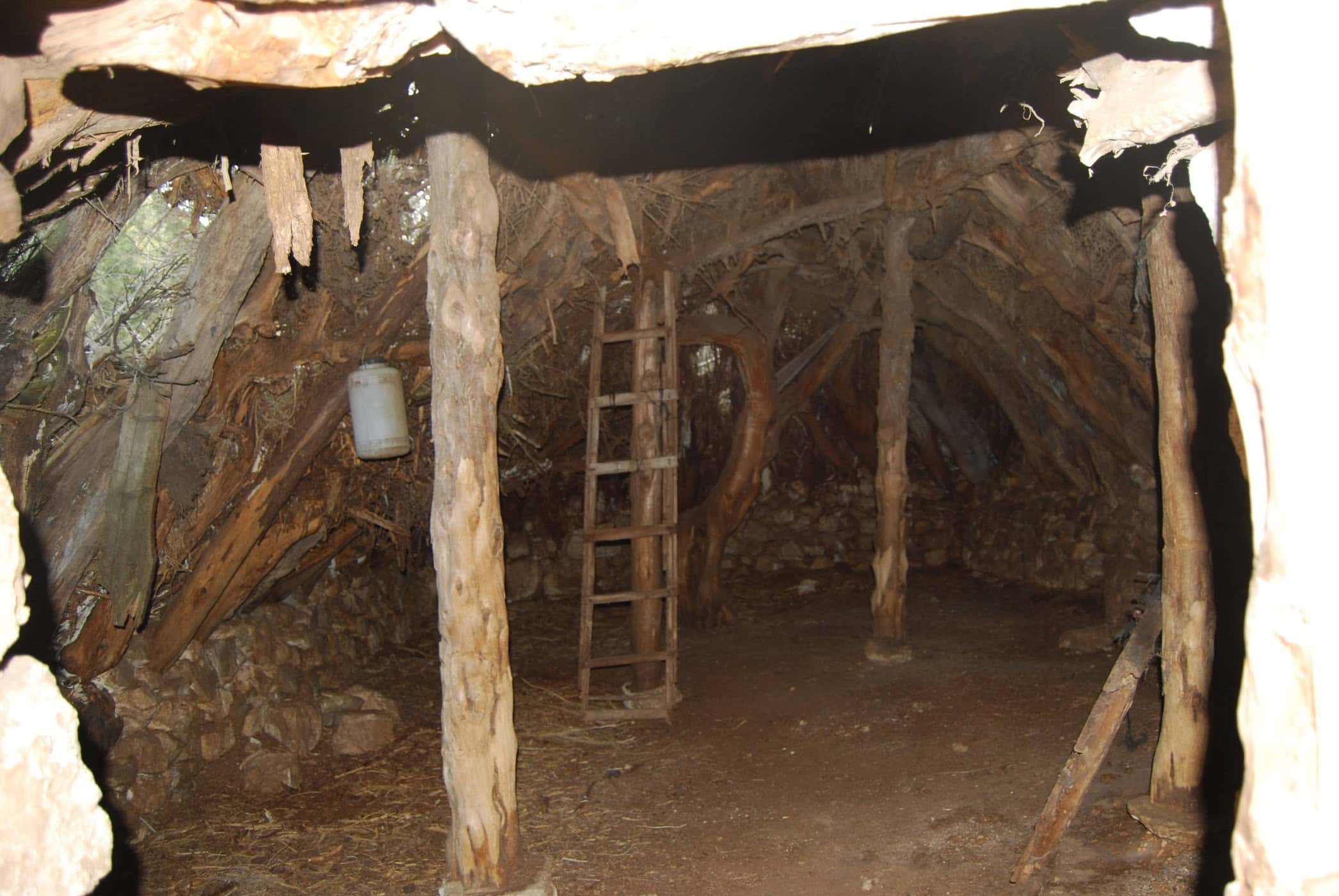
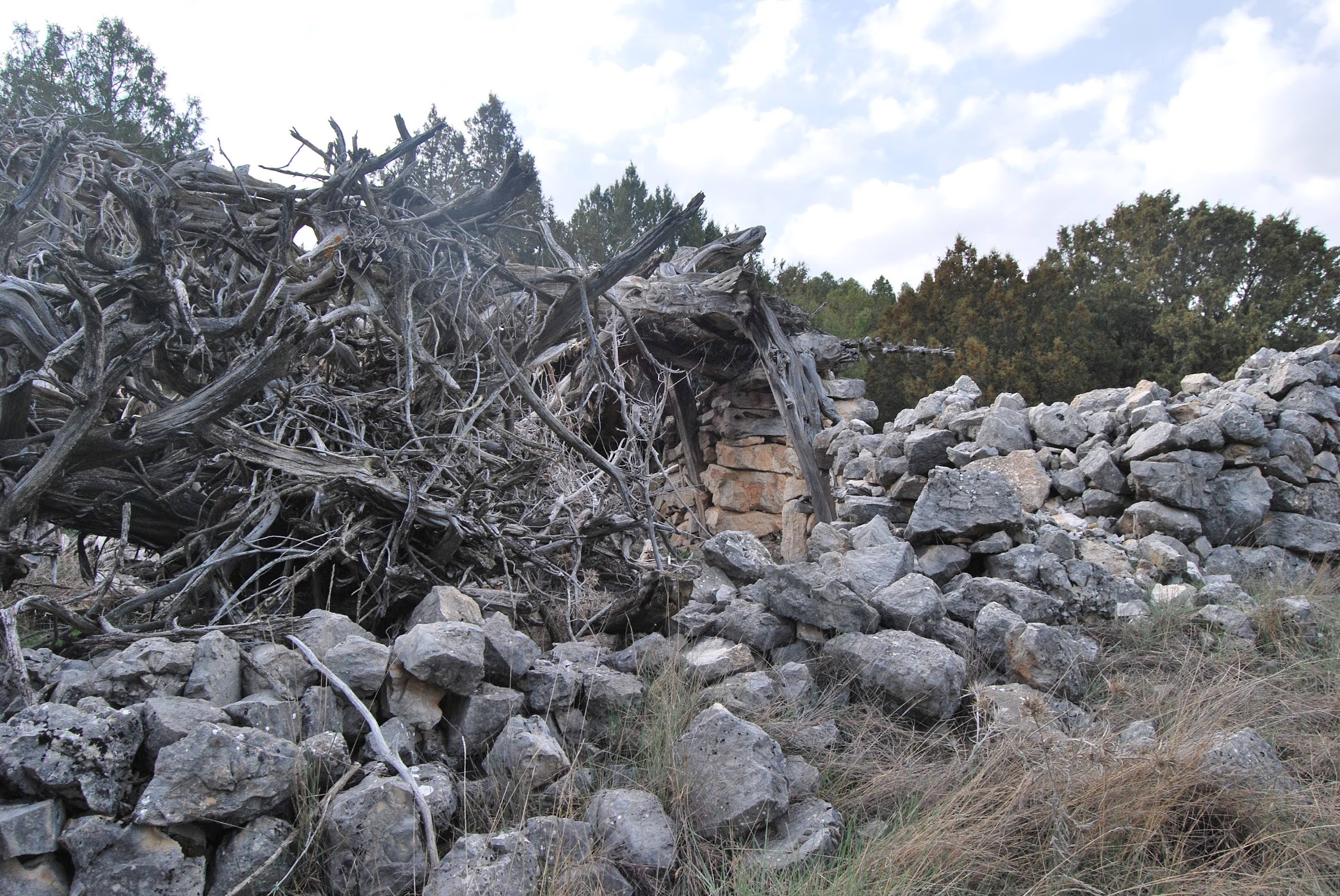
We will leave Softening along the asphalted track that leads us towards Buenafuente del Sistal, Once we cross the Ablanquejo over a small bridge, on the right hand side we will see the turning we should take. To start the route, we have taken the path on the right, the one that borders the Cabezuela del CerroThe building is located on an elevation of land that serves as a lookout point and where the Chozón-Museum of Ablanque, although we will see this on our return.
We will soon see that we are walking parallel to the riverWe will follow its course as its waters do, we will go like this until we see that our path gradually turns to the left, while the river gradually moves away to our right, it is then that we will come across the riverbed (probably dry) of the Arroyo de la Rambla.
We walk along the stream itself or parallel to it until the path crosses to the other side of the crossing, when we are once again at the foot of the Loma del Cerro, this time on the opposite side. A few metres after crossing and leaving the Arroyo de la Rambla behind, is when we begin the ascent and therefore the return part of the route.
Here our path gets lost, so we make a somewhat intuitive ascent, passing through several buildings of old huts today abandoned as we gain height and ascend to reach the highest point of the hill. Once at the top we head towards the opposite end of the hill from where we are now, crossing it completely at its highest point.
The path up here is no longer steep, it is much flatter with some downhill sections. The most noticeable downhill stretch is found once we are approaching the Mirador del CerroFrom here we can go to the right, visit the Chozón-Museum and return to this point, or go directly to the left, descending to the same point where we started our path at the foot of the Loma del Cerro.
During the Ablanquejo river ravine route, it is easy to spot deer and fallow deer, and we can observe all kinds of forest birds such as chaffinches, greenfinches, greenfinches, blue tits, coal tits, woodpeckers, razorbills, etc. If we are lucky, from the viewpoints we can see golden eagles, peregrine falcons, Egyptian vultures, red rock thrushes, rock thrushes, red-billed choughs and jackdaws.
It is a beautiful and comfortable route that does not require any special features, although we must not forget that along the route there is no place to get water, so we must be equipped with it, especially in very hot weather.
<< How to get there?
We arrived at Ablanque where we parked the vehicle next to the bus stop in the village. Once here we went down the street Camino Batán until we came across the asphalted track of Buenafuente del Sistal, which we followed until we crossed the river and started our path next to the indications of the ascent to the viewpoint of the hill.
Signposting and Start of the Route
This route of the Barranco del río Ablanquejo has no signposting, and the paths can sometimes not be very noticeable, so if you are interested in doing it, download the track below to complete the route without any problems.

