SL PNAT 5 Puntal de la Cabeza (Lebrancón)
A circular footpath along the head of the Lebrancón strut

Dirección
Start and end Lebrancon
GPS
40.78611257152, -2.0448423129141
Circular 7.9 km Unevenness 400 m | Duration 3 h | Route On foot
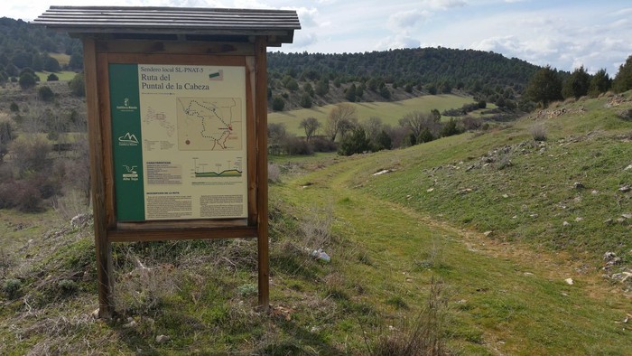
Local Trail 5: Puntal de la Cabeza
This route starts from the village of Lebrancon is circular and has a distance of 8 kilometresthe unevenness cumulative total exceeds 400 metres but it's a comfortable route that runs through trails and paths that do not present difficulties.
Along this route you will come across a large number of landscapes. It has interpretative panels on the morphology and the flora and fauna of the area, so you will surely go home having learnt something more about these enclaves of singular beauty.
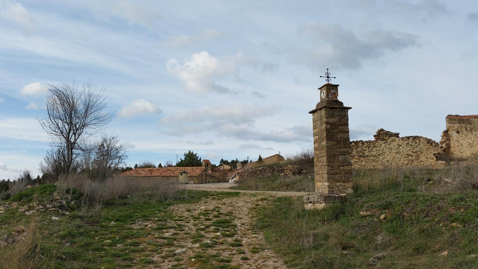
We walk through mixed pine and juniper forests and come across civil and religious constructions that in the past had more use and spectators than today, for example, the hutches sabinerosWe can also see the old cattle troughs made from the wood of the tree that gives them their name. Finally, we will highlight the number of animals that populate these mountains, which we will notice by the countless droppings that will accompany us along the way, so if we are lucky, some animal will surprise us.

Signposting and Start of the Route
The signposting of the route is the same as that of the park's approved routes, and it has a poster news at its beginning and is marked with white and green markings The route is not difficult at all. In any case, here is the download of the track of the route in order to make it without complications.
For more information, you can consult the official website of Castilla-La Mancha.
 5")
 6")