SL PNAT 6 Rambla del Avellano (Arbeteta)
One of our favourite routes in the entire Alto Tajo region
 4")
Dirección
Start and finish in Arbeteta
GPS
40.668363826424, -2.4027897352821
Circular 12 Km | 12 Km | 12 Km | 12 Km | 12 Km | 12 Km | 12 Km | 12 Km | 12 Km Unevenness 400 m | Duration 4 h | Route On foot
Local Trail 6: Rambla del Avellano (Hazel Wadi)
The route of the Rambla del Avellanoor "the Eyes of Arbeteta"It has a circular from 12 kilometres in length and has a unevenness accumulated from about 400 metresIt is a walk that can be done at any time of the year and for the whole family, including our children. pets that they are sure to find places to hydrate themselves.
We walk along paths that cross farmland, and later, at the top, we enter a mixed forest made up of laricio pine, holm oaks or holm oaks and junipers, most of which accompany us in solemn solitude and tranquillity. Further on, we will pass by the "gamellones de la carrera" fountains, watering troughs that denote the history of livestock farming in the area.
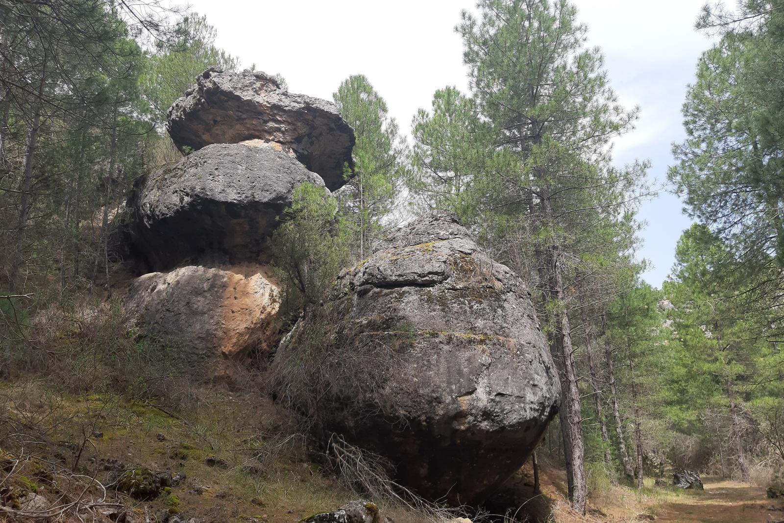
We will cross a stone arch that shows the vagaries of erosion, we will encounter the eyes of the river ArbetetaThis is the spring from which the water that gives the river its name flows, although we can only see it during periods of heavy rainfall, as in dry periods, the water seeps away and does not reach the surface.
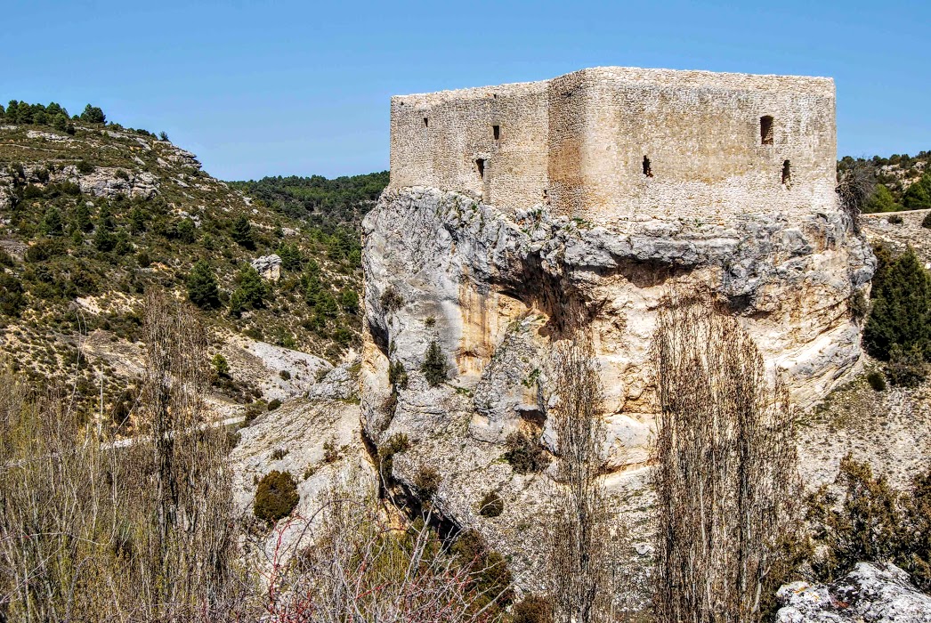
Continuing along the Rambla del Avellano, we will descend through a pine forest until we go up again slightly to visit the castle and the village of Arbeteta, where this route ends. We will have visited a landscape of great interest, full of capricious shapes, areas of humid shade and scorching sunshine, appearances or not of the water that we long for and the flight of countless birds of prey that will have haunted us throughout the day, without doubt an essential walk.

Signposting and Start of the Route
This route, currently the number 3 of the official footpaths of the Upper Tagus, it starts at the Los Caños recreational areain the village of ArbetetaThe latter runs along ancient paths that penetrate the wooded slopes of the Cerro de los Conejeros hill and crosses the boundaries of the Sierra de la Umbría.
We start in the poster located at the exit of the village where the general characteristics of the route are explained to us, we continue always looking for the beacons marked by green and whiteWe cross a small stream that we rarely see with water, and make a stop at the source that we met as soon as we crossed.
<< We continue walking along the track that goes up the hill until we come to a viewpoint crowned by a sign where we are shown the characteristics of the Escaramujos ravinewhich will be to our left. From here we continue ascending as we enter a dense mixed pine forest, a refuge for many animals such as foxes, wild boar and roe deer. We continue ascending until we reach an old building at the top of the hill that indicates us to turn left, from this point we begin the descent along the Rambla del Avellano.
From here we will continue descending along the track that runs along the interior of the wadi while we observe the laborious work of the waters in this environment. Both the wadi itself and the rocky landscape that surrounds us have been victims of erosion and multiple rocky outcrops and the famous "stone arch" provide us with beautiful postcards to remember.
In times of abundant water, at the confluence of the watercourse we can see the ".Eyes of Arbeteta"This is the source of the water that gives its name to the river, water that must be abundant, as we are in a limestone landscape, where most of the time it does not leave the underground galleries.
The river Arbeteta is one of the longest tributaries of the river Tagus, however it is difficult to determine its water supply, as a large part of its course is dry due to the fact that the water filters through the limestone to an impermeable underground layer, through which it flows into the course of the Tagus. Only on rare occasions does the river Arbeteta have surface water.
<< All that is left to do is to continue along the rambla until we find the track that will take us back to the starting point, where we can enjoy the visit to its CastleThe town is one of the most beautiful gorges in the world, with narrow alleys between crags and thunderstorms, beautiful specimens of holm oak and gall oak and a small enchanted town that will delight walkers, proclaiming itself as another of the favourites of the whole of Europe. Upper Taj Natural Parko.
 5")
 6")