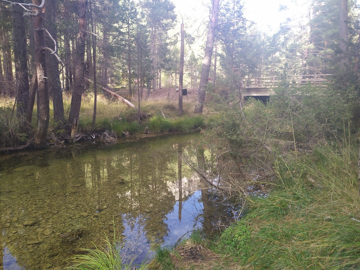
Bridge of the 3 provinces
Small bridge at the beginning of the Tagus River

Dirección
Bridge of the 3 provinces
GPS
40.39809377998, -1.805115843894
Bridge of the 3 provinces
The Bridge of the 3 provinces also known as "Valdeminguete Bridge"This is the first bridge over the almost newborn Tagus, at a very short distance from its first sources, as we enter the Natural Park from the province of Teruel. This is where the natural border between the provinces of Guadalajara, Basin y TeruélHence its curious name, as it is shared by all three.
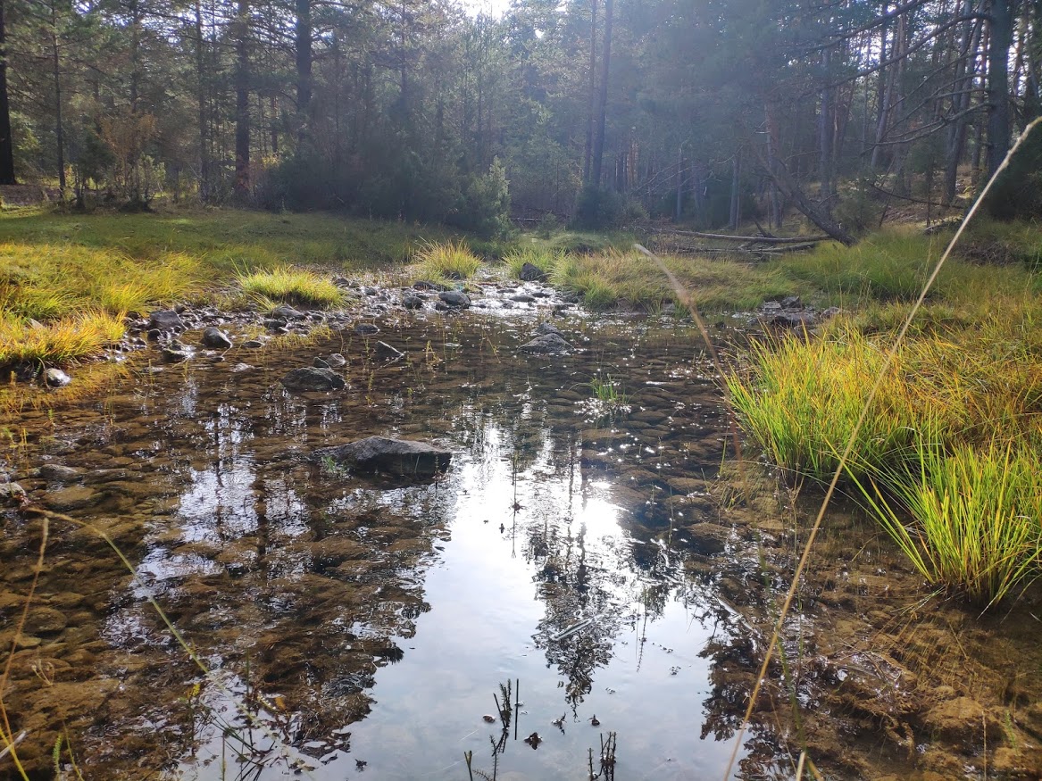
The river up to this point, depending on how rainy or dry the year has been, may carry little water or even dry out although it actually continues to flow underground, but it is worth noting that the Valdeminguete Bridge would be the first place where we can be sure that the Tagus (for the locals, still Tajillo until it reaches the junction with the Hoz Seca) carries water permanently.
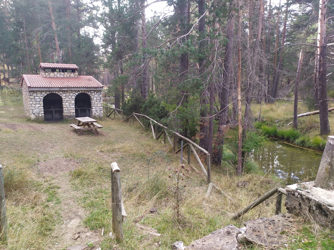
We can affirm that in a rather dry summer, as it has been this past one, under the bridge, the Tagus River continues to flow, creating an ideal recreational area for lovers of the river. purest and most solitary nature. Here, next to the riverbed, on the Cuenca side of the river, we find a small picnic area well protected and where we can perfectly take a break on our way.
It must be said that we will find ourselves in one of the most important places in the world. cared for and better preserved The surrounding countryside is surprisingly natural, as any town is more than 20 kilometres away from this point. wild.
Its fresh waters all year round are home to a multitude of trout that we can observe swimming freely from the top of the bridge. In its forests we will find a multitude of wild animals that seek to approach the river to make a stop on their way and refresh themselves in its waters. The rocky outcrops that we find on the Turlense side of the river are home to a large quantity of birds and birds of prey such as the griffon vulture, which at dusk we will see alighting above our heads.
From here, several trails start and pass through the area, such as the Veguillas de Tajo or part of the Nature Trail which runs along the river from beginning to end. The bridge of the three provinces is a key part of the whole Natural Park. We invite you to discover this little paradise in any way you like. If you need more information, do not hesitate to ask us.
<< How to get there?
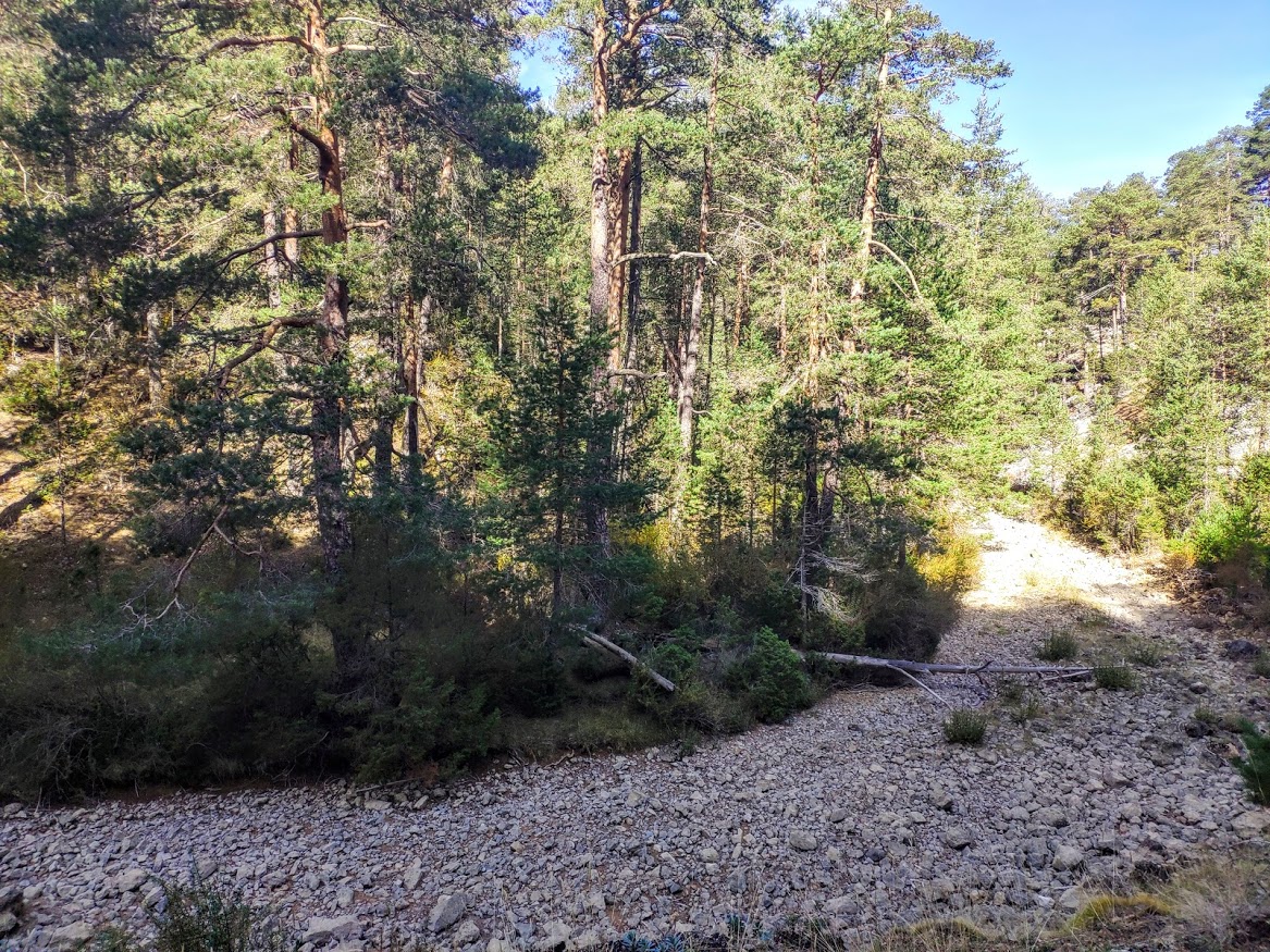
We can reach the bridge in many different ways, specifically, each of the three provinces that converge here have their respective roads. In the case of a conventional vehicle, the most advisable access is to take the TE-V-9113, which is located a few kilometres from the bridge itself. Source of the River Tagusin the province of Teruel. A forest shelter at a road junction We will only have to continue a few more kilometres until we reach a wide, well-signposted crossroads where we will take our track (TE-V-9113) until we reach the bridge without any problems.
From the province of Guadalajarawe will be able to access from the towns of Orea y Czechwhich would involve 25 and 32 kilometres of road This is not one of the worst paths, but it is advisable to find out about it before setting out on it. Moreover, as we have already mentioned, the Veguillas de Tajostarts here and ends very close to the towns of Peralejos de las Truchas y Tragacete.
Basin also has its access to this spot, but it is also by road, a road that we will take at the top of the port of Cubillowhich will take us through the Fuente la Zorra ravine and Cañada del Cubillo ravine to a crossroads a few metres before we can see our bridge on the right. This is, without doubt, the worst access for vehicles and is reserved for off-road vehicles and 4×4 vehicles as well as cyclists and hikers.

