RG PNAT 7 Veguillas del Tajo
22 linear km along the wild Veguillas of the Tagus river

Veguillas Del Tajo
Dirección
Start on the Vega del Codorno road
GPS
40.476616885352, -1.9210394806586
Only Ida 22 Km | Unevenness - m | Duration - h | Route On foot - Bike
General Route 7: Veguillas del Tajo
The proposed itinerary is of the following type linear from 22 kilometres in length, one way It is therefore recommended to cycle tourists or hikers who can leave a vehicle at the end of the route.
The trail passes through the province of Basinvery close to the Source of the Cuervo RiverOn the other side of the river, on the other bank of the river, there is the Sierra Molinaalready in the province of Guadalajara.
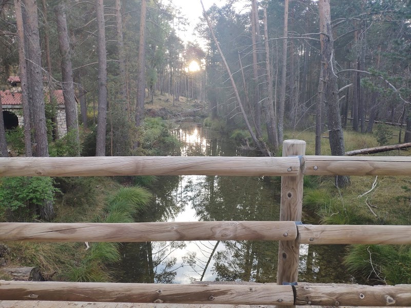
The route takes us through impressive pine forests with an abundance of holly trees and, to a lesser extent, yew trees, which indicates the climate of this corner of the Upper Tagus. From here we can contemplate the valley carved out by a still newborn and almost extinct river. Tagus.
As for the fauna that we have seen along the route, we have to highlight as the protagonists the forest birds and rupicolous birds such as golden eagles, vultures, ravens and peregrine falcons. If we are lucky, we may also see a small group of mountain goats, which are very accustomed to the peace and solitude of this area.
As for the fountains, we recommend that you take plenty of water. Although two fountains are signposted on the path, they are sometimes dry, especially in summer, so you will avoid any unpleasant surprises.
This path is also a good option to approach the source of another of the most important rivers, this time in the Mediterranean basin. Close to the Tormo de Cañaveraswe are in the ideal place to climb up to the San Felipe Hilland thus get closer to the source of the river. Júcar.


<< How to get there?
To start the trail in the proposed direction, we must head towards the Bridge of the three provinces o Cañada de los Asperones, where we can leave the car at the side of the road. Around this, we will find the START PANEL which takes us along a forest track, the whole of the way, to arrive as final point of the route to the kilometre 67 of the CM-2106, road linking the guadalajareña Peralejos de las Truchas with the Cuenca town of Vega del Codorno.
Depending on our situation, we can start the route at one point or the other, regardless of the official direction, as there are no major difficulties and it can be done without any problem in either direction.
Another incentive of this route is the enjoyment and knowledge of an aspect of the river Tajo, which we will never see again, as it gradually receives water from its many sources. We cross a mountainous area, completely surrounded by a thick forest dominated by extensive pine forests, where at the right time of year, we can enjoy a mycological journey, as it is an area with a great abundance of mushrooms of great interest.
Signposting and Start of the Route
This type of long-distance routes no discernible signage that allows you to walk through it in its entirety even though it is signposted with green markingsWe therefore recommend that you download the track that we leave you on this page to do it without over jumping.
At the beginning of it, we will find a information panel The route will be briefly described, although it has recently suffered the ravages of bad weather, as a tree has fallen on it, leaving it partially indisposed.
Currently this trail is no longer included in the category of official routes of the Alto Tajo, although its route is still there, although we assume that it will no longer be preserved in the future. So all the more reason to download all the necessary information before your adventure.

