Location: Peralejos de las Truchas
Peralejos de las Truchas is situated between dense pine forests and the rocky canyons of the Tagus River.
In its surroundings, of great environmental richness, we find the famous Martinete Bridgewhich serves as a boundary line between the provinces of Cuenca and Guadalajara.
Three rivers flow through the area, the Tagus River, the Hoz Seca River and the Cabrillas River, where there are cliffs with vertical escarpments of more than 100 metres.
It is worth mentioning the great unevenness that exists in its municipal district, the lowest point being 1080 metres and the highest 1701 metres above sea level, which influences its great variety of landscapes.

The Terreras de la Virgen or "Carcava de Ribagorda" are produced by the erosion of the land due to deforestation and soil alteration.
Ver más
Las Juntas del Tajo with the Hoz Seca is the place where the latter discharges its waters after 32 km into the Tagus river.
Ver más
The circular route along the banks of the Tagus in Peralejos is very simple, it is a 7 km route, with hardly any gradient that will take us parallel to the Tagus river.
Ver más
La Herrería de los Morencos is one of the most important ironworks in the Alto Tajo, built in the 18th century, on the banks of the river Hoz Seca.
Ver más
The route along the joints of the Hoz Seca is a beautiful, wild and uncrowded itinerary that runs through an area far away from towns and villages.
Ver más
The Barranco del Horcajo ravine route, a beautiful walk through one of the most spectacular canyons of the Upper Tagus. A landscape almost frozen in time
Ver más
The Grobias chasm is 45 metres deep in a single shaft that must be descended in a single abseil due to its verticality.
Ver más
The Molino de Arriba waterfall is an artificial waterfall that emerges from an old dam now practically transformed by the action of the river.
Ver más
La Muela de Utiel (1505 m) is an extensive plateau (around 3000 ha), covered with pine forests, between the Tagus and Cabrillas rivers.
Ver más
The Muela de Ribagorda is located in Peralejos, at the foot of which is the Ermita de la Ribagorda. Its highest point is 1700 m high.
Ver más
Veguillas del Tajo, a path along the banks of the river in Cuenca, and very close to the sources of other rivers such as the Cuervo, Júcar or the Tajo itself.
Ver más
El Vado is a beautiful and quiet place, with a picnic area, ideal to enjoy an afternoon of swimming in the clean and crystalline waters of the Tagus River.
Ver más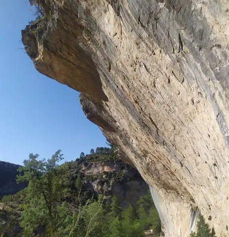
Barranco del Horcajo, a narrow canyon carved into the limestone rock, where there are numerous botanical treasures more typical of other latitudes.
Ver más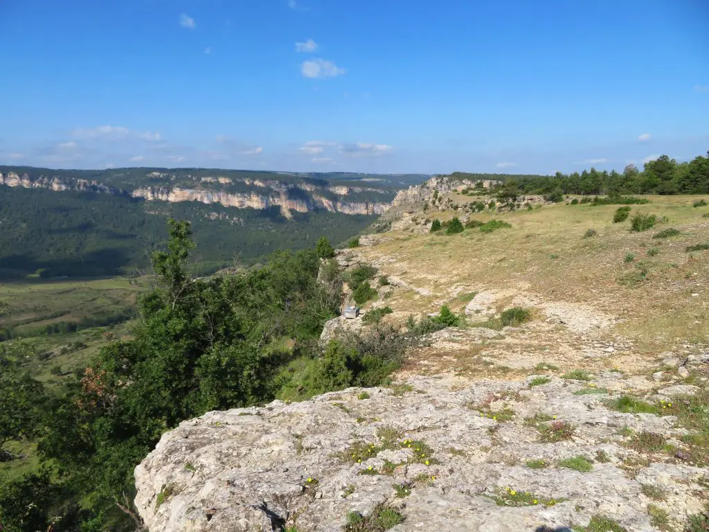
The Muela de Utiél reveals countless chasms, a multitude of fauna and marvellous natural viewpoints that will delight any visitor.
Ver más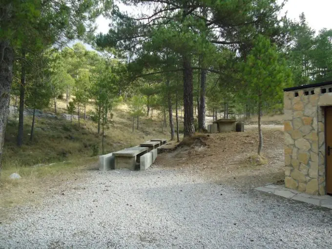
The recreational area La Comun is located in the heart of the Alto Tajo, about 7 km from the village of Peralejos de las Truchas in the direction of Molina de Aragón.
Ver más
The Martinete bridge is the border between two provinces of Castilla-La Mancha, Cuenca and Guadalajara in Peralejos de las Truchas.
Ver más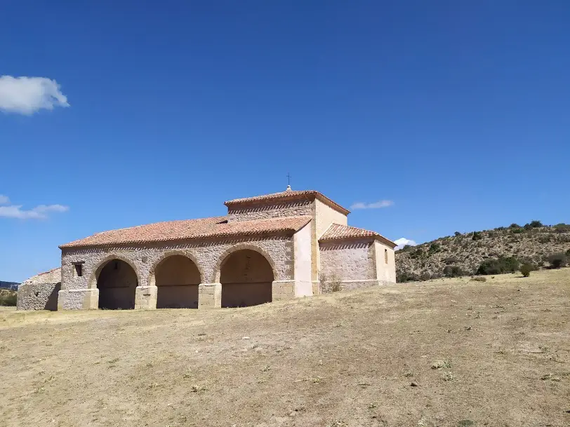
Hermitage in Ribbagorda with medieval origins, rebuilt in the 18th century. It is one of the most emblematic hermitages in the Alto Tajo.
Ver máshttps://es.wikiloc.com/rutas-descenso-de-barrancos/arroyo-de-la-quebrantaherradura-47474141
Ver más
The information point in Peralejos de las Truchas is usually open all day on Saturdays and Sunday mornings from June to September.
Ver más
El Rasón, at an altitude of 1,655 metres. It is a viewpoint with unforgettable views of the canyon carved out by the Hoz Seca river.
Ver más