Buenafuente viewpoint
Views of one of the wildest areas of the Tagus River

Buenafuente viewpoint
Dirección
Buenafuente viewpoint
GPS
40.806626816967, -2.2302660772046
Viewpoint of Buenafuente del Sistal
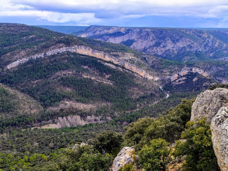
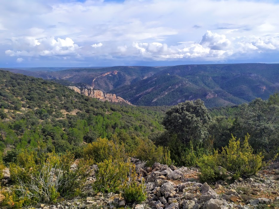
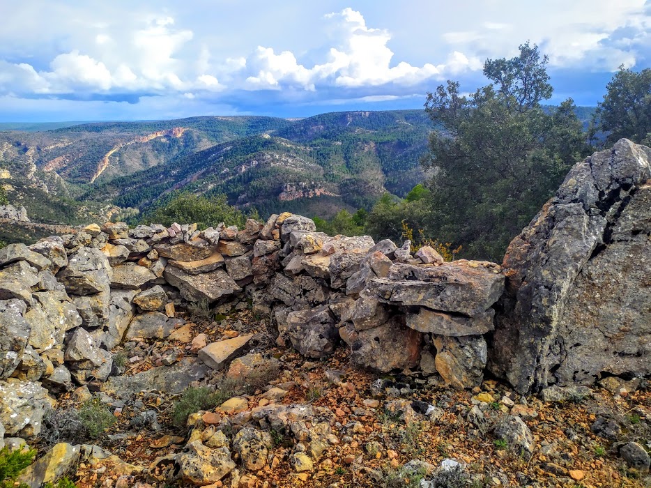
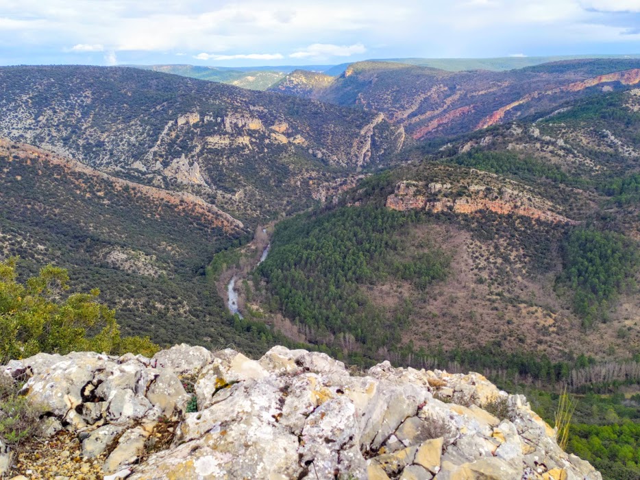
The Buenafuente lookout point is one of the most important natural balconies The area is one of the most impressive places where only animals and adventurers go to contemplate the views of the Tagus River, thanks to the wild and untouched nature of this area between rock walls and endless slopes.
The viewpoint is located on the top of a 1,200-metre-high millstone over the riverbed. The length of this plateau is about 2 kilometres, which means that walking along it, and reaching its end, we will enjoy a walk with views of the horizon that we will not forget.
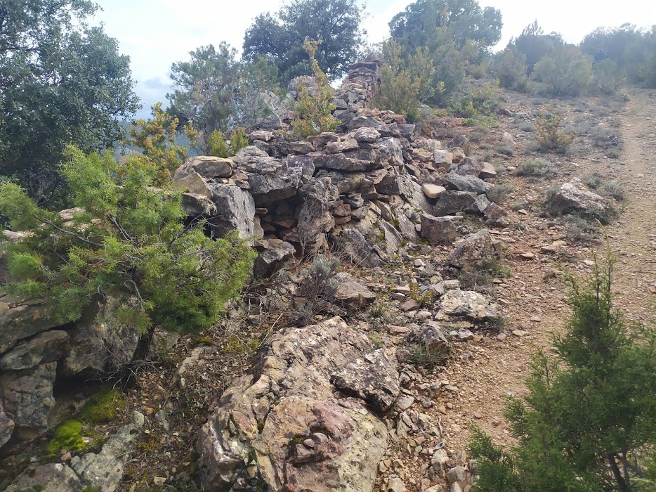
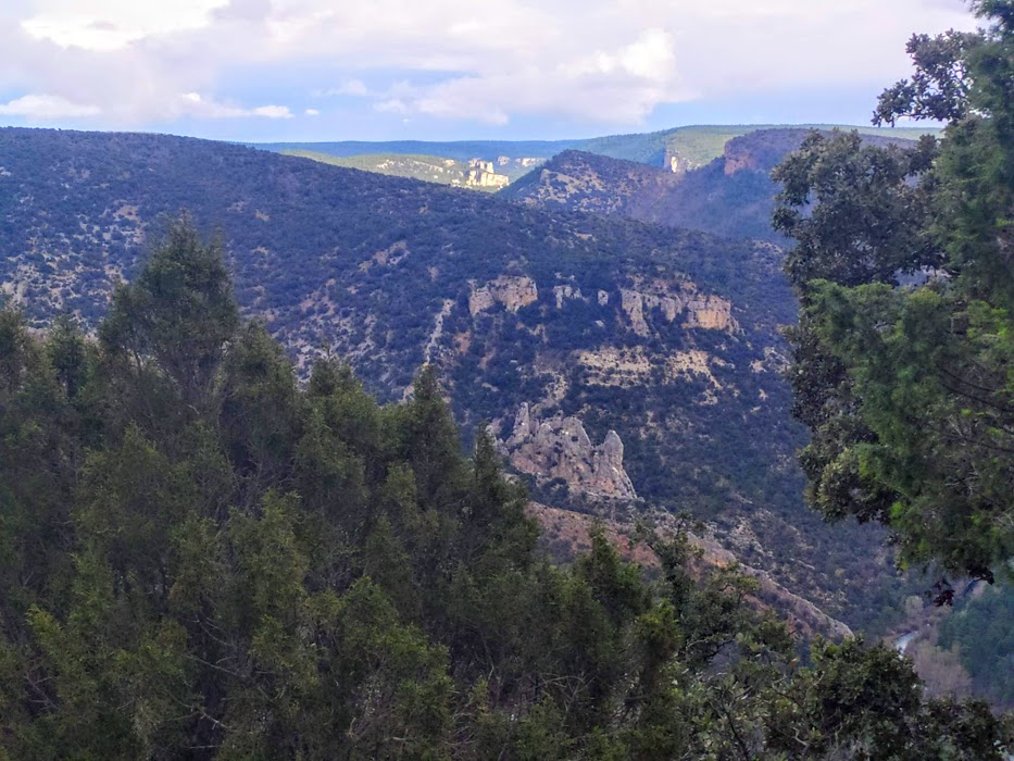
From the viewpoint, apart from the raging riverbed of the Tagus, we can contemplate the so called Peña de los Cuchillosunder which is located the well-known Cave of Guaruño, a cave with years of history that was inhabited in times of war and post-war, also under our gaze there is also the so-called Buenafuente CastleThe rocky limestone reef, which crowns a hillside, gives the impression that there is a wall built, thanks to its straight and perfect cut, which is also undulating.
This is one of those places where you can spend hours and hours while enjoying the timelessness and immutability of this landscape and perfect for birdwatching enthusiasts, as from here you can see how our griffon vultures, Egyptian vultures and hopefully even a Bonelli's eagle fly below us.
<< How to get there?
To get to the top of this hill and look out from its impressive viewpoint, we have to walk, following the Stations of the Cross leaving from the Buenafuente del Sistal Monastery. The last stop of this Way of the Cross will be at the top of the muela, which we will have to walk along to contemplate all the views.
To access the monastery by car, take the road on the left after leaving the monastery in the direction of HuertahernandoThis road has a large stone slab, and it actually leads to the Huertahernando HermitageBut we won't go that far down. Right at the crossroads of the crossroads with the GR-113If we have space to leave the vehicle, the ascent to the muela must be done on foot, following the Buenafuente path, or by a small branch that we find on our left a little further down, continuing along the path, let's say, towards the hermitage (not the monastery).