Circular between El Endrino and El Angosto
Comfortable circular road between El Endrino and El Angosto

Circular in the Endrino and the Angosto
Dirección
Start at El Endrino or El Angosto
GPS
40.61020591356, -1.7349815368652
Circular 8,4 Km | 8,4 Km | 8,4 Km | 8,4 Km | 8,4 Km | 8,4 Km Unevenness 383 m | Duration 3 h | Route On foot - Bike
Circular between El Endrino and El Angosto
We are in the easternmost edge of the Upper Tagus and at the same time in one of the highest areas of the area. We are in an area that exceeds the 1700 metres and we are going to walk through it with a route circular from 8 kilometres which runs between the Fuente del Endrino y El Angostoin the municipalities of Alustante y Alcoroches.
We can say that this route presents a difficulty moderate as it has some 400 metres of vertical drop, but if we do it with time, calmly and enjoying the scenery, it doesn't have to be hard, as we will be riding on dirt roads and tracks in good condition.
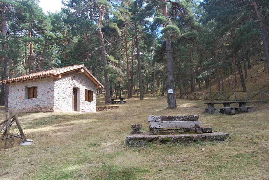
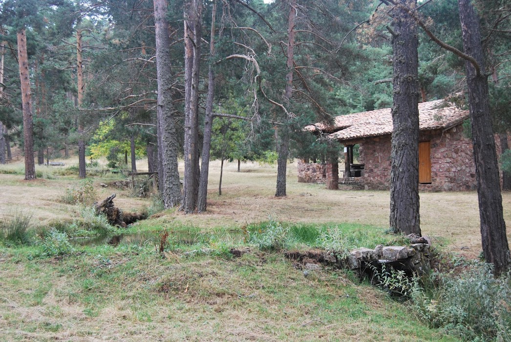
We start our journey in the Fuente del Endrino bajoThis is an ideal place to rest, with tables and a shelter, as well as a clear spring where you can get water for your route. From here we will start to go up the path that will take us to the gradually moving upwardsnot hard but constant.
We arrived at the Fuente del Endrino AltoFrom here our path turns to the left and shortly afterwards turns to the right to continue ascending (it is here where we see the first signpost that directs us to the Banderín, which we will follow for the time being).
We continue climbing and about two kilometres after starting the route, we come to a small track on our left that climbs even higher. Alto de las Neveras or El Banderín which, at 1834 metres, is one of the highest peaks in the Alto Tajo Natural Park.
We on today's tour we will ignore this diversion, but if anyone would like to make the climb, just know that the turn-off is at that point on the route, and if you want to climb to the top, the return would be via the same route.
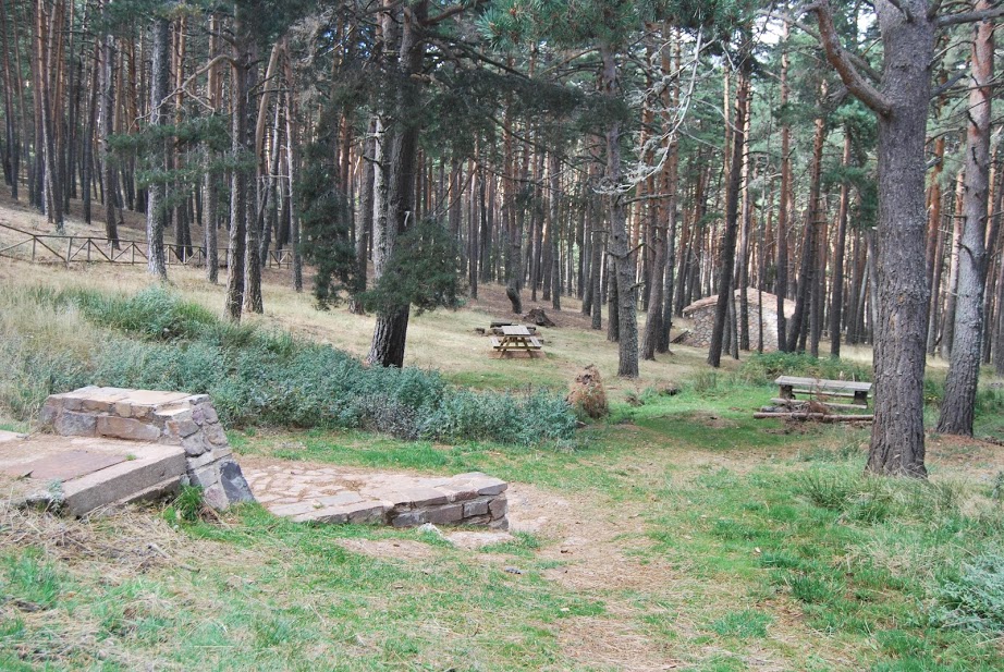
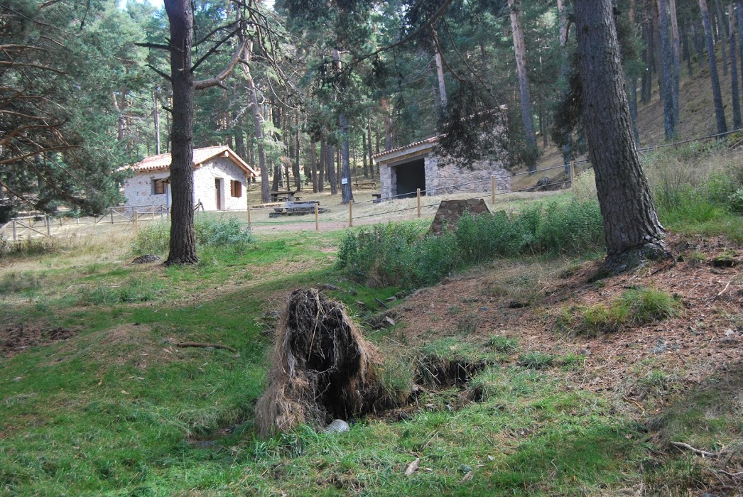
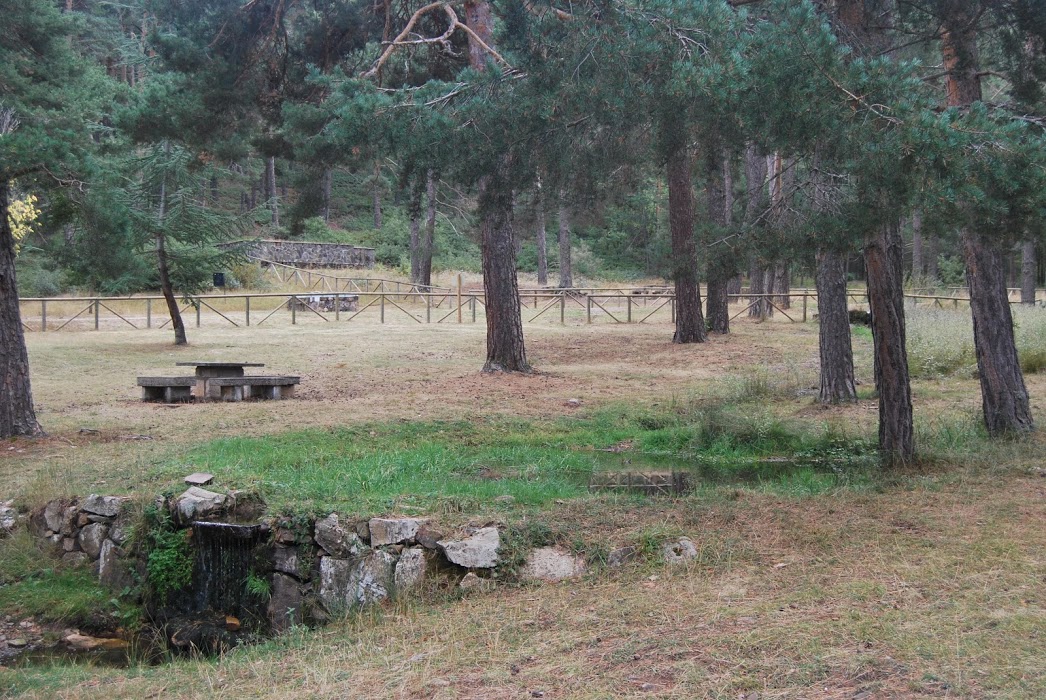
Ignoring the turn-off to El Banderín, we continue along our defined track, now descending, for 1.5 kilometres, where we come to a crossroads. Here we start again to ascend the track on the right until they reach a shelter located in a intersection of three roads. At this point we take the right-hand lane to enter a continuous descent through a dense and fresh Scots pine forest, until we find the area of the Angosto FountainThis is an ideal place to make a short stop before starting the last part of our route.
Here we can refresh ourselves in its fountain, rest in its wonderful recreational area and have a drink to regain strength after the previous ascent and descent, once all this is finished, we continue descending towards the town, but in the detour that leads us to this one, we we turn right to cross an area of farmland that leads us to the track we had to take before to start our path on the Fuente del EndrinoSo, just turn right, go up a short stretch of the path and you will soon see our starting point.

Finally, I would like to add that this is a perfect route to do in summer, as we won't be too hot. We will be totally surrounded by dense forests and to the manhood of the Alto de las Neveras which provides us with that much appreciated shade in the summer months, as well as the fact that we will be at all times between 1500 and 1800 metres above sea level, which guarantees that the atmosphere is somewhat cooler.
Signposting and Start of the Route
This route has no signposting, it is very simple, although there are several detours along the way that can cause you to get lost, but with the track below you will find the route available at all times to avoid surprises.

