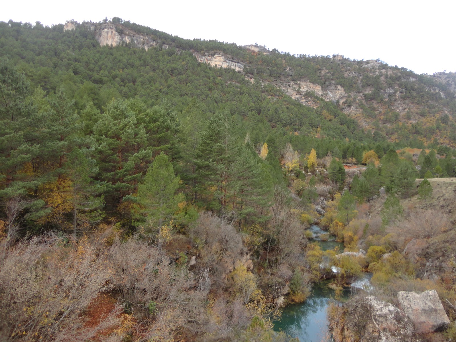
Dehesa de Belvalle
In the Alto Tajo area of Cuenca

Dehesa de Belvalle
Dirección
Dehesa de Belvalle
GPS
40.575128624974, -1.9637685674039
Dehesa de Belvalle
Located in the Upper Tagus Natural Park, the Belvalle estate belongs to the municipality of Beteta, and is managed by the Commonwealth of Belvalle formed by the municipalities of Beteta, El Tobar, Masegosa, Lagunaseca and Santa María del Val since 1952.
It covers an area of 2,032 hectares and has been used for public forest activities such as logging, pastures, truffles, hunting and cultivated areas in the surrounding municipalities.
From the Martinete BridgeWe can follow a path to admire the landscapes that populate both the lush meadows of Belvalle and the flat and solitary meadows of the Alto de la Muela, studying the route carefully, as these areas are not very busy and require some study. On the way we will also be able to have a view from above of thea Cascada del Molino from Peralejos de las TruchasA different perspective that allows you to see all the beauty of this enclave. Soon we will upload the track of our route.
Finally, we recommend that you walk through the lands of this area of the province of Cuenca in the autumn months, as the multitude of colours of the exuberant vegetation that you will find here will leave you speechless. On wet days you will find numerous species of fungi and the local wildlife is sure to surprise you somewhere along the way.


