San Cristobal Hill
One of the roofs of the Upper Tagus

San Cristobal Hill
Dirección
San Cristobal Hill
GPS
40.5321398, -1.7200621
San Cristobal Hill
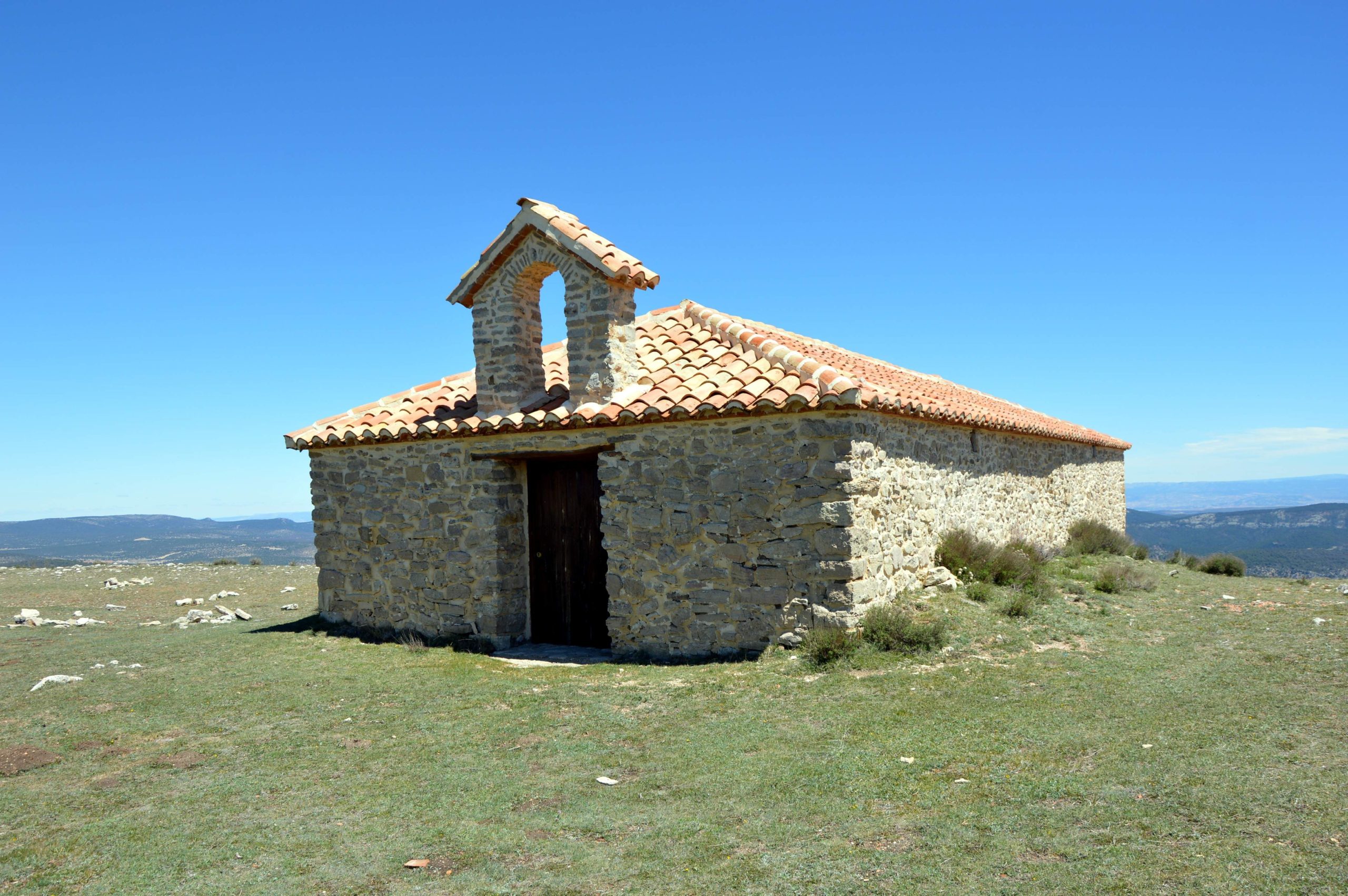
The San Cristobal HillThe Peña de la Gallina, with its 1862 metres, is one of the highest peaks in the Alto Tajo, and next to it, the Peña de la Gallina exceeds it with 1885 metres. Once we have reached the highest point of this hill, we will enjoy impressive views of a large part of the municipality of Orea and the bottom of the valley where it nestles.
On the high plateau of the hill we find its Geodetic vertex and the hermitage of San Cristóbal, It is undoubtedly an ideal place to enjoy astronomical observation thanks to its height and the clarity and cleanliness of its skies. As far as the building itself is concerned, there is nothing special about it, but the environment in which it is situated is, with wide horizons, green hills and rocks dotted with junipers, brambles and rose bushes.
On its slope is the Cerrillo Herrero Recreational Areathe area closest to the village of Oreaand which we will reach by the road that connects it with the campsite, and on the other side we have the Río de Piedras and next to it the La Canaleja Recreational Area from where you can take a short walk up to the Cerro de San Cristobal.
<< How to get there?
To access these places, we recommend taking one of the several routes that run along this hill. To learn a little more about its geology and how it was formed, we recommend Georuta 9 Sierra de OreaThe cave, which is located in the middle of the area, clears up some of the unknowns that this place and the curious formations that can be observed here awaken. If we want to go for a walk to get to know the area in more detail, we can always do the following the route of the Arroyo del EnebralA comfortable and equally interesting route.
Likewise, if you want to get as close as possible to the top of the hill, you can get there by car, although we always recommend all-terrain vehicles for these trails. If you want to go up with your own vehicle, we advise you to ask the state of the track.


