Malilla Wadi Route
Short but beautiful and dangerous route.

Dirección
Start in Rambla Malilla
GPS
40.478423696571, -1.8538803085269
Round trip 5.5 km Unevenness 50 m | Duration 2 h | Route On foot
Malilla Wadi Route
In one of the most hidden places in the world, the Alto Tajo Natural Parkis the Los Huecos Ravine, also called Rambla Malilla, The name given by the locals thanks to the treacherous nature of its riverbed on rainy days, since, although it may seem impossible, its waters rise unexpectedly from the subsoil.
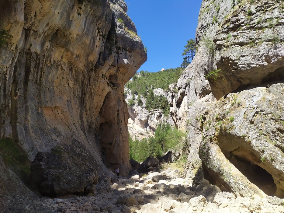
The route to follow is the last section of the Rambla Malilla, which turns its course into a amazing ravine, which we will walk through to its mouth of the Tagus Riverforming an elongated and impressive strait of great value and beauty.
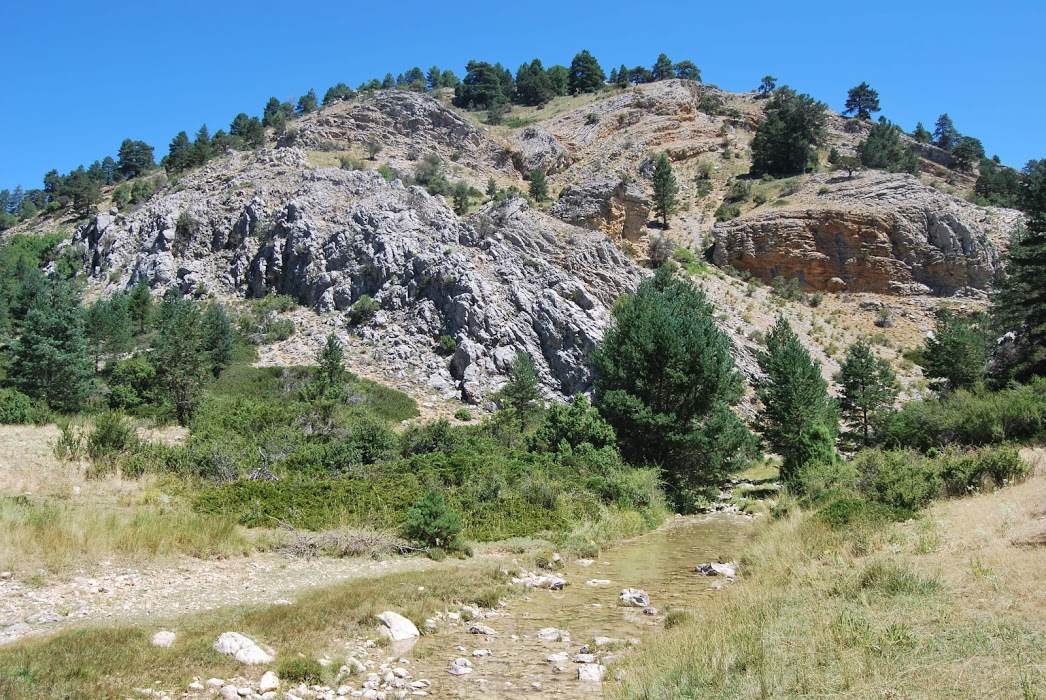
At the beginning, the Rambla Malilla runs small, but it still runs, and little by little, as we walk towards its junctions with the Tagus, it dries up, until it ends up completely hidden, leaving a rocky bedIt is becoming larger and larger, forming one of the deepest and narrowest ravines to be found in this area. Sometimes it only reaches 6 metres wide or perhaps a little less, contrasting with the height of the walls, which are often around 30 metres high and completely vertical.
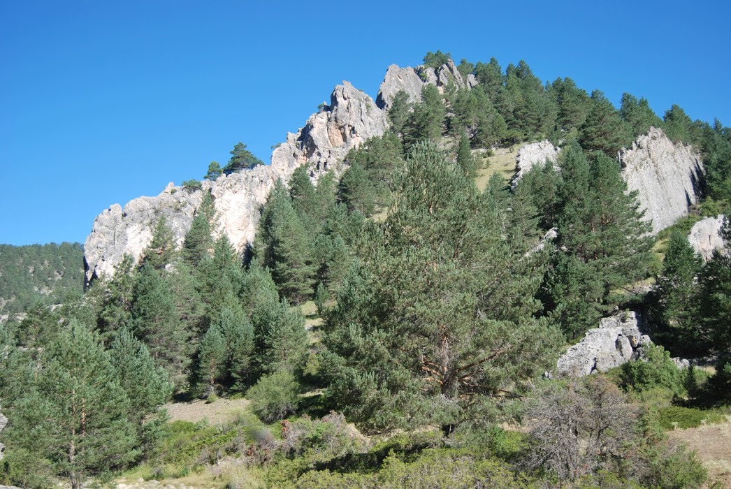
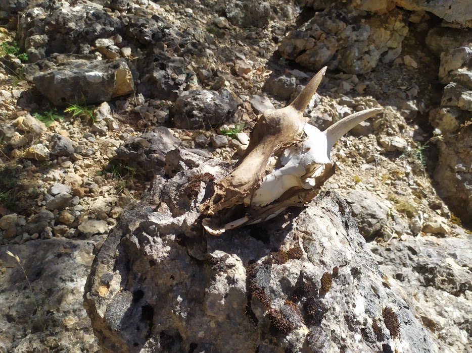
At first the stones are intermingled with the local bushes, especially brambles and rose bushes on the banks of the stream bed, pines y sabinas on the slopes, and the occasional puddle that eventually disappears.
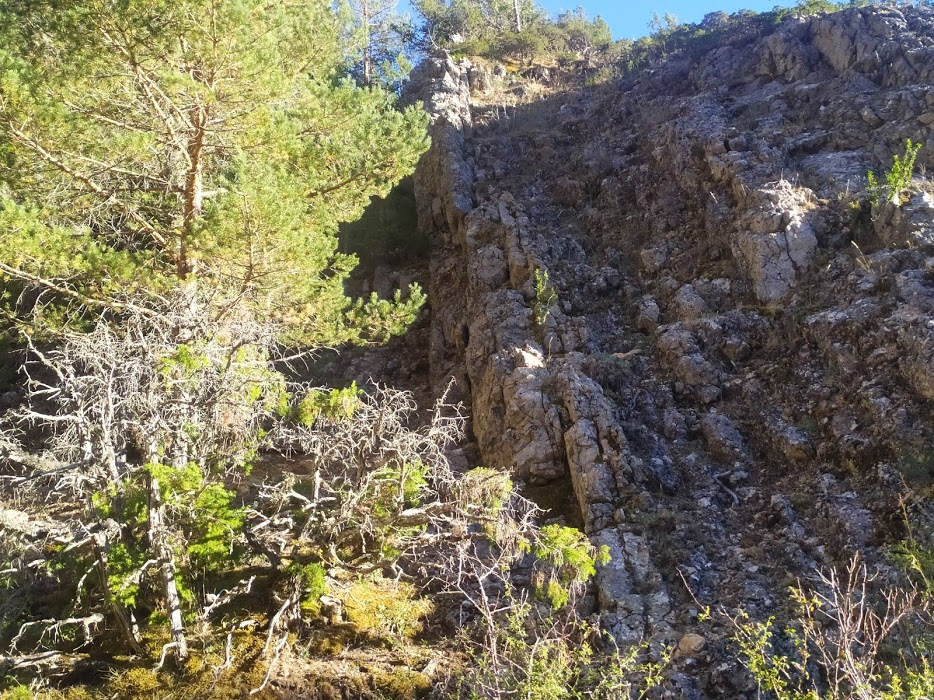
The pass is narrow, there is no path and we have to walk on the stones, sometimes of considerable size, and even take the occasional jump, which makes it difficult to walk. slow and costly walkingThe more so if we think that we can't stop looking up, to see the spectacle of the cuttings, and at the same time looking down so as not to fall.
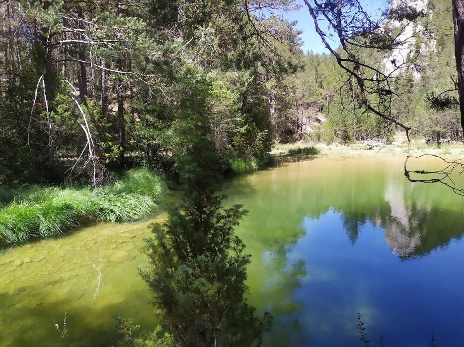
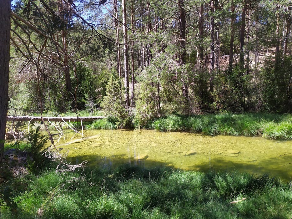
After about half an hour, we begin to hear water flowing without being able to see it, it is about to emerge. The ravine opens up, the large rocks begin to disappear and we are surrounded by pine trees and an incipient river that jumps between the stones, as clear as crystal, and in an instant it flows so fast that we have to find a way to ford it. The difficulty is that when it emerges it does so between two large rocks to which we have no access, and when we can reach the bed it is already deep enough to have to look for stones to help us cross it.

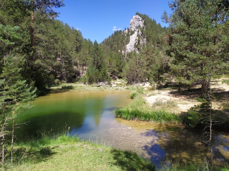
When this happens, we enter a dense pine forest through which we walk for about two minutes. The pine forest disappears almost suddenly and a green esplanade opens up, surrounded by hills where rocky peaks emerge among the pines.
Right in the together with the Tagus RiverA large meander opens up, the water is green as the Tagus always is, crystalline, shining with the reflections of the sun. It is a totally wild place, serene, pure, forgotten by all but the shepherds who herd their cattle there.
This route is not properly signposted or buoyedThere are white and yellow markings, corresponding to some local footpaths, but they are not visible or sufficient to be able to follow this path solely guided by the waymarks. Although in this particular case, as this route is entirely a canyon that ends at the confluence with the Tagus River and there is no detour of any kind, it is not possible to get lost. Special attention should be paid to wearing good footwear as there are stretches where you literally have to jump over large rocks.
<< How to get there?
To get to the route, the first thing we have to bear in mind is that wherever we come from, it is far away, and we have to drive along paths and forest tracks for a few kilometres. For us, due to our location, the easiest way to get there is the one that starts in the village of Orea (although it also runs smoothly from Czech or from Guadalaviar).
We head from Orea towards the fuente de la Jícara recreational areabut we won't get there, a few kilometres beforewe find ourselves with a deviation on our way to our rightThis takes us off the tarmac track and onto a somewhat rocky path at the beginning, which leads to address to the uninhabited village of Villanueva de las Tres Fuentes. Once we arrive at the deserted area, we continue along the same track we took at the beginning and continue straight on for a few kilometres (there are many, don't despair, you will get there).
We will pass through the turn-off that leads to the hermitage of San Lorenzo (belonging to Czechand where we would have come from if we had started our journey there), and shortly after we will arrive at to another detour where the road turns to the left in the direction of the bridge of the three provincesThe source of the river Tagus. It is here that we leave the road we came from and take the detour that leads off, and continue straight ahead, just around the bend.
Once on this much smaller runway, we're nearing our destination, we just need to continue straight ahead once again, crossing cereal fields, which are a paradise in the rutting season, and a dense forest, which leads to the wonderful esplanade where we will park our vehicle, and from where we will begin our route of the Rambla Malilla.
Signposting and Start of the Route
As we have mentioned, there is no clear signposting that allows us to follow the whole route without any surprises, there are some markings but they are not very visible and very scarce, so for more safety on our route, download the track.

