Route by aerodrome, refuges and ojo de la higuera
Walk through a former Republican airfield and various shelters to a waterfall.
Dirección
Peralveche
GPS
40.600593183451, -2.4276062044073
Round trip 8 Km | Unevenness 330 m | Duration 2 h | Route On foot
Ojo de la Higuera Route
At one end of the Alto Tajo Natural Parkis located Peralveche, a small town surrounded by an incomparable environment, thanks to its environmental value and also to the historical heritage that is linked to it.
The route we are proposing today brings these two pillars together, nature and heritageOn our route, we will enjoy good views and privileged spots, as well as visiting several air-raid shelters and a very flat area, today occupied by dense vegetation, which was a Republican airfield during the Civil War.
We start our route from the entrance to the airfield (nowadays), which is located near kilometre 24 of the CM-2015 road, which joins together the following roads Peralveche, Castilforte and Salmerón.
From here we look for the tarmac path that comes out on the other side of the road and that goes straight ahead through a dense mixed forest that not so many years ago did not exist. Little by little, as we go straight ahead along the road, we must pay attention to what we have on the sides.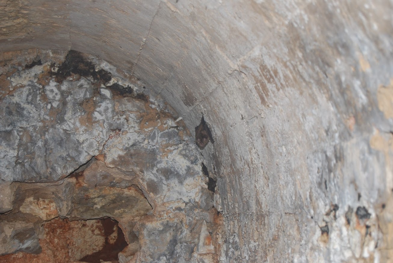
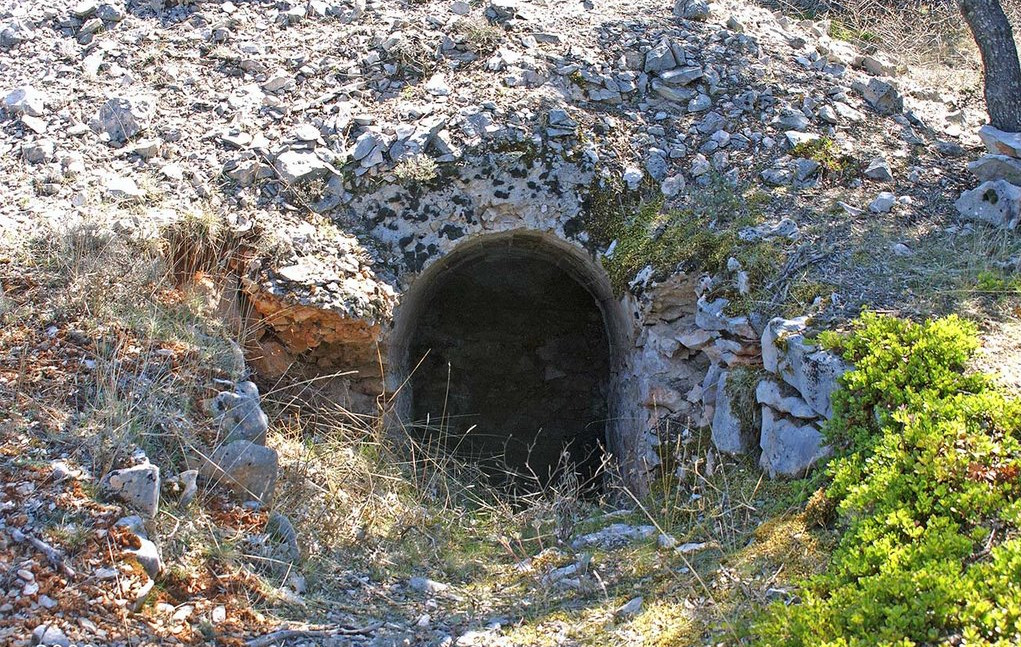
On the left side, with some attention, we will see different constructions almost camouflaged by the vegetation. Some of them are the air-raid shelters that have brought us here. A few of them are preserved and their condition is very diverse, there are some that have more or less withstood the passage of time and where we can peek inside with the necessary precautions.
Others, on the other hand, have seen their stone and wood masonry give way, making them somewhat dangerous, and only useful as a refuge for some bats that have already made them their daytime resting place, so if you decide to visit the inside of a shelter, avoid disturbing the rest of these small animals.
On the right, on the other hand, we find the completely flat area mentioned above, this esplanade, today totally unrecognisable and covered by vegetation and trees of considerable size, which belonged to the airstrip of the republican airfield.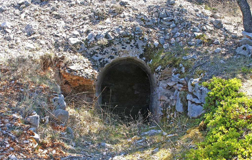
Thanks to the passage of time and the lack of conservation, today we can only appreciate the place where it was located, leaving the rest of the work to the imagination.
Approximately one kilometre after starting out, we will reach an intersection where the asphalted track we are walking on ends, and it is here where we continue straight on and start the descent towards Ojo de la Higuera. This stretch is on a dirt track with its ups and downs, which in the rainy season, or after it, suffers some damage, so be careful.
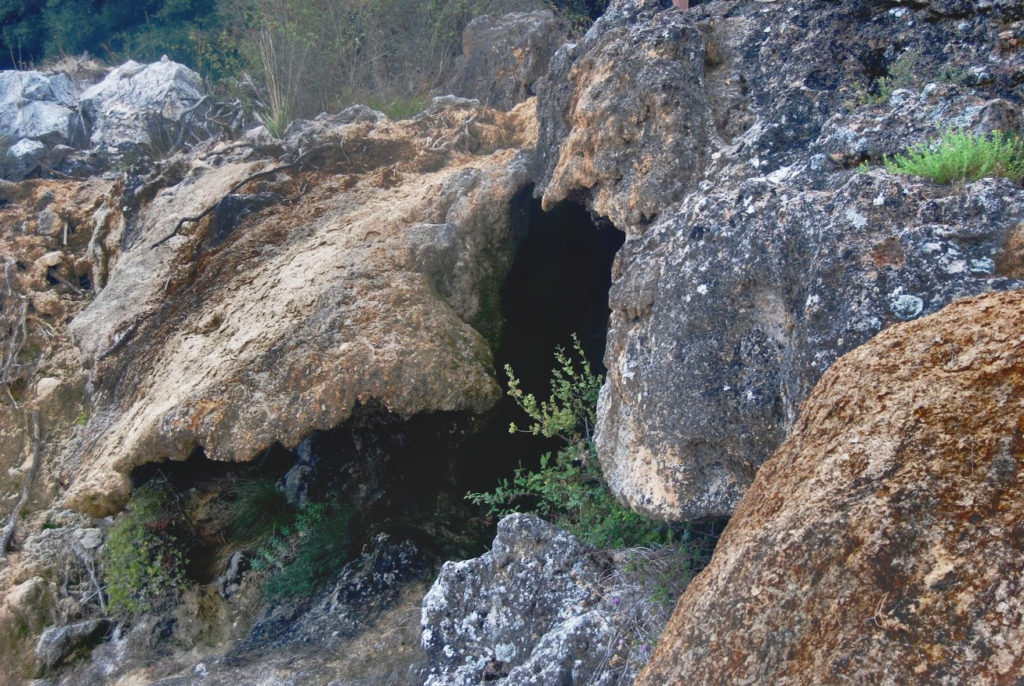
The descent, at first gentle, becomes steeper and gradually leads us towards the ravine formed by the river Vindel, but just where our path ends and we turn a little to the right, as we enter a small, damp shady area, we will have reached the well-known spring of the Vindel river. Ojo de la Higuera.
Here we will make a stop and enjoy the surroundings. First on our right, we will find the "eyes" through which the water, when abundant, gushes out, and little by little, it will gradually rush down the waterfall formed on our left until it meets the waters of the river. Vindel.
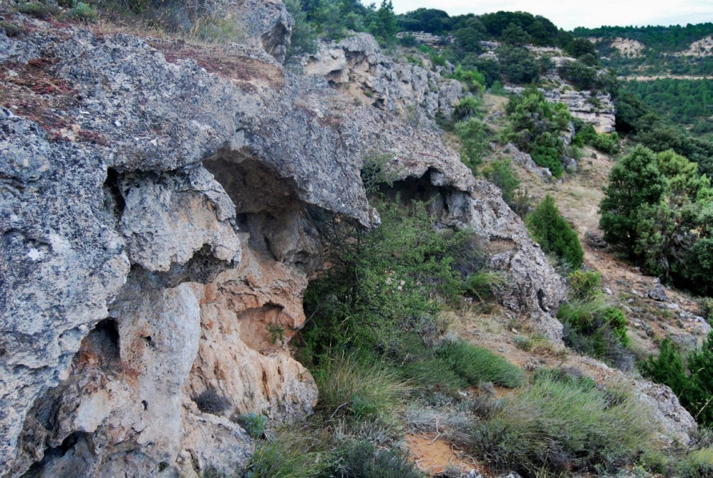
It is a tuffaceous waterfallThe water is laden with calcium carbonate, which is deposited on the bedrock, reshaping and forming a new landscape, giving the rocks and plants that characteristic appearance of this type of waterfall.
Once we have marvelled at the views, we can return along the same path we came along (5 kilometres in total) or continue along the itinerary of today's proposed track. If we continue we will only have to look for the path that goes down along with the waterfall until we reach the path that goes down parallel to the river bed. Vindel River and go uphill to our right.
This section is a little clearer on the way up, as it leads us to a higher part along local paths, where we can enjoy one of the panoramic views of the area.
1.5 kilometres after taking the ascent path, we will reach a fork, where we turn left to continue climbing until shortly after (1 km) we come to the first turning that we have ignored, and we will join the asphalted track to our right along which we have started our route.
All that remains is to return to the starting point next to the refuges we have already seen and thus finish a beautiful and complete route in Peralveche.
<< Signposting and Start of the Route
As we have mentioned, there is no signposting along the entire route, which would allow us to complete the entire route without any surprises, so for greater safety on our journey, download the track.

