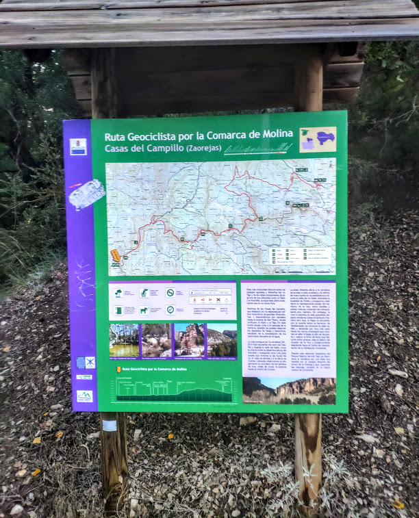
Geocyclist Route through the Molina Region
Cycling enthusiasts can enjoy the geology and nature in a privileged environment and make the most of its cultural potential along a circular route of some 283 km around the region of Molina de Aragón and the Upper Tagus.
For the most part, the route runs along well-maintained paths, tracks and roads with little traffic, through a wide variety of landscapes.
It is a signposted itinerary with a route planner. available at the tourist information points in Molina de Aragón. (Molina Museum y Molina Tourist Information Office). It was launched in 2012 and was designed in such a way that it can also be done in a motor vehicle (in compliance with current regulations) and even on foot.
The route starts and finishes in Molina de Aragón and has been divided into 10 stages ranging from 20 to 50km, so several stages can be completed in a single day if physical conditions permit:
Stage 1Molina de Aragón-Aragoncillo, a stage of about 25 km in length that does not involve technical difficulties and is suitable for a medium level of fitness.
Stage 2: Aragoncillo - Amayas, a stage of about 21 km in length, of low technical difficulty and suitable for a medium level of fitness.
Stage 3Amayas - Milmarcos, a stage of about 25 km of medium difficulty, with a steep climb between Algar de Mesa and Milmarcos.
Stage 4Milmarcos-Tortuera. 18 km long stage, easy from a physical point of view and without technical difficulties.
Stage 5Tortuera-Campillo de Dueñas, a stage of about 16 km in length, with no physical or technical difficulties.
Stage 6Campillo de Dueñas-Morenilla. This stage is about 15 km long, with some slopes, but no physical or technical difficulties.
Stage 7Morenilla-Piqueras, a stage of about 29 km in length of medium difficulty. There is a somewhat rocky uphill section between Tordellego and Adobes.
Stage 8: Piqueras - Peralejos de las Truchas. A 44 km stage of high difficulty due to its length, terrain and slopes to overcome.
Stage 9Peralejos de las Truchas - Fuente de la Parra. Rolling stage of 32 km with no technical difficulties, except for a narrowing of approximately 1 km between the footbridge that crosses the Tagus River and the houses of Salto de Poveda. Caution at this point in winter due to the possible presence of ice.
Stage 10Fuente de la Parra-Corduente, 48 km stage of high difficulty overall. The section between the Parra Dam and Torete is easy from a technical and physical point of view, but the total distance of the stage, as well as the slope and the rocky terrain from Torete onwards, make the route more difficult.
>Link between Corduente and Molina de Aragón, a 9 km stretch that does not present any difficulty.
Molina de Aragon
Rillo de Gallo
Blacksmith
Canales de Molina
Aragoncillo (Variant)
Establés
Anquela del Ducado
Amayas
Mochales
Villel de Mesa
Algar de Mesa
Milmarcos
Fuentelsaz
Tortuera
La Yunta
Campillo de Dueñas
Hombrados
Morenilla
Setiles
Tordellego
Adobes
Piqueras
Alcoroches
Orea
Czech
Peralejos de las Truchas
Casas del Campillo
Torete
Corduente
Molina de Aragón

