Viewpoint of Fina
Accessible from the road

Dirección
Viewpoint of Fina
GPS
40.668607849925, -2.0034940200895
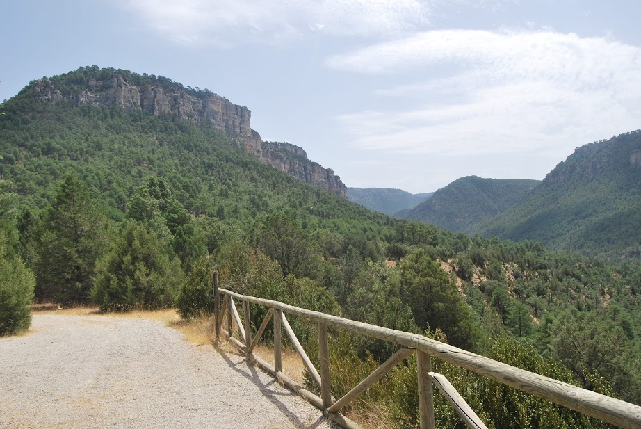
Viewpoint of Fina. Balcony overlooking the canyon.
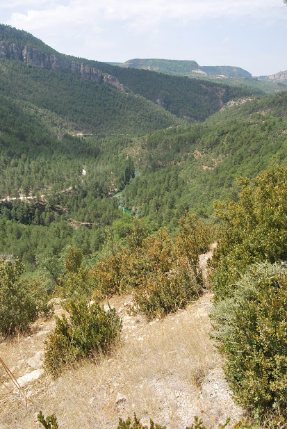
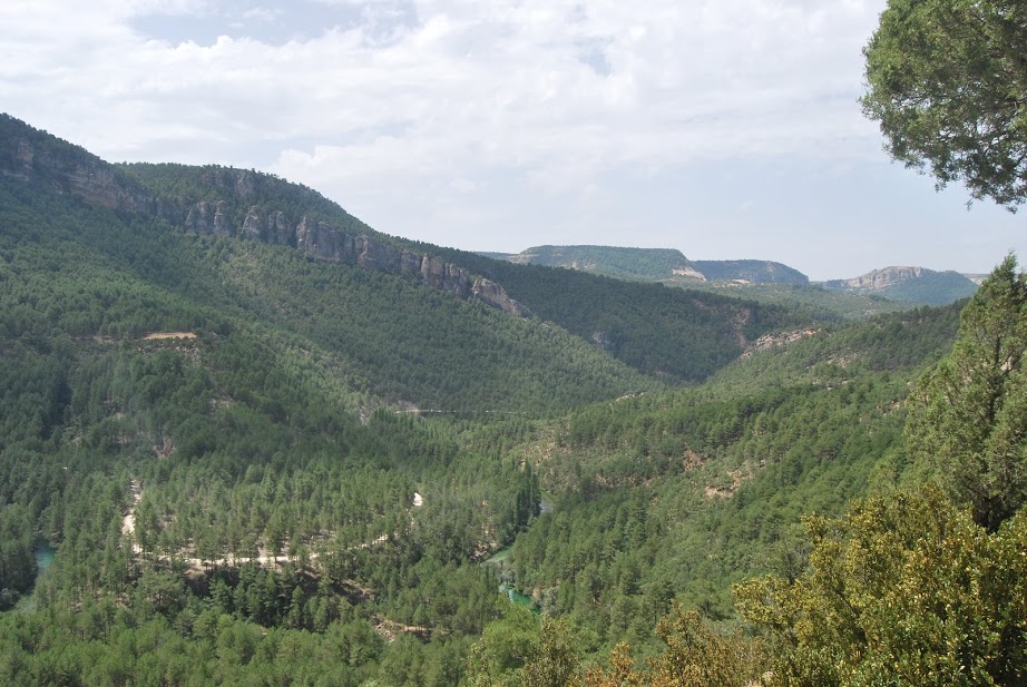
This viewpoint is located almost at the foot of the road and from it we can contemplate the immense landscape carved out by the Tagus river. From here, the lushness of the forests of the Upper Tagus, populated by laricio pines, junipers, gall oaks and boxwood thickets, is perfectly represented, as only the golden escarpments of the limestone rocks that emerge on its banks and the upper parts of the cliffs stand out from its dense slopes.
You can also see how the Tagus River flows with its crystalline waters, on its way to the Poveda Bridge having left a few kilometres behind the fierce fall of the Poveda Falls. From here you can see how the steep gorges are accompanied by riverside woodland that creates a cool, shady atmosphere inside, mitigating the harsh summer weather in contrast to the Mediterranean woodland and scrubland that surrounds them.
From here, at the right time of day and looking up at the rocky escarpments of the Muela del CondeThe flight of the griffon vultures that rest here will leave you astonished. A multitude of these birds continually land and take off from this impressive rocky outcrop.
<< How to get there?
The best thing about this viewpoint, apart from the unbeatable scenery, is its access, as it is almost at the roadside, specifically on the CM-210 road that connects the towns of Taravilla y Poveda de la Sierra. Leaving from Taravilla, once you pass the Cabrillas RiverOnce at the top, well signposted on our left, we will find the access to the mirador de finawhich we can easily access.

