SL PNAT 7 Ruta del río Cabrillas (Megina)
Semi-circular through the beautiful ravine of Cabrillas

Home Cabrillas River Route
Dirección
Start and finish in Megina
GPS
40.638134626313, -1.8719329610448
Circular 8,8 Km | 8,8 Km | 8,8 Km | 8,8 Km | 8,8 Km | 8,8 Km Unevenness 300 m | Duration 3 h | Route On foot - Bike
Local trail 7: Cabrillas river route
A beautiful path that invites us to walk through one of the most beautiful spots in the town of Megina. With a comfortable walk of just over 3 hours, we can enjoy spectacular specimens of trees, incredible views of the canyon and the enchanted city, as well as the countless birds of prey that inhabit these crags and towers which delight birdwatchers.
How to get there?
The route starts in the town of MeginaThere you will find an information sign with the general characteristics. We will have to start our way along the forest track that goes to towards the hermitage of San Pedro and the fountain We recommend taking advantage of the fresh and rich water of Megina to stock up on supplies.
What will we see?
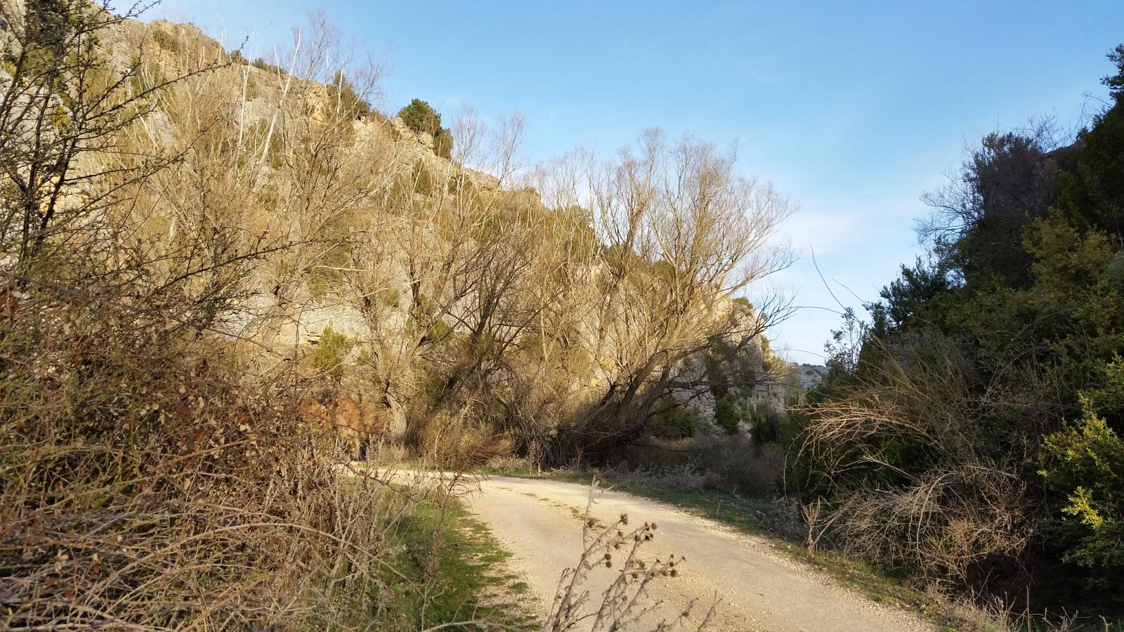
We will cross large open areas where spectacular views and unique specimens of holm oaks and gall oaks will accompany us until we enter a dense pine forest. We will be able to see the vultures of Megina, the flight of the raptors as vultures or Egyptian vultures and perhaps some small roe deer, red deer or fallow deer. The impressive canyon and the curious rock formations that time and erosion have formed should not be underestimated.

Signposting and Route Information
Like the rest of the routes carried out by the Mancomunidad de "La Sierra", this route will be marked with posts and signs of green and whiteThere is also a sign at the start of the route showing the characteristics of the route. In any case, we always recommend that you download the track of the route in the link below to avoid confusion.
Moreover, it now belongs to the network of official footpaths of the Upper Tagus, so its maintenance will have improved. It occupies the number 12 , on the list.
Once we have started the path along the dirt track and we arrive at the village fountain, we will have to leave the track to take the path that comes out on our left which goes to Peralejos de las TruchasThe first stretch is steep, but then it relaxes and we will enjoy the walk with hardly any slopes. We will reach a point where we will have to border the river JándulaThe impressive gorge of vertical walls and narrow alleys between crags and thunderstorms will surprise you.
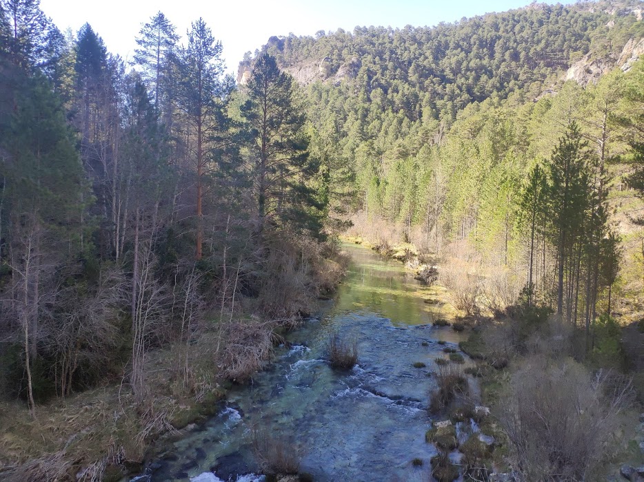
Further on we will meet the Cabrillas RiverWe cross it for the first time over a bridge. Continuing along the track, paying attention to the signposting, we will see that we come across a path through pine woods which invites us to leave the track we were coming along.
When we reach the highest area we will see a post indicating the way down to the left, which we will take guided by the signs of the path and by the line of electricity pylons, which is very easy to follow until we come across the Cabrillas again, which we will have to ford where we can best see, as there is no point set up for this, so we do not recommend doing this route in times of heavy rainfall or in winter, as the amount of water that the river brings varies greatly from one season to another.
Once we are on the other bank of the Cabrillas, we will have to look for the path that goes to the left until we come back to the forest track that we took at the beginning, which we go up until we reach the starting point again.