Ventorro del Chato Recreational Area
Next to the road and the Cabrillas river. Sunny.

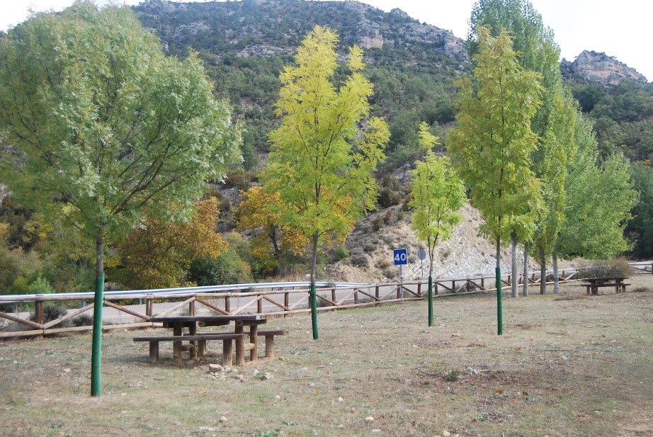
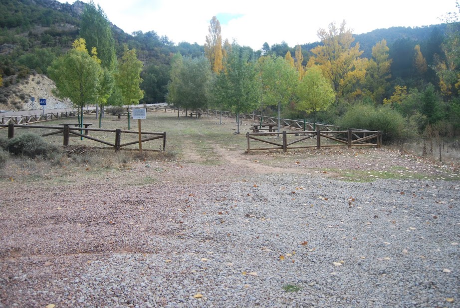
Rest area
Dirección
Ventorro del Chato Recreational Area
GPS
40.673807841629, -1.9867291724666
Ventorro del Chato, Cabrillas river.
The Ventorro del Chato recreational areais a small area set aside for resting on the banks of the river Cabrillas. On the side of the road, next to the bridge that crosses the river, we find the access to the car park and the wooded area equipped with picnic tables, where we can take a break and contemplate the marvellous landscape that surrounds us here.
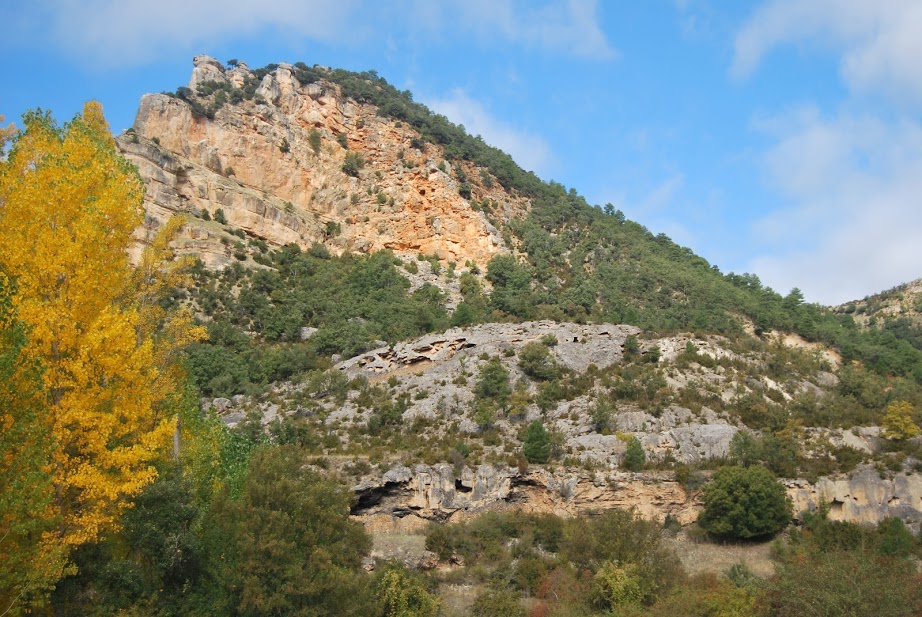
It is located in a "deep" area where the river flows through, before it enters again into a canyoned area. The first thing we see is the river, with its large areas populated by large poplars The surrounding mountain slopes show the many differences between the homogenous areas, with their dense evergreen woodlands such as the laricio pineand the sunny side, with its sparse shrubby vegetation, and a multitude of gall oaks y chanterellesThese are deciduous plants which, in autumn, provide a full range of colours typical of this season.
In addition, we can observe the large escarpments The rocky outcrops of the highest parts that form the canyon that the river has carved with so much work, which apart from their abrupt shapes, stand out for their large numbers of griffon vultures, which find the necessary rest here.
Finally, it should be remembered that in the vast majority of the recreational areas of the Alto Tajo Natural ParkThere are no rubbish bins, so we have to take our rubbish with us. Being clean and silent in these small paradises is the best thing we can do for their conservation and the tranquillity of the fauna that inhabits them.
<< How to get there?
This area is easily accessible, we only have to go to the locality of Taravillaand from there, continue along the CM-210 in the direction of Poveda de la SierraOnce we have descended the first bends of the road, when we reach the lower part, next to the bridge that crosses the river Cabrillas, we find on the left hand side the access to the car park and the picnic area.
<< What to do?
From this place, apart from taking a break on the road contemplating the landscape and enjoying the Cabrillas River, we can follow, almost parallel to it, a large part of its final course. By a comfortable track accessible to hikers and cycle tourists, we can reach its mouth of the river Tagusnear the Peñalén bridge. In about 16 kilometres (return trip) We can walk through a fantastic and solitary canyon, entering one of the most dense canyons in the area. Nearby we can find the Ventorro del Chato spring but only on very exceptional occasions can it be reached, in case it happens from the same area we could see it.