Muela de Ribagorda
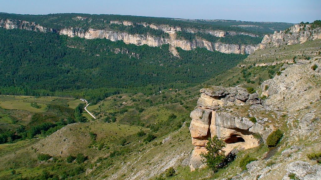
Muela with views of the Hoz Seca and the Tagus

Muela de Ribagorda
Dirección
Muela de Ribagorda
GPS
40.552558616125, -1.8786765843388
Muela de Ribagorda
La Muela de Ribagorda belongs to the municipality of Peralejos de las Truchas and at its foot is located the Ribagorda Hermitage. Its highest point reaches an altitude of 1700 metres, making it one of the most important peaks of the Upper Tagus. Geographically it is the beginning of Sierra Molina which the Hoz Seca splits in two, forming an impressive canyon and leaving opposite each other, just on the opposite side the "Altos de la Campana".
Its southern and western slopes flow into the Hoz Seca, which in a few kilometres flows into the Tagus, and the other part into the Cabrillas, which will flow into the Tajo in a few kilometres. Peñalén bridge.
At the southern end, looking towards the Hoz Seca, we find "El Rasón, with a viewpoint from which the views of the entire Hoz Seca canyon are breathtaking. To the east, a gentle hill opens up at the foot of the extensive pine forest that covers the hillside with its mantle, and to the opposite side, to the west, the imposing Cerro de la Pedriza with 1573 metres.


