Route through the Cabrillas Valley in Taravilla
Beautiful route in the final stretch of the Cabrillas

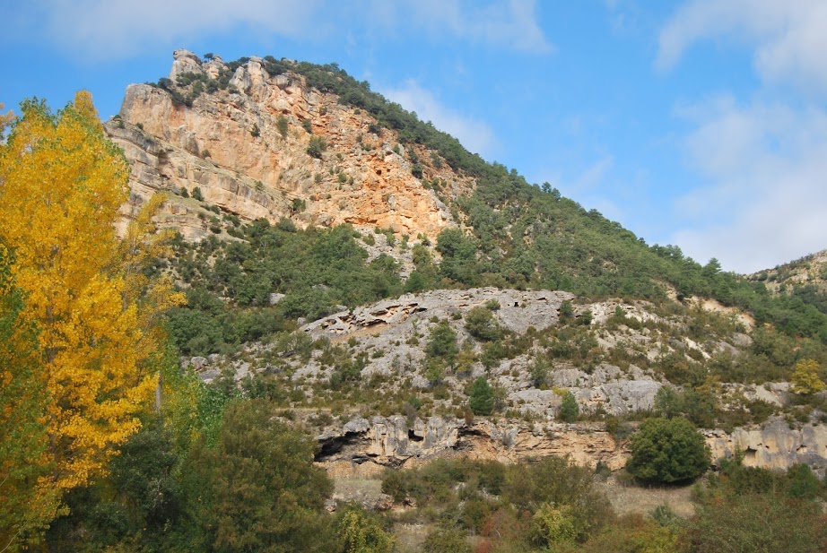
Cabrillas Valley
Dirección
Start at Ventorro del Chato
GPS
40.673921095312, -1.9860162432776
Circular 17,6 Km | 17,6 Km | 17,6 Km | 17,6 Km | 17,6 Km | 17,6 Km Unevenness 180 m | Duration 5 h | Route On foot
Route through the Cabrillas Valley in Taravilla
We call route through the Cabrillas valley to the route of the last 9 kilometres of the course of this river, before it flows into the Tagus River, in the vicinity of the Peñalén Bridge. Bear in mind that this is a linear route, so these 9 kilometres will become 18 when we return to our vehicle.
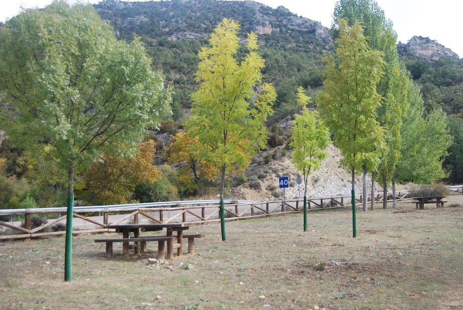
To initiate it, it is necessary that we address the Ventorro del Chato recreational arealocated on the road linking the villages of Taravilla y Poveda de la SierraWe will find a small path that crosses our river. From here we will have to cross the road to take a path that comes out right next to the Cabrillas, from here we only have to follow this track the next day. GR-113 signsThe road then goes back the same way.
This is the 18th route of the book "The best excursions through the upper Tagus".The route, by Luis Lopez Vazquez, is almost entirely on a forest track, without any difficulty, with a fountain halfway, although sometimes dry.
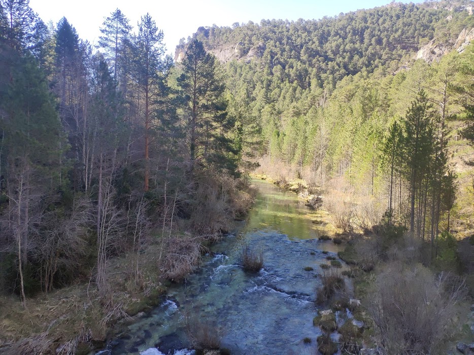
We will first walk along the right bank of the river and then cross a small bridge with a chain and enter a dense riverside forest of cool shade with spectacular hazelnut trees, where we will walk parallel to the left bank. It is a good route for the summer, although the first stretch is a little uncovered, from the middle of the route the sun will not shine on us even in the hottest hours of the day.
In its final stretch, the forest track turns into a path carved into the rock, which brings us closer to the Peñalén Bridge located in a spectacular gorge, with turquoise waters and absolute peace.
Signposting and Start of the Route
This route does not have its own signage, but we can be guided by the signs corresponding to the GR-113, although our route never leaves the forest track, except to get close to the Peñalén Bridge (optional). Even so, you can download the track here for your peace of mind.