Route from Puente de San Pedro to Cascada del Campillo
A walk to discover one of the most spectacular waterfalls in the world.

Route from the Bridge of San Pedro to Cascada del Campillo
Dirección
Start in Puente de San Pedro
GPS
40.797860035782, -2.1548781260384
Circular 9,5 Km | 9,5 Km | 9,5 Km | 9,5 Km | 9,5 Km | 9,5 Km Unevenness 210 m | Duration 2 h | Route On foot
Route from Puente de San Pedro to Cascada del Campillo
This is a simple route of great scenic attraction as it takes us to one of the most beautiful waterfalls in the whole of the Upper Tagus, the Campillo Waterfall. It has a distance of 9.5 km and has a character of circularIn terms of its difficulty, we could say that it is moderate due to some uphill sections that can be somewhat exposed.
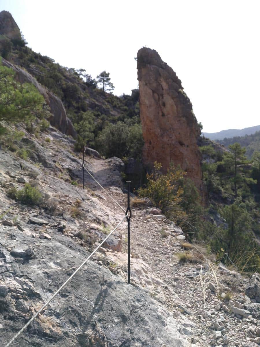
The tour starts at the well-known San Pedro´s BridgeWe can comfortably park our vehicle there, and then continue along the road in the direction of Zaorejas and, once through the the El Campillo tufa building where we can see an infinite number of geological forms, we take the well-marked track on the right hand side, which leads us along the path of a stream until we reach the Herrería dam and bridgewhich channels and regulates the Tagus river. From there, we ascend a very narrow and exposed path that climbs parallel to the Tagus, with sections fitted with safety cables, which give an extra point to people with vertigo or children.
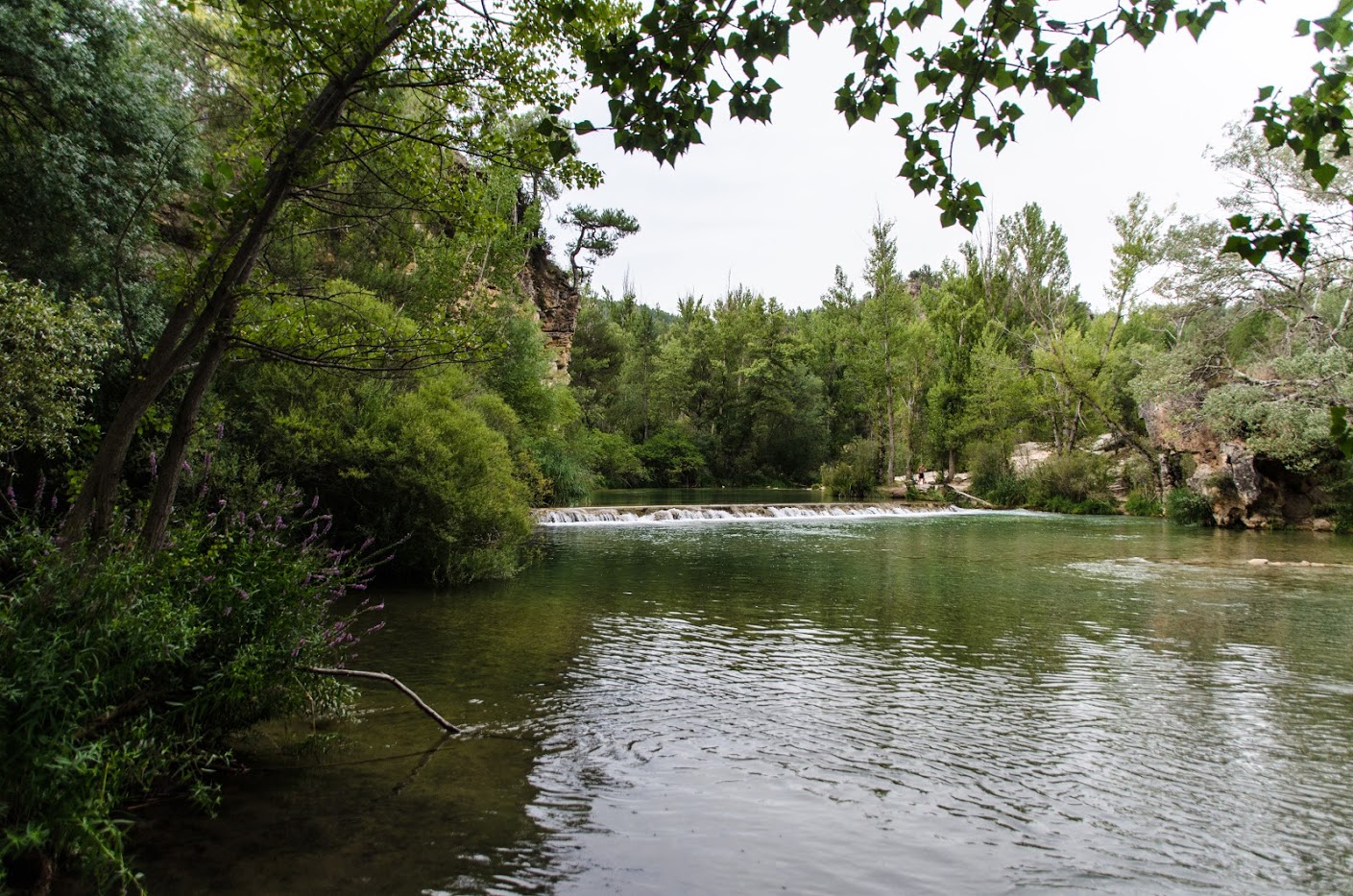
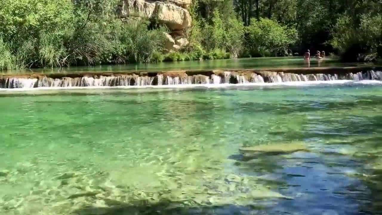
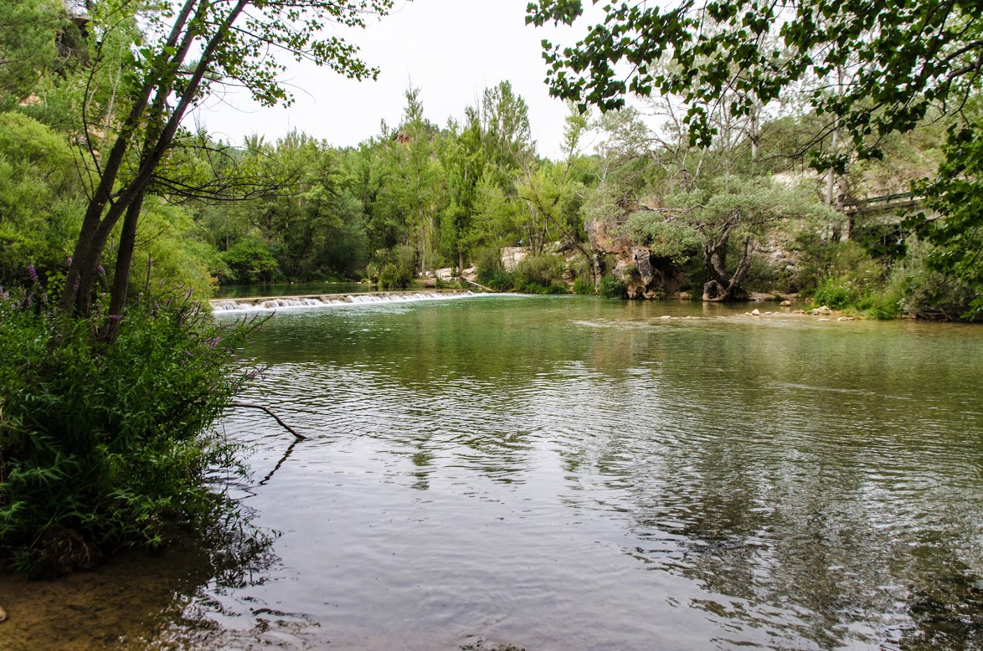
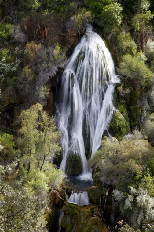
In a short time we arrived at the Campillo WaterfallOn the slope opposite our path, we can only see it from in front of us, but it is marvellous to contemplate the overall landscape over which it falls. We continue ascending along the path (with some steep slopes) until we turn right and climb slowly along a stream whose bed is dry and where the path has almost no gradient.
Shortly after, we reach the road that connects our starting point with Villar de Cobeta. Once we see the road we will only have to start the downhill path that will take us down to the vicinity of the Bridge of San Pedro.
The route from Puente de San Pedro to Cascada del Campillo is a beautiful and comfortable path, perhaps with a special charm due to the section of the route that takes us to the waterfall, its exposure and narrowness reminds us of high mountain paths and overlooks an incredible canyon, carved by the stubborn waters of the Tagus River. During our route we will have walked alongside spectacular tuffaceous buildings, waterfalls, steep canyons, geological formations such as folds and stratigraphic accumulations of infarction, we will cross the spectacular meanders of the Tagus River and we will be continuously accompanied by the flight of birds of prey and griffon vultures, waiting anxiously for us to stumble.

Signposting and Start of the Route
The access to the start of the route is signposted next to the road, as we will take the signposting corresponding to the Tagus Nature Trail (GR-113) although you will have to be careful not to miss the post, as it can go unnoticed, so we recommend you go slowly and download the track for more peace of mind. Once you have walked along the track, you will come across some explanatory signs.