Category: Trails
The route from Escalera to the ravine of the river Bullones, is a circular path of 14 km in length and moderate due to the unevenness of the terrain.
Ver más
The route from Olmeda de Cobeta to the castro of Peña Moñuz brings us closer to one of the Celtiberian sites of the Upper Tagus.
Ver más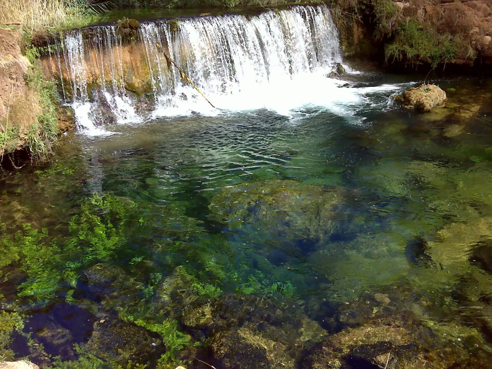
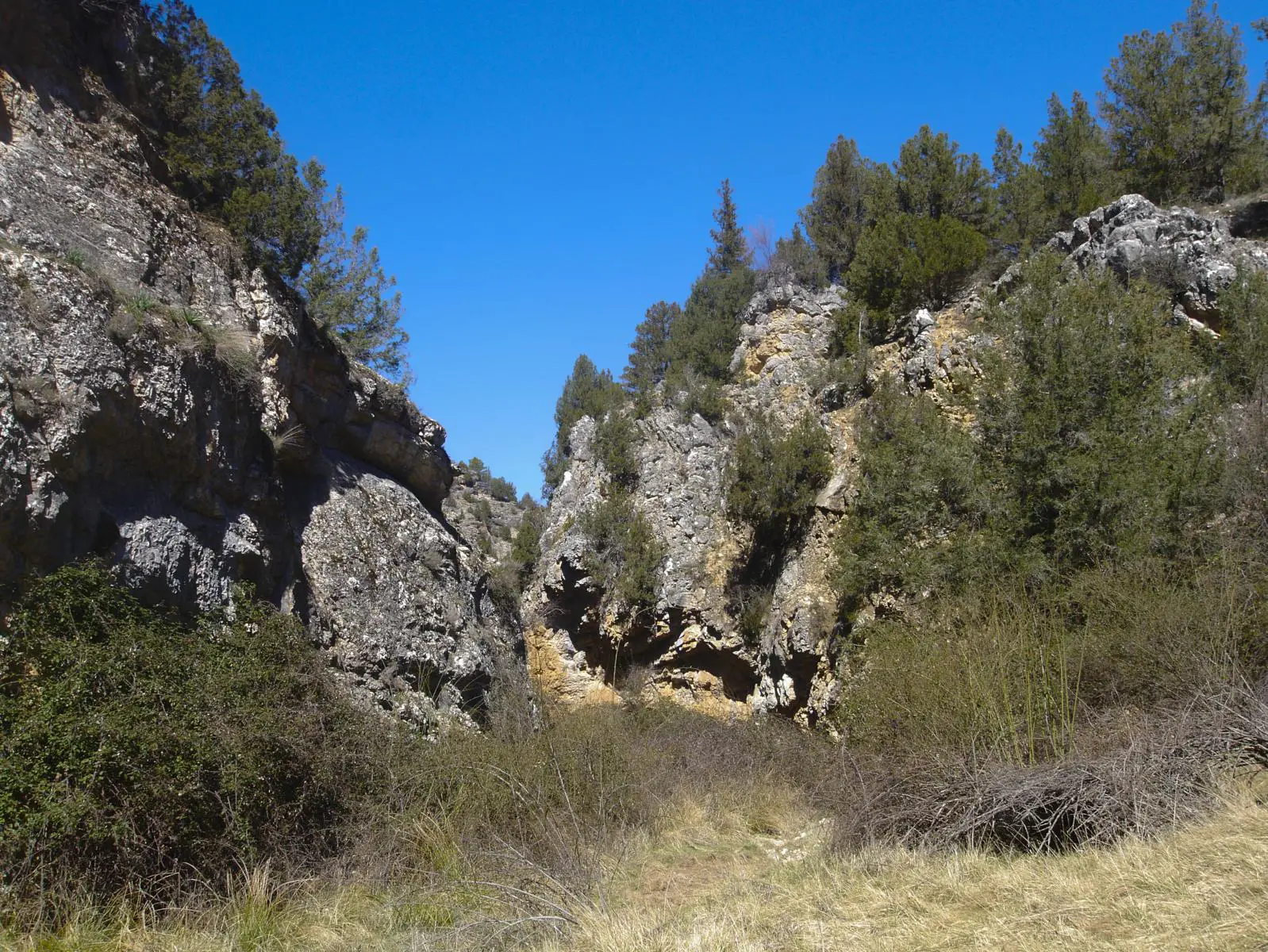
The route from Canales del Ducado to the Hoz del río Ablanquejo is one of the most beautiful and wildest trails in the Alto Tajo.
Ver más
The route from Ventosa to Barranco de la Hoz is a trail where we will walk along tracks to the Barranco de la Hoz from an alternative site.
Ver más
The Barranco de Térzaga Route takes us to a beautiful landscape, often unknown, framed in the Alto Tajo Natural Park.
Ver más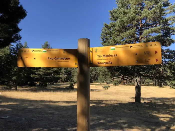
The ascent to Caimodorro from the pass of Orea is a circular route of 15 km in distance and 500 metres of accumulated height gain.
Ver más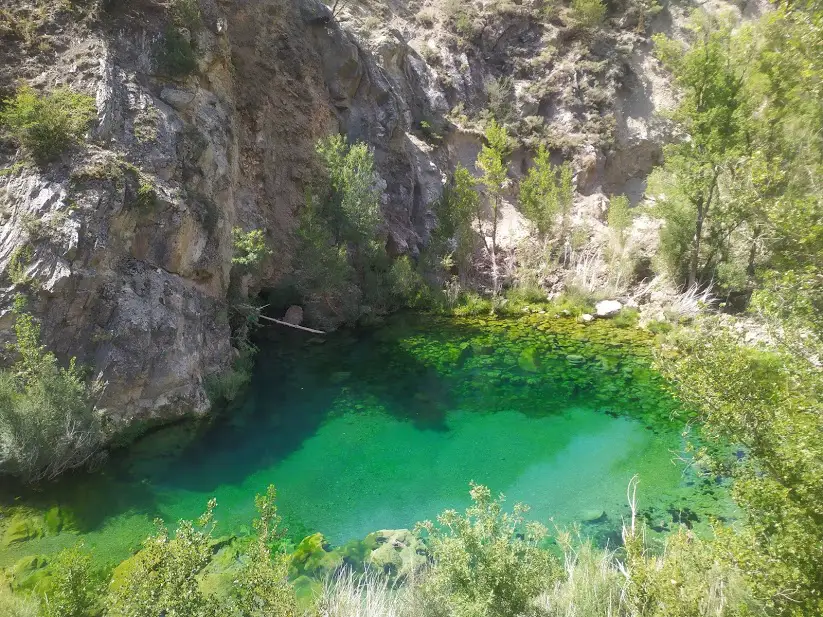
A simple circular route with a great scenic attraction as it takes us to one of the most beautiful waterfalls in the whole of the Upper Tagus.
Ver más
The Holm Oaks route invites you to discover one of the best preserved landscapes in the area, a centuries-old forest that will captivate you.
Ver más
This circular route from Villar de Cobeta and Buenafuente del Sistal is a moderate route, with steep slopes and a distance of 10 km.
Ver más
The circular route along the banks of the Tagus in Peralejos is very simple, it is a 7 km route, with hardly any gradient that will take us parallel to the Tagus river.
Ver más
The Rambla Malilla Route runs through one of the most remote and solitary places in the Alto Tajo, short but with many jumps and climbs.
Ver más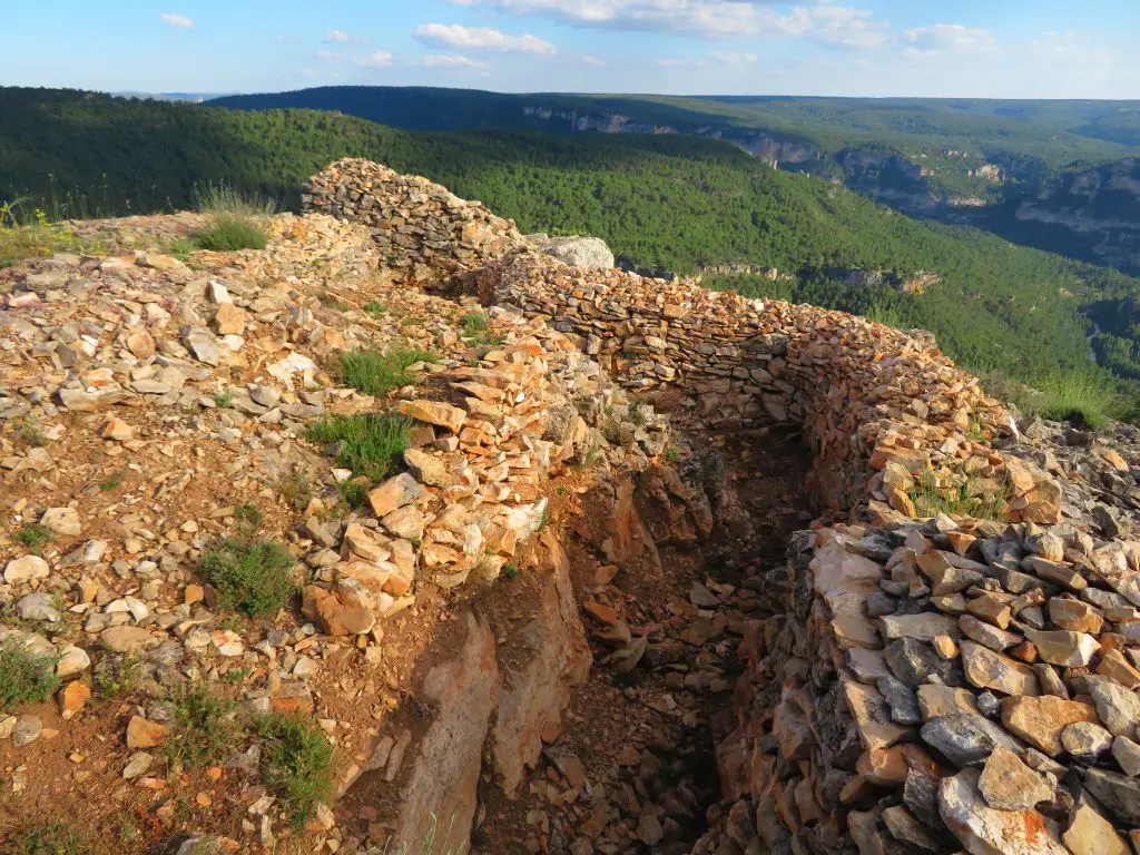
The route to Alpetea Castle is a short walk along the pass accompanied by trenches and birds of prey to finish at the spectacular viewpoint.
Ver más
The Castillosfríos route is a circular path of 11.6 km that goes from Orea to Castillosfríos, of moderate difficulty due to its gradient.
Ver más
The circular route between Endrino and Angosto is a circular route of 8 kilometres that runs between the municipalities of Alustante and Alcoroches.
Ver más
The route along the joints of the Hoz Seca is a beautiful, wild and uncrowded itinerary that runs through an area far away from towns and villages.
Ver más
GR-66 Camino de la Hermandad is the Guadalajara sector of the GR-66, it runs through the Molina-Alto Tajo Geopark from Milmarcos to Peralejos de las Truchas at the Puente del Martinete. On this path the links with Aragon are strengthened by interlinking the GR-66 with the GR-24 in Calmarza.
Ver más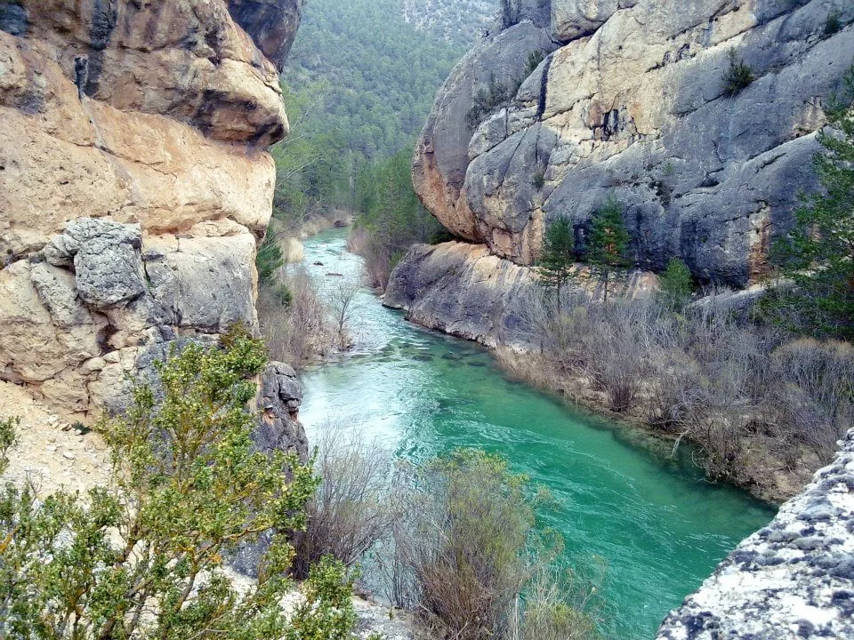
The Cabrillas route runs along the last 9 km of the river before it flows into the Tagus River near the Peñalén Bridge.
Ver más
GR-113 Camino Natural del Tajo, runs for more than 1000 kilometres along the banks of the longest river in the Iberian Peninsula.
Ver más
The Barranco del Arandilla route is a beautiful and flat 6 km walk along the riverbed up to the Montesinos hermitage.
Ver más
The Way of the Cid is a cultural tourist itinerary that crosses Spain from northwest to southeast and follows the literary and historical footsteps of the Cid.
Ver más