Category: Routes
More than 50 routes on foot and by bike to discover the Upper Tagus on your own
The Castillosfríos route is a circular path of 11.6 km that goes from Orea to Castillosfríos, of moderate difficulty due to its gradient.
Ver más
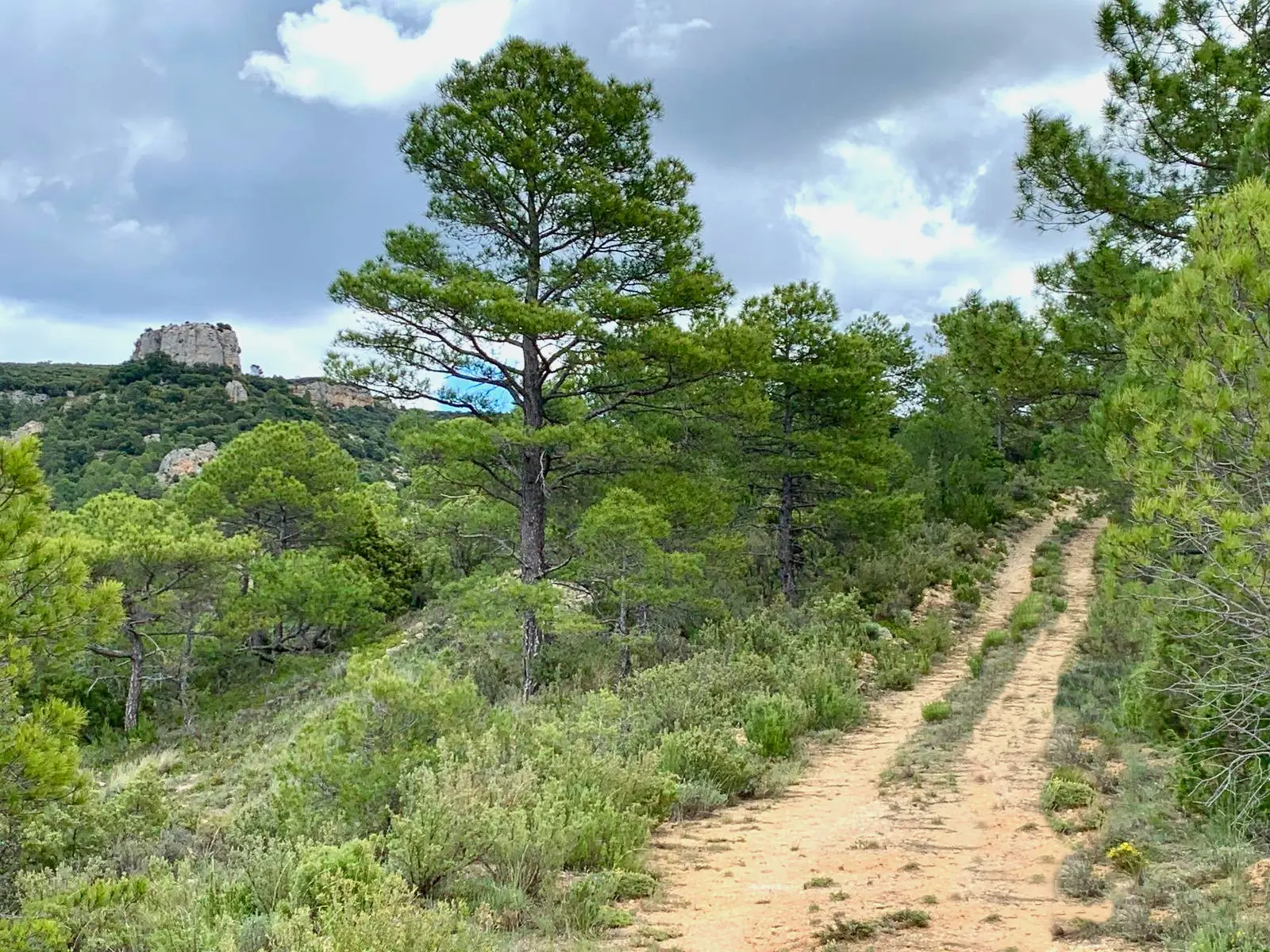
The Valtablado cycle touring route runs through the municipality through a high area between pine forests alternating with stands of holm oaks, junipers and junipers.
Ver más
GR-66 Camino de la Hermandad is the Guadalajara sector of the GR-66, it runs through the Molina-Alto Tajo Geopark from Milmarcos to Peralejos de las Truchas at the Puente del Martinete. On this path the links with Aragon are strengthened by interlinking the GR-66 with the GR-24 in Calmarza.
Ver más
The circular route between Endrino and Angosto is a circular route of 8 kilometres that runs between the municipalities of Alustante and Alcoroches.
Ver más
La sierra is the name given to the longest and most solitary route in the Natural Park. It passes through areas of great value.
Ver más
GR-113 Camino Natural del Tajo, runs for more than 1000 kilometres along the banks of the longest river in the Iberian Peninsula.
Ver más
The route along the joints of the Hoz Seca is a beautiful, wild and uncrowded itinerary that runs through an area far away from towns and villages.
Ver más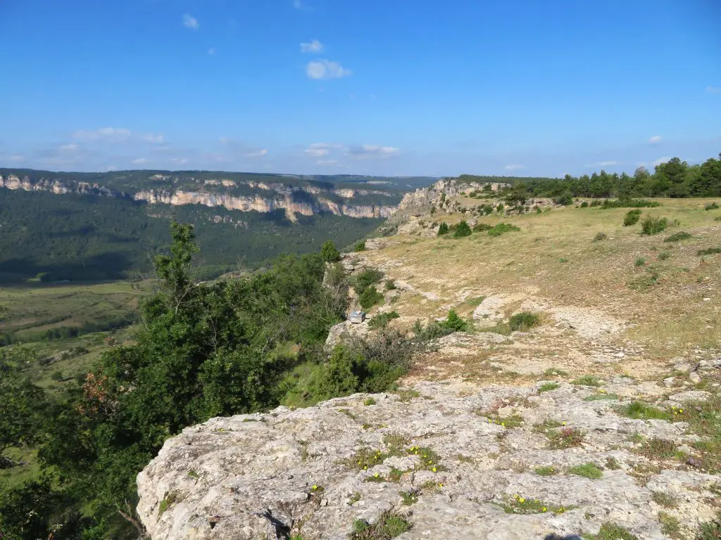
The Muela de Utiél reveals countless chasms, a multitude of fauna and marvellous natural viewpoints that will delight any visitor.
Ver más
The Way of the Cid is a cultural tourist itinerary that crosses Spain from northwest to southeast and follows the literary and historical footsteps of the Cid.
Ver más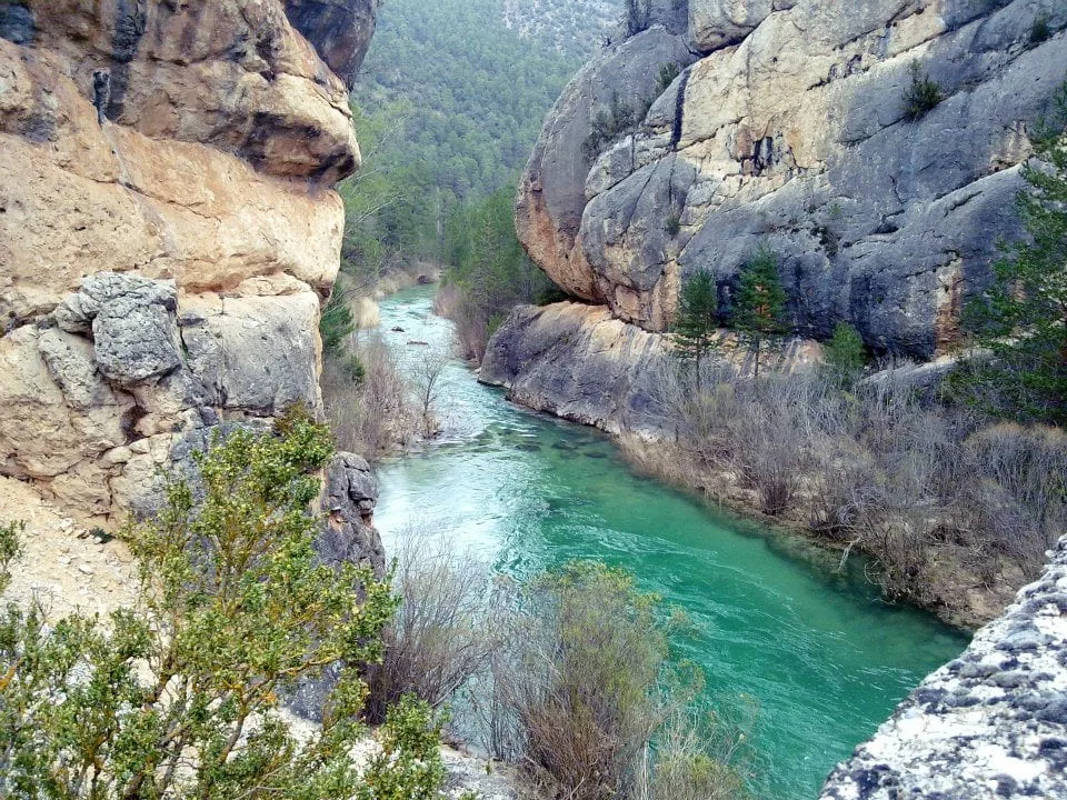
The Cabrillas route runs along the last 9 km of the river before it flows into the Tagus River near the Peñalén Bridge.
Ver más
The Tagus viewpoints is a solitary route that will take us through spectacular viewpoints to the abysses of the canyon carved by the Tagus river.
Ver más
The Camino de los tratantes is an itinerary that was once travelled by farmers, merchants and livestock traders between Molina, Albarracín and Teruel.
Ver más
The Barranco del Arandilla route is a beautiful and flat 6 km walk along the riverbed up to the Montesinos hermitage.
Ver más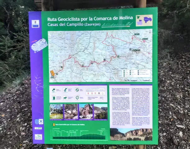
Geocyclist route of approximately 300 km that covers a large part of the Molina - Alto Tajo Geopark.
Ver más
From Valencia to Lisbon for 1600 kilometres, mainly following the route described by the Tagus River, it follows the route of the Gr-10.
Ver más
The Ablanquejo river ravine route is ideal for getting to know this area of juniper groves and green fields, which transmit a sense of peace and serenity.
Ver más
Empty Mountains can be considered a free route, without a specific date. You choose when to come and do it and with whom.
Ver más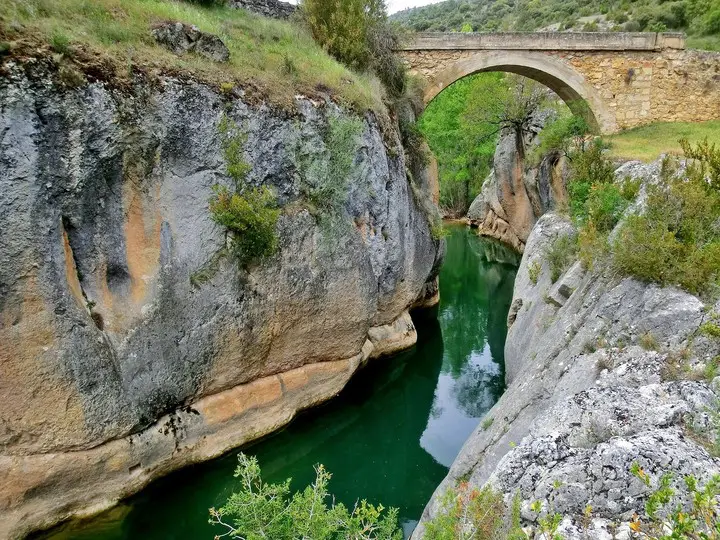
The route from Huertapelayo to the Tagüenza Bridge is one of the routes in the Alto Tajo that you cannot miss if you visit it.
Ver más
The Barranco de Térzaga Route takes us to a beautiful landscape, often unknown, framed in the Alto Tajo Natural Park.
Ver más
The Cobeta to San Antonio hermitage route is a 5-kilometre walk that takes us to an aragonite deposit in the Molina-Alto Tajo Geopark.
Ver más